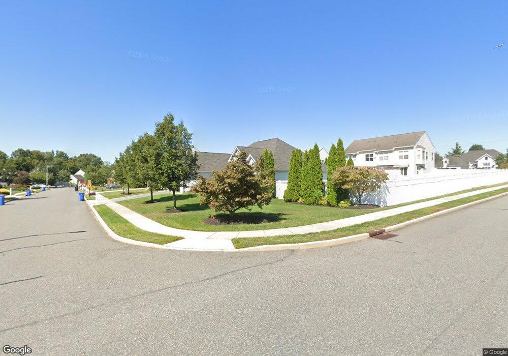
82 Weathervane Dr Mount Royal, NJ 08061
Estimated Value: $448,877 - $483,000
Studio
--
Bath
1,898
Sq Ft
$249/Sq Ft
Est. Value
About This Home
This home is located at 82 Weathervane Dr, Mount Royal, NJ 08061 and is currently estimated at $473,219, approximately $249 per square foot. 82 Weathervane Dr is a home located in Gloucester County with nearby schools including Jeffrey Clark School, Samuel Mickle School, and Kingsway Regional Middle School.
Ownership History
Date
Name
Owned For
Owner Type
Purchase Details
Closed on
Jul 3, 2024
Sold by
Ferguson Brian E
Bought by
Ferguson Christine and Ferguson Kelly
Current Estimated Value
Purchase Details
Closed on
May 6, 2005
Sold by
King Paula S and Vliet Kristine M
Bought by
Ferguson Brian E
Home Financials for this Owner
Home Financials are based on the most recent Mortgage that was taken out on this home.
Original Mortgage
$220,000
Interest Rate
4.95%
Mortgage Type
Fannie Mae Freddie Mac
Purchase Details
Closed on
May 29, 2002
Sold by
Weathervane Farms Llc
Bought by
King Paula S and Vliet Kristine M
Home Financials for this Owner
Home Financials are based on the most recent Mortgage that was taken out on this home.
Original Mortgage
$170,000
Interest Rate
7%
Mortgage Type
Balloon
Create a Home Valuation Report for This Property
The Home Valuation Report is an in-depth analysis detailing your home's value as well as a comparison with similar homes in the area
Home Values in the Area
Average Home Value in this Area
Purchase History
| Date | Buyer | Sale Price | Title Company |
|---|---|---|---|
| Ferguson Christine | -- | None Listed On Document | |
| Ferguson Christine | -- | None Listed On Document | |
| Ferguson Brian E | $279,900 | Fidelity Title Abstract Co | |
| King Paula S | $200,005 | -- |
Source: Public Records
Mortgage History
| Date | Status | Borrower | Loan Amount |
|---|---|---|---|
| Previous Owner | Ferguson Brian E | $220,000 | |
| Previous Owner | King Paula S | $170,000 |
Source: Public Records
Tax History
| Year | Tax Paid | Tax Assessment Tax Assessment Total Assessment is a certain percentage of the fair market value that is determined by local assessors to be the total taxable value of land and additions on the property. | Land | Improvement |
|---|---|---|---|---|
| 2025 | $8,561 | $269,300 | $72,600 | $196,700 |
| 2024 | $8,289 | $269,300 | $72,600 | $196,700 |
| 2023 | $8,289 | $269,300 | $72,600 | $196,700 |
| 2022 | $8,055 | $269,300 | $72,600 | $196,700 |
| 2021 | $8,109 | $269,300 | $72,600 | $196,700 |
| 2020 | $8,146 | $269,300 | $72,600 | $196,700 |
| 2019 | $8,063 | $269,300 | $72,600 | $196,700 |
| 2018 | $7,827 | $237,400 | $77,600 | $159,800 |
| 2017 | $7,725 | $237,400 | $77,600 | $159,800 |
| 2016 | $7,635 | $237,400 | $77,600 | $159,800 |
| 2015 | $7,317 | $237,400 | $77,600 | $159,800 |
| 2014 | $6,866 | $237,400 | $77,600 | $159,800 |
Source: Public Records
Map
Nearby Homes
- 114 Sunset Dr
- 139 Tradewinds Dr
- 105 Oakridge Dr
- 121 Weathervane Dr
- 159 Acorn Dr
- 276-280 County House Rd
- 366 Concetta Dr
- 109 River Road Dr
- 296 Ogden Station Rd
- 253 Jessups Mill Rd
- 255 Genesee Rd
- 340 Harrison Ave
- 4 Morton Ln
- 33 Bear Creek Dr
- 2 Morton Ln
- 209 Charles Corliss Blvd
- 20 Eagle Ridge Dr
- 802 Sunflower Way
- 17 Sanctuary Place
- 120 Jubilee Dr
- 80 Weathervane Dr
- 83 Sunset Dr
- 81 Sunset Dr
- 83 Weathervane Dr
- 86 Weathervane Dr
- 78 Weathervane Dr
- 81 Weathervane Dr
- 79 Sunset Dr
- 87 Sunset Dr
- 87 Weathervane Dr
- 79 Weathervane Dr
- 76 Weathervane Dr
- 82 Sunset Dr
- 88 Weathervane Dr
- 77 Sunset Dr
- 80 Sunset Dr
- 89 Sunset Dr
- 77 Weathervane Dr
- 89 Weathervane Dr
- 78 Sunset Dr
Your Personal Tour Guide
Ask me questions while you tour the home.