82 Wes Locke Rd Barnstead, NH 03218
Estimated Value: $430,000 - $507,000
3
Beds
2
Baths
1,878
Sq Ft
$246/Sq Ft
Est. Value
About This Home
This home is located at 82 Wes Locke Rd, Barnstead, NH 03218 and is currently estimated at $462,178, approximately $246 per square foot. 82 Wes Locke Rd is a home with nearby schools including Barnstead Elementary School and Prospect Mountain High School.
Ownership History
Date
Name
Owned For
Owner Type
Purchase Details
Closed on
May 8, 2023
Sold by
Locke Carol
Bought by
Carol Locke 2023 T
Current Estimated Value
Purchase Details
Closed on
Jan 27, 2012
Sold by
Locke Garrick and Locke Clayton
Bought by
Locke Carol
Create a Home Valuation Report for This Property
The Home Valuation Report is an in-depth analysis detailing your home's value as well as a comparison with similar homes in the area
Home Values in the Area
Average Home Value in this Area
Purchase History
| Date | Buyer | Sale Price | Title Company |
|---|---|---|---|
| Carol Locke 2023 T | -- | None Available | |
| Locke Carol | -- | -- |
Source: Public Records
Tax History Compared to Growth
Tax History
| Year | Tax Paid | Tax Assessment Tax Assessment Total Assessment is a certain percentage of the fair market value that is determined by local assessors to be the total taxable value of land and additions on the property. | Land | Improvement |
|---|---|---|---|---|
| 2024 | $4,414 | $270,653 | $110,853 | $159,800 |
| 2023 | $3,884 | $270,647 | $110,847 | $159,800 |
| 2022 | $3,667 | $169,768 | $51,968 | $117,800 |
| 2021 | $3,728 | $169,784 | $51,984 | $117,800 |
| 2020 | $3,924 | $169,875 | $52,075 | $117,800 |
| 2019 | $3,880 | $169,934 | $52,134 | $117,800 |
| 2018 | $3,775 | $169,685 | $51,885 | $117,800 |
| 2017 | $3,581 | $123,921 | $40,521 | $83,400 |
| 2016 | $3,376 | $123,898 | $40,498 | $83,400 |
| 2015 | $3,364 | $123,906 | $40,506 | $83,400 |
| 2014 | $3,183 | $132,834 | $40,534 | $92,300 |
| 2013 | $3,128 | $133,086 | $40,786 | $92,300 |
Source: Public Records
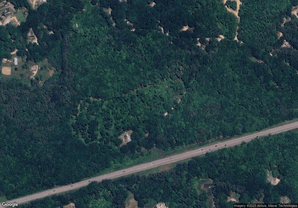
Map
Nearby Homes
- 22-54 Red Oak Rd
- 41 Pinepark Dr
- 93 E Huntress Pond Rd
- 4 Parade Cir
- 4 Sandy Point Rd
- 109 Shackford Corner Rd
- M10 L26-3 Valley Dam Rd
- L33 Province Rd
- M2-l29-2 Province Rd
- 11 Gray Rd
- 260 Garland Rd
- 16 Ridge Rd
- 277 Shackford Corner Rd
- Lot 33 Ridge Rd
- 371 Province Rd
- 0 Shaw Rd Unit 36-1
- 25 Vail Rd
- L68-1 Vail Rd
- 77 Vail Rd
- 109 Vail Rd
- 373 Suncook Valley Rd
- 137 Parade Rd
- 127 Parade Rd
- 143 Parade Rd
- 157 Parade Rd
- 122 Parade Rd
- 107 Wes Locke Rd
- 130-132 Wes Locke Rd
- 117 Wes Locke Rd
- 156 Wes Locke Rd
- 88 Wes Locke Rd
- 97 Wes Locke Rd
- 1 Red Oak Rd
- 123 Wes Locke Rd
- 152 Parade Rd
- Lots 22-6, 7, 8 Wes Locke Rd
- Lots 6,7,8 Wes Locke Rd
- L13 Wes Locke Rd
- 147 Wes Locke Rd
- 1-1 Bow Lake