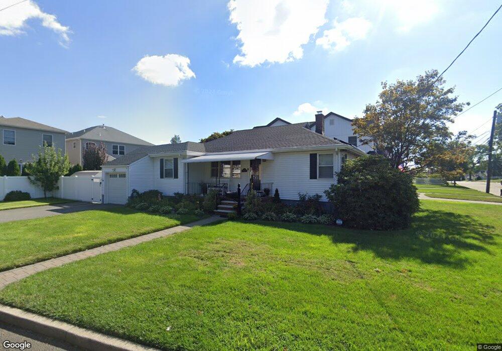
82 Wood St Hasbrouck Heights, NJ 07604
Estimated Value: $626,000 - $684,000
--
Bed
--
Bath
1,048
Sq Ft
$617/Sq Ft
Est. Value
About This Home
This home is located at 82 Wood St, Hasbrouck Heights, NJ 07604 and is currently estimated at $646,916, approximately $617 per square foot. 82 Wood St is a home located in Bergen County with nearby schools including Hasbrouck Heights High School and Corpus Christi School.
Ownership History
Date
Name
Owned For
Owner Type
Purchase Details
Closed on
Nov 15, 2021
Sold by
Werner Jeffrey and Werner Jennifer
Bought by
Provost Sara
Current Estimated Value
Purchase Details
Closed on
Mar 25, 2010
Sold by
Perotti Patrick
Bought by
Werner Jeffrey
Home Financials for this Owner
Home Financials are based on the most recent Mortgage that was taken out on this home.
Original Mortgage
$248,417
Interest Rate
4.87%
Mortgage Type
FHA
Create a Home Valuation Report for This Property
The Home Valuation Report is an in-depth analysis detailing your home's value as well as a comparison with similar homes in the area
Home Values in the Area
Average Home Value in this Area
Purchase History
| Date | Buyer | Sale Price | Title Company |
|---|---|---|---|
| Provost Sara | $500,000 | Empire Title Agency Llc | |
| Werner Jeffrey | $253,000 | -- |
Source: Public Records
Mortgage History
| Date | Status | Borrower | Loan Amount |
|---|---|---|---|
| Previous Owner | Werner Jeffrey | $248,417 |
Source: Public Records
Tax History Compared to Growth
Tax History
| Year | Tax Paid | Tax Assessment Tax Assessment Total Assessment is a certain percentage of the fair market value that is determined by local assessors to be the total taxable value of land and additions on the property. | Land | Improvement |
|---|---|---|---|---|
| 2025 | $9,637 | $377,200 | $234,500 | $142,700 |
| 2024 | $9,318 | $377,200 | $234,500 | $142,700 |
| 2023 | $9,069 | $361,600 | $224,500 | $137,100 |
| 2022 | $9,069 | $336,900 | $207,000 | $129,900 |
| 2021 | $8,873 | $314,200 | $194,500 | $119,700 |
| 2020 | $8,617 | $299,600 | $184,500 | $115,100 |
| 2019 | $8,384 | $294,700 | $182,000 | $112,700 |
| 2018 | $8,268 | $289,900 | $179,500 | $110,400 |
| 2017 | $8,140 | $285,000 | $177,000 | $108,000 |
| 2016 | $8,064 | $265,700 | $167,000 | $98,700 |
| 2015 | $7,934 | $265,700 | $167,000 | $98,700 |
| 2014 | $7,716 | $265,700 | $167,000 | $98,700 |
Source: Public Records
Map
Nearby Homes
- 110 Harrison Ave
- 38 Springfield Ave
- 243 Cleveland Ave
- 2 Passaic Ave
- 25 Roosevelt Dr
- 27 Roosevelt Dr
- 288 Sussex Rd
- 30 Woodside Ave
- 311 Harrison Ave
- 43 Wesmont Dr Unit 1712
- 73 Wesmont Dr Unit 1811
- 129 Eisenhower Ln Unit 2109
- 289 Valley Blvd Unit 1D
- 289 Valley Blvd Unit 1A
- 109 Wesmont Dr Unit 1913
- 420 Innes Rd
- 68 Wesmont Dr
- 432 Innes Rd
- 102 Wesmont Dr
- 208 Jefferson Ave
- 107 Columbus Ave
- 108 Springfield Ave
- 110 Springfield Ave
- 109 Columbus Ave
- 112 Springfield Ave
- 81 Wood St
- 104 Columbus Ave
- 90 Columbus Ave
- 87 Wood St
- 108 Columbus Ave
- 117 Columbus Ave
- 71 Wood St
- 91 Wood St
- 91 Wood St Unit 2nd Floor
- 77 Columbus Ave
- 124 Springfield Ave
- 96 Wood St
- 84 Columbus Ave
- 116 Columbus Ave
- 67 Wood St