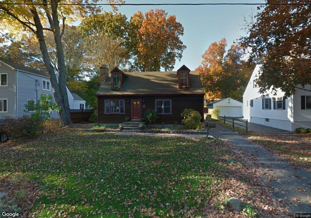
82 Woodcrest Rd Fairfield, CT 06824
University NeighborhoodEstimated Value: $666,000 - $845,183
3
Beds
3
Baths
1,440
Sq Ft
$523/Sq Ft
Est. Value
About This Home
This home is located at 82 Woodcrest Rd, Fairfield, CT 06824 and is currently estimated at $753,796, approximately $523 per square foot. 82 Woodcrest Rd is a home located in Fairfield County with nearby schools including Holland Hill Elementary, Fairfield Woods Middle School, and Fairfield Ludlowe High School.
Ownership History
Date
Name
Owned For
Owner Type
Purchase Details
Closed on
Apr 29, 1994
Sold by
Erickson Dorothy T Est
Bought by
Manderville William R and Manderville Diane
Current Estimated Value
Create a Home Valuation Report for This Property
The Home Valuation Report is an in-depth analysis detailing your home's value as well as a comparison with similar homes in the area
Home Values in the Area
Average Home Value in this Area
Purchase History
| Date | Buyer | Sale Price | Title Company |
|---|---|---|---|
| Manderville William R | $163,000 | -- | |
| Manderville William R | $163,000 | -- |
Source: Public Records
Mortgage History
| Date | Status | Borrower | Loan Amount |
|---|---|---|---|
| Open | Manderville William R | $300,000 | |
| Closed | Manderville William R | $200,000 | |
| Closed | Manderville William R | $205,000 |
Source: Public Records
Tax History Compared to Growth
Tax History
| Year | Tax Paid | Tax Assessment Tax Assessment Total Assessment is a certain percentage of the fair market value that is determined by local assessors to be the total taxable value of land and additions on the property. | Land | Improvement |
|---|---|---|---|---|
| 2025 | $9,933 | $349,860 | $232,120 | $117,740 |
| 2024 | $9,761 | $349,860 | $232,120 | $117,740 |
| 2023 | $9,625 | $349,860 | $232,120 | $117,740 |
| 2022 | $9,530 | $349,860 | $232,120 | $117,740 |
| 2021 | $9,439 | $349,860 | $232,120 | $117,740 |
| 2020 | $8,114 | $302,890 | $190,610 | $112,280 |
| 2019 | $8,114 | $302,890 | $190,610 | $112,280 |
| 2018 | $7,984 | $302,890 | $190,610 | $112,280 |
| 2017 | $7,821 | $302,890 | $190,610 | $112,280 |
| 2016 | $7,709 | $302,890 | $190,610 | $112,280 |
| 2015 | $7,748 | $312,550 | $205,800 | $106,750 |
| 2014 | $7,626 | $312,550 | $205,800 | $106,750 |
Source: Public Records
Map
Nearby Homes
- 270 Oakwood Dr
- 1009 High St
- 143 Sawyer Rd
- 1335 Black Rock Turnpike
- 42 Green Knolls Ln
- 162 Country Rd Unit 162
- 221 Hunyadi Ave
- 115 Mayfair Rd
- 271 Jeniford Rd
- 706 Judd St
- 244 Tunxis Hill Cut Off
- 359 Reid St
- 1035 Black Rock Turnpike Unit 1035
- 140 Tunxis Hill Cut Off
- 251 Soundview Ave
- 45 Robin Cir
- 68 Figlar Ave
- 151 May St
- 67 Campfield Dr
- 235 Lovers Ln
- 98 Woodcrest Rd
- 54 Woodcrest Rd
- 104 Woodcrest Rd
- 97 Woodcrest Rd
- 97 Woodcrest Rd Unit 97
- 42 Woodcrest Rd
- 232 Oakwood Dr
- 79 Woodcrest Rd
- 201 Judd St
- 63 Woodcrest Rd
- 95 Woodcrest Rd
- 95 Woodcrest Rd Unit 95
- 50 Abigails Way
- 234 Oakwood Dr
- 206 Oakwood Dr
- 55 Woodcrest Rd
- 240 Oakwood Dr
- 36 Woodcrest Rd
- 177 Judd St
- 43 Woodcrest Rd