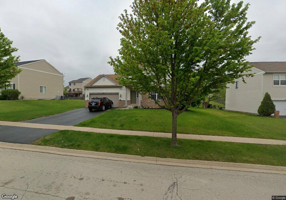
820 Briarcliff Dr Minooka, IL 60447
North Minooka NeighborhoodEstimated Value: $328,000 - $380,000
4
Beds
3
Baths
1,978
Sq Ft
$184/Sq Ft
Est. Value
About This Home
This home is located at 820 Briarcliff Dr, Minooka, IL 60447 and is currently estimated at $363,225, approximately $183 per square foot. 820 Briarcliff Dr is a home located in Kendall County with nearby schools including Jones Elementary School, Minooka Junior High School, and Minooka Intermediate School.
Ownership History
Date
Name
Owned For
Owner Type
Purchase Details
Closed on
Oct 31, 2006
Sold by
Summerfield Venture Llc
Bought by
Cardona Maureen
Current Estimated Value
Home Financials for this Owner
Home Financials are based on the most recent Mortgage that was taken out on this home.
Original Mortgage
$231,900
Outstanding Balance
$157,379
Interest Rate
9%
Mortgage Type
Purchase Money Mortgage
Estimated Equity
$205,846
Create a Home Valuation Report for This Property
The Home Valuation Report is an in-depth analysis detailing your home's value as well as a comparison with similar homes in the area
Home Values in the Area
Average Home Value in this Area
Purchase History
We collect this data history from publicly available records. To have your information removed, we recommend requesting removal directly through your county’s website.
| Date | Buyer | Sale Price | Title Company |
|---|---|---|---|
| Cardona Maureen | $232,000 | North American Title Co |
Source: Public Records
Mortgage History
We collect this data history from publicly available records. To have your information removed, we recommend requesting removal directly through your county’s website.
| Date | Status | Borrower | Loan Amount |
|---|---|---|---|
| Open | Cardona Maureen | $231,900 |
Source: Public Records
Tax History
| Year | Tax Paid | Tax Assessment Tax Assessment Total Assessment is a certain percentage of the fair market value that is determined by local assessors to be the total taxable value of land and additions on the property. | Land | Improvement |
|---|---|---|---|---|
| 2024 | $8,341 | $106,304 | $15,425 | $90,879 |
| 2023 | $6,618 | $97,216 | $14,690 | $82,526 |
| 2022 | $6,618 | $83,841 | $13,990 | $69,851 |
| 2021 | $6,485 | $80,134 | $14,203 | $65,931 |
| 2020 | $6,423 | $76,539 | $13,566 | $62,973 |
| 2019 | $6,469 | $75,141 | $13,318 | $61,823 |
| 2018 | $6,249 | $73,501 | $13,027 | $60,474 |
| 2017 | $6,129 | $69,240 | $13,027 | $56,213 |
| 2016 | $5,701 | $64,339 | $12,866 | $51,473 |
| 2015 | $5,426 | $61,060 | $12,210 | $48,850 |
| 2014 | -- | $58,494 | $12,210 | $46,284 |
| 2013 | -- | $58,494 | $12,210 | $46,284 |
Source: Public Records
Map
Nearby Homes
- 736 Briarcliff Dr
- 194 acres W Holt Rd
- 4500 Bell Rd
- 2041 Isabella Ln
- LOT 1 Bob Blair Rd
- 605 Davidson Dr Unit B
- 701 Davidson Dr Unit B
- 300 Arrowhead Dr
- 307 Illini Dr
- 405 W Mondamin St
- 103 E Saint Marys St
- 2037 Isabella Ln
- 108 Deerpath Dr
- 6010-6060 E Minooka Rd
- 502 Kilheeney Dr
- VL Mcevilly Rd
- 500 Rivers Edge Dr
- 603 Mahoney Dr
- 607 Flanagan Dr Unit B
- 517 Rivers Edge Dr
- 824 Briarcliff Dr
- 816 Briarcliff Dr
- 705 Gallant Dr Unit 1
- 701 Gallant Dr
- 812 Briarcliff Dr
- 828 Briarcliff Dr
- 709 Gallant Dr
- 821 Briarcliff Dr
- 635 Gallant Dr
- 817 Briarcliff Dr
- 825 Briarcliff Dr
- 813 Briarcliff Dr
- 804 Briarcliff Dr
- 832 Briarcliff Dr Unit 1
- 829 Briarcliff Dr
- 713 Gallant Dr
- 631 Gallant Dr
- 809 Briarcliff Dr
- 702 Gallant Dr
- 706 Gallant Dr
Your Personal Tour Guide
Ask me questions while you tour the home.