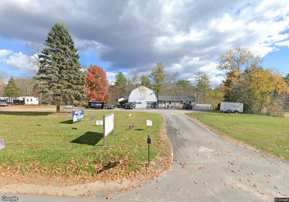
820 Harold L Dow Hwy Eliot, ME 03903
East Eliot Neighborhood
--
Bed
--
Bath
6,000
Sq Ft
0.68
Acres
About This Home
This home is located at 820 Harold L Dow Hwy, Eliot, ME 03903. 820 Harold L Dow Hwy is a home located in York County with nearby schools including Marshwood High School and Seacoast Waldorf School.
Ownership History
Date
Name
Owned For
Owner Type
Purchase Details
Closed on
Aug 12, 2016
Sold by
Duval Michele
Bought by
Bear Alliance Industri
Home Financials for this Owner
Home Financials are based on the most recent Mortgage that was taken out on this home.
Original Mortgage
$268,000
Interest Rate
3.48%
Mortgage Type
Commercial
Create a Home Valuation Report for This Property
The Home Valuation Report is an in-depth analysis detailing your home's value as well as a comparison with similar homes in the area
Home Values in the Area
Average Home Value in this Area
Purchase History
| Date | Buyer | Sale Price | Title Company |
|---|---|---|---|
| Bear Alliance Industri | -- | -- | |
| Bear Alliance Industri | -- | -- |
Source: Public Records
Mortgage History
| Date | Status | Borrower | Loan Amount |
|---|---|---|---|
| Closed | Bear Alliance Industri | $268,000 |
Source: Public Records
Tax History Compared to Growth
Tax History
| Year | Tax Paid | Tax Assessment Tax Assessment Total Assessment is a certain percentage of the fair market value that is determined by local assessors to be the total taxable value of land and additions on the property. | Land | Improvement |
|---|---|---|---|---|
| 2024 | $7,151 | $603,500 | $258,400 | $345,100 |
| 2023 | $4,257 | $347,500 | $251,400 | $96,100 |
| 2022 | $4,205 | $347,500 | $251,400 | $96,100 |
| 2021 | $4,327 | $320,500 | $224,400 | $96,100 |
| 2020 | $3,031 | $206,200 | $139,700 | $66,500 |
| 2019 | $3,031 | $206,200 | $139,700 | $66,500 |
| 2018 | $3,031 | $206,200 | $139,700 | $66,500 |
| 2017 | $2,949 | $206,200 | $139,700 | $66,500 |
| 2016 | $2,897 | $206,200 | $139,700 | $66,500 |
| 2015 | $2,887 | $206,200 | $139,700 | $66,500 |
| 2014 | $2,846 | $206,200 | $139,700 | $66,500 |
| 2013 | $2,716 | $206,200 | $139,700 | $66,500 |
Source: Public Records
Map
Nearby Homes
- 35 Marshwood Dr
- 19 Heritage Dr
- 16 Imperial Dr
- 25 Heritage Dr
- 34 Imperial Dr
- Lot 2 Cedar Tbd
- Lot 1 Cedar Tbd
- TBD Cedar Rd
- 10 Broadfields Rd
- 82 Stacy Ln
- 1708 State Rd
- 0 Goodwin Rd Unit 1626810
- 51 Woodland Hills
- 708 River Rd Unit 3
- 708 River Rd Unit 2
- 18 Governor Hill Rd
- 19 Schooner Dr
- 25 Fosters Dr
- 25 Shore Ln
- 4 Shore Ln
- 820 Harold L Dow Hwy
- 820 Harold L Dow Hwy
- 820 Maine 236
- 814 H L Dow Highway (Route 236)
- 814 Route 236 (Harold L Dow)
- 814 Harold L Dow Hwy
- 824 Maine 236
- 820 Harold Dow Highway Rt236
- 0 Ambush Rock Rd Unit 764695
- 0 Ambush Rock Rd Unit 970855
- 0 Ambush Rock Rd Unit 1088492
- 806 Harold L Dow Hwy
- 806 Harold Dow Hwy
- 811 H L Dow Hwy
- 27 Marshwood Dr
- 3 Crosby Dr
- 4 Heritage Dr
- 20 Ambush Rock Rd
- 1 Heritage Dr
- 10 Heritage Dr