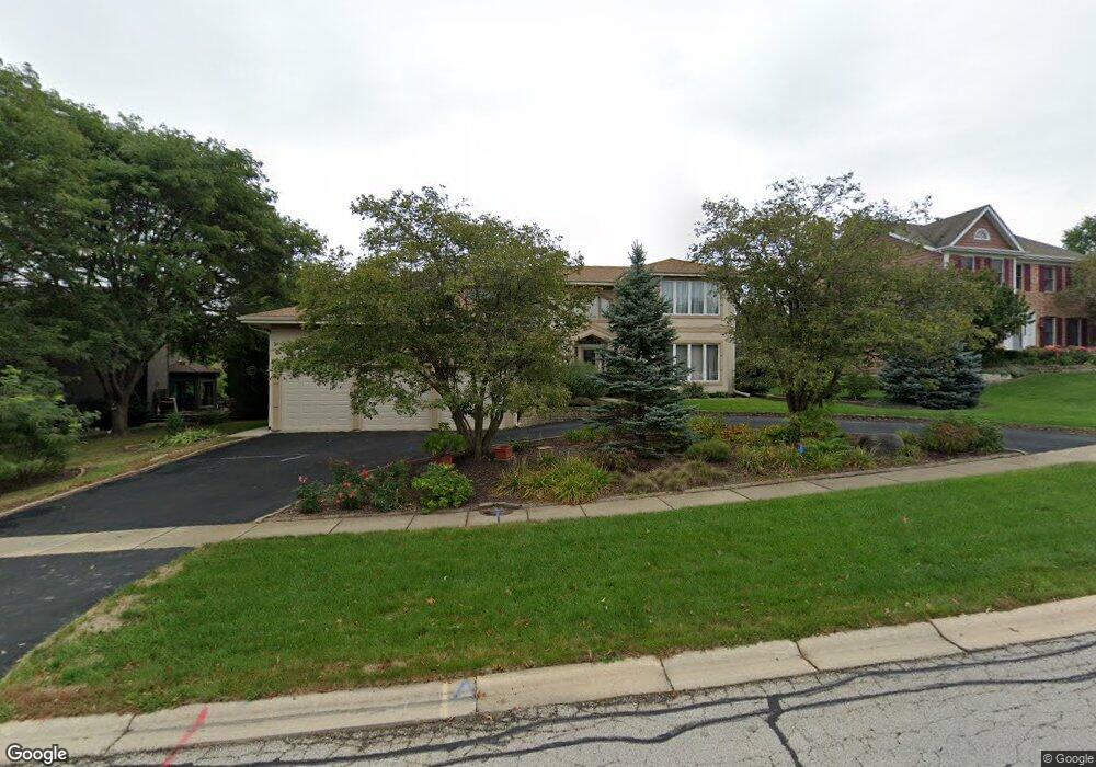
820 Lund Ln Batavia, IL 60510
Southeast Batavia NeighborhoodEstimated Value: $617,951 - $666,000
About This Home
This home is located at 820 Lund Ln, Batavia, IL 60510 and is currently estimated at $644,488, approximately $208 per square foot. 820 Lund Ln is a home located in Kane County with nearby schools including J B Nelson Elementary School, Sam Rotolo Middle School, and Batavia Sr High School.
Ownership History
We collect this data history from publicly available records. To have your information removed, we recommend requesting removal directly through your county’s website.
Purchase Details
Home Financials for this Owner
Home Financials are based on the most recent Mortgage that was taken out on this home.Home Values in the Area
Average Home Value in this Area
Purchase History
We collect this data history from publicly available records. To have your information removed, we recommend requesting removal directly through your county’s website.
| Date | Buyer | Sale Price | Title Company |
|---|---|---|---|
| $337,000 | Lawyers Title Pick Up |
Mortgage History
We collect this data history from publicly available records. To have your information removed, we recommend requesting removal directly through your county’s website.
| Date | Status | Borrower | Loan Amount |
|---|---|---|---|
| Previous Owner | $150,000 |
Tax History
We collect this data history from publicly available records. To have your information removed, we recommend requesting removal directly through your county’s website.
| Year | Tax Paid | Tax Assessment Tax Assessment Total Assessment is a certain percentage of the fair market value that is determined by local assessors to be the total taxable value of land and additions on the property. | Land | Improvement |
|---|---|---|---|---|
| 2024 | $13,459 | $186,224 | $16,748 | $169,476 |
| 2023 | $13,130 | $169,018 | $15,201 | $153,817 |
| 2022 | $12,235 | $151,116 | $14,207 | $136,909 |
| 2021 | $11,730 | $143,319 | $13,474 | $129,845 |
| 2020 | $12,522 | $152,883 | $13,215 | $139,668 |
| 2019 | $12,308 | $147,471 | $12,747 | $134,724 |
| 2018 | $11,806 | $141,853 | $12,261 | $129,592 |
| 2017 | $11,512 | $137,176 | $11,857 | $125,319 |
| 2016 | $11,258 | $133,181 | $11,512 | $121,669 |
| 2015 | -- | $130,149 | $11,250 | $118,899 |
| 2014 | -- | $126,052 | $10,896 | $115,156 |
| 2013 | -- | $123,592 | $10,683 | $112,909 |
Map
- 908 Knox Ln
- 745 Newberry Dr
- 424 S Forest Ave
- 701 Viking Dr
- 272 S Forest Ave
- 1134 Wintergreen Ct
- Lot 4 Manchester Ave
- 511 S Prairie St
- 808 S Van Buren St
- 34W246 Giese Rd Unit 1
- 847 Woodland Hills Rd
- 1098 Cleveland Ave
- 509 S Van Buren St
- 415 S Van Buren St
- 860 S River St
- 261 Johnson Woods Dr
- 1179 Hanover Dr Unit 1
- 1025 E Wilson St
- 809 E Wilson St
- 493 Bond Dr
Ask me questions while you tour the home.