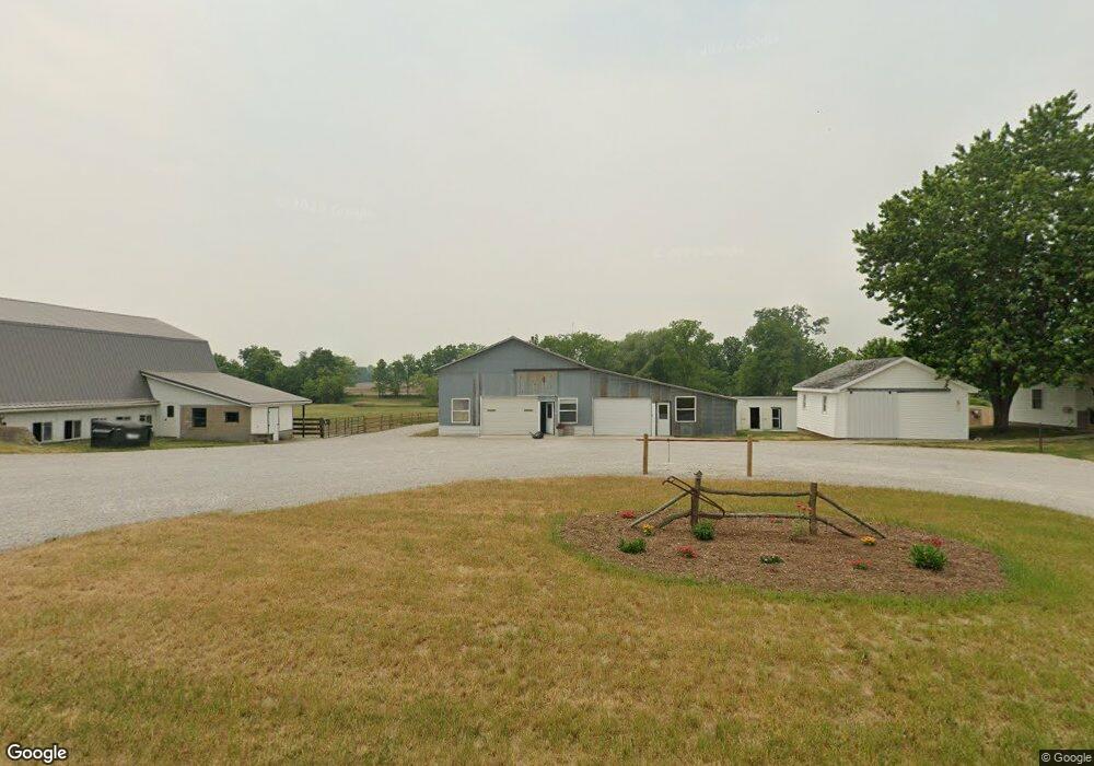
820 N 450 E Lagrange, IN 46761
Estimated Value: $524,000 - $637,261
5
Beds
1
Bath
3,132
Sq Ft
$189/Sq Ft
Est. Value
About This Home
This home is located at 820 N 450 E, Lagrange, IN 46761 and is currently estimated at $590,565, approximately $188 per square foot. 820 N 450 E is a home located in LaGrange County with nearby schools including Lakeland Jr/Sr High School, Little Acorn School, and Bloomfield Hills School.
Ownership History
Date
Name
Owned For
Owner Type
Purchase Details
Closed on
Oct 1, 2025
Sold by
Yoder Martin W and Yoder Mary E
Bought by
Troyer James Allen and Troyer Pauline P
Current Estimated Value
Home Financials for this Owner
Home Financials are based on the most recent Mortgage that was taken out on this home.
Original Mortgage
$245,000
Outstanding Balance
$244,098
Interest Rate
6.45%
Mortgage Type
New Conventional
Estimated Equity
$346,467
Purchase Details
Closed on
Dec 18, 2009
Sold by
Johnnie J Troyer
Bought by
Yoder Martin W and Yoder Mary E
Create a Home Valuation Report for This Property
The Home Valuation Report is an in-depth analysis detailing your home's value as well as a comparison with similar homes in the area
Purchase History
| Date | Buyer | Sale Price | Title Company |
|---|---|---|---|
| Troyer James Allen | -- | None Listed On Document | |
| Yoder Martin W | $225,000 | Lakeland Title |
Source: Public Records
Mortgage History
| Date | Status | Borrower | Loan Amount |
|---|---|---|---|
| Open | Troyer James Allen | $245,000 |
Source: Public Records
Tax History
| Year | Tax Paid | Tax Assessment Tax Assessment Total Assessment is a certain percentage of the fair market value that is determined by local assessors to be the total taxable value of land and additions on the property. | Land | Improvement |
|---|---|---|---|---|
| 2025 | $2,342 | $486,000 | $82,600 | $403,400 |
| 2024 | $2,342 | $478,300 | $84,500 | $393,800 |
| 2023 | $2,698 | $461,600 | $77,800 | $383,800 |
| 2022 | $2,702 | $408,000 | $58,800 | $349,200 |
| 2021 | $2,254 | $370,900 | $55,100 | $315,800 |
| 2020 | $2,363 | $349,600 | $52,800 | $296,800 |
| 2019 | $3,033 | $345,600 | $56,200 | $289,400 |
| 2018 | $2,467 | $330,500 | $56,800 | $273,700 |
| 2017 | $2,341 | $322,300 | $59,700 | $262,600 |
| 2016 | $1,961 | $308,900 | $60,900 | $248,000 |
| 2014 | $752 | $139,300 | $31,900 | $107,400 |
| 2013 | $752 | $138,600 | $30,100 | $108,500 |
Source: Public Records
Map
Nearby Homes
- 1055 S 495 E
- 1630 S 485 E
- 1400 N 200 E
- 2140 S 500 E
- 2200 S 460 E
- 2375 S 460 E
- 602 N Maple St
- 737 N Canal St
- 2325 E 400 N
- 314 E Michigan St
- 5520 E 475 N
- 207 S Poplar St
- 109 E Factory St
- 307 N Detroit St
- 202 W Central Ave
- 2930 N 080 E
- 2200 S State Road 9 Hwy
- 217-219 Church St
- 217 N Sherman St
- 920 N 00ew
Your Personal Tour Guide
Ask me questions while you tour the home.