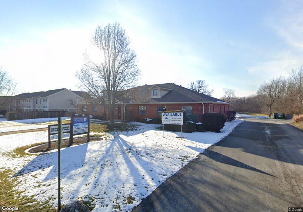
820 S Bartlett Rd Streamwood, IL 60107
Estimated Value: $585,388
Studio
--
Bath
5,995
Sq Ft
$98/Sq Ft
Est. Value
About This Home
This home is located at 820 S Bartlett Rd, Streamwood, IL 60107 and is currently estimated at $585,388, approximately $97 per square foot. 820 S Bartlett Rd is a home located in Cook County with nearby schools including Hanover Countryside Elementary School, Canton Middle School, and Streamwood High School.
Ownership History
Date
Name
Owned For
Owner Type
Purchase Details
Closed on
Aug 13, 2021
Sold by
Chicago Title Land Trust Company
Bought by
Nsp Capital Llc
Current Estimated Value
Purchase Details
Closed on
Jul 27, 2002
Sold by
Harris Trust & Savings Bank
Bought by
Cosmopolitan Bank & Trust and Trust #31900
Purchase Details
Closed on
Nov 2, 1999
Sold by
Harris Bank Palatine
Bought by
Harris Bank Palatine and Trust #13419
Create a Home Valuation Report for This Property
The Home Valuation Report is an in-depth analysis detailing your home's value as well as a comparison with similar homes in the area
Home Values in the Area
Average Home Value in this Area
Purchase History
| Date | Buyer | Sale Price | Title Company |
|---|---|---|---|
| Nsp Capital Llc | $452,500 | Chicago Title | |
| Cosmopolitan Bank & Trust | -- | -- | |
| Harris Bank Palatine | -- | -- |
Source: Public Records
Tax History
| Year | Tax Paid | Tax Assessment Tax Assessment Total Assessment is a certain percentage of the fair market value that is determined by local assessors to be the total taxable value of land and additions on the property. | Land | Improvement |
|---|---|---|---|---|
| 2025 | $34,845 | $118,000 | $48,851 | $69,149 |
| 2024 | $34,845 | $113,126 | $83,745 | $29,381 |
| 2023 | $33,934 | $113,125 | $83,745 | $29,380 |
| 2022 | $33,934 | $113,125 | $83,745 | $29,380 |
| 2021 | $41,356 | $113,125 | $83,745 | $29,380 |
| 2020 | $45,281 | $125,998 | $83,745 | $42,253 |
| 2019 | $50,194 | $157,085 | $83,745 | $73,340 |
| 2018 | $45,265 | $128,525 | $66,298 | $62,227 |
| 2017 | $44,643 | $128,525 | $66,298 | $62,227 |
| 2016 | $41,630 | $128,525 | $66,298 | $62,227 |
| 2015 | $45,544 | $128,402 | $59,319 | $69,083 |
| 2014 | $44,855 | $128,402 | $59,319 | $69,083 |
| 2013 | $43,021 | $127,087 | $59,319 | $67,768 |
Source: Public Records
Map
Nearby Homes
- 105 Heritage Ln Unit 173T105
- 12 E Pine St
- 820 S Pine St
- 122 Brittany Dr Unit 16C2
- 11 E Streamwood Blvd
- 107 W Streamwood Blvd
- 132 Meredith Ln Unit 63
- 128 Fairview Ln
- 62 Washington Ave
- 134 Virginia Ct
- 110 Cedar Cir
- 103 Locksley Dr
- 110 Elm Ln
- 2074 Essex Ct Unit 2074
- 148 Locksley Dr
- 305 S Bartlett Rd
- 1108 Oak Ridge Dr
- 1341 Beverly Ln
- 741 W Streamwood Blvd Unit A
- 745 W Streamwood Blvd Unit B
- 820 S Bartlett Rd Unit 102
- 820 S Bartlett Rd Unit 103
- 20 W Briarwood Dr Unit 104S41
- 20 W Briarwood Dr Unit 25T32
- 20 W Briarwood Dr Unit 11S20
- 20 W Briarwood Dr Unit 20
- 20 W Briarwood Dr
- 18 W Briarwood Dr Unit 12S18
- 16 W Briarwood Dr Unit 13S16
- 22 W Briarwood Dr Unit 27R22
- 30 W Briarwood Dr Unit 26Q30
- 32 W Briarwood Dr
- 12 W Briarwood Dr Unit 15T12
- 12 W Briarwood Dr Unit 12
- 34 W Briarwood Dr
- 10 W Briarwood Dr Unit 16Q10
- 4 W Briarwood Dr Unit 17R4
- 806 S Bartlett Rd
- 36 W Briarwood Dr Unit 23T36
- 40 W Briarwood Dr Unit 21R40
Your Personal Tour Guide
Ask me questions while you tour the home.