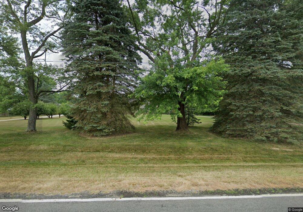
8200 Pontius St NE Alliance, OH 44601
Estimated Value: $545,000 - $638,000
3
Beds
3
Baths
2,996
Sq Ft
$198/Sq Ft
Est. Value
About This Home
This home is located at 8200 Pontius St NE, Alliance, OH 44601 and is currently estimated at $592,615, approximately $197 per square foot. 8200 Pontius St NE is a home located in Stark County with nearby schools including Marlington High School.
Ownership History
Date
Name
Owned For
Owner Type
Purchase Details
Closed on
Aug 30, 2024
Sold by
Hilton J Larry J and Hilton Rebecca L
Bought by
Hilton J Larry J and Hilton Rebecca L
Current Estimated Value
Purchase Details
Closed on
Jun 28, 2004
Sold by
Ware Michael R and Ware Deborah L
Bought by
Hilton J Larry and Hilton Rebecca L
Home Financials for this Owner
Home Financials are based on the most recent Mortgage that was taken out on this home.
Original Mortgage
$106,000
Interest Rate
6.46%
Mortgage Type
Purchase Money Mortgage
Purchase Details
Closed on
Apr 28, 1992
Create a Home Valuation Report for This Property
The Home Valuation Report is an in-depth analysis detailing your home's value as well as a comparison with similar homes in the area
Home Values in the Area
Average Home Value in this Area
Purchase History
| Date | Buyer | Sale Price | Title Company |
|---|---|---|---|
| Hilton J Larry J | -- | None Listed On Document | |
| Hilton J Larry | $333,500 | -- | |
| -- | $21,200 | -- |
Source: Public Records
Mortgage History
| Date | Status | Borrower | Loan Amount |
|---|---|---|---|
| Previous Owner | Hilton J Larry | $106,000 |
Source: Public Records
Tax History Compared to Growth
Tax History
| Year | Tax Paid | Tax Assessment Tax Assessment Total Assessment is a certain percentage of the fair market value that is determined by local assessors to be the total taxable value of land and additions on the property. | Land | Improvement |
|---|---|---|---|---|
| 2025 | -- | $188,720 | $48,510 | $140,210 |
| 2024 | -- | $188,720 | $48,510 | $140,210 |
| 2023 | $4,533 | $131,850 | $27,230 | $104,620 |
| 2022 | $4,564 | $131,850 | $27,230 | $104,620 |
| 2021 | $4,580 | $131,850 | $27,230 | $104,620 |
| 2020 | $4,106 | $109,840 | $22,860 | $86,980 |
| 2019 | $4,077 | $109,850 | $22,870 | $86,980 |
| 2018 | $3,894 | $109,850 | $22,870 | $86,980 |
| 2017 | $4,005 | $104,950 | $19,930 | $85,020 |
| 2016 | $4,008 | $104,950 | $19,930 | $85,020 |
| 2015 | $4,014 | $104,950 | $19,930 | $85,020 |
| 2014 | $1,734 | $91,480 | $17,380 | $74,100 |
| 2013 | $1,827 | $91,480 | $17,380 | $74,100 |
Source: Public Records
Map
Nearby Homes
- 7377 Pontius St NE
- 167 State Route 44
- 3952 Laubert Rd
- 0 New Milford Rd Unit 5119787
- 4829 Laubert Rd
- 8736 Lynn Park St NE
- 14265 Reeder Ave NE
- 0 Pontius St NE
- 12200 Marlboro Ave NE
- 5615 Laubert Rd
- 1291 State Route 44
- 1026 Hartville Rd N
- 6180 Edison St NE
- 3705 Alexander Rd
- 3381 Alexander Rd
- 0 Waterloo Rd
- 14920 Mccallum Ave NE
- 4324 Abbey Ln
- 5457 Waterloo Rd
- 1628 New Milford Rd
- 8260 Pontius St NE
- 8225 Pontius St NE
- 8229 Pontius St NE
- 8314 Pontius St NE
- 8151 Pontius St NE
- 8421 Pontius St NE
- 8030 Pontius St NE
- 8360 Pontius St NE
- 8021 Pontius St NE
- 7985 Pontius St NE
- 7954 Pontius St NE
- 8463 Pontius St NE
- 4 Albert Horning Rd
- 24 Albert Horning Rd
- 76 Albert Horning Rd
- 55 Albert Horning Rd
- 33 Albert Horning Rd
- 7884 Pontius St NE
- 7855 Pontius St NE
- 8515 Pontius St NE
