8202 Unit Ave Brownton, MN 55312
Estimated Value: $369,000
4
Beds
1
Bath
1,692
Sq Ft
$218/Sq Ft
Est. Value
About This Home
This home is located at 8202 Unit Ave, Brownton, MN 55312 and is currently estimated at $369,000, approximately $218 per square foot. 8202 Unit Ave is a home located in McLeod County with nearby schools including Buffalo Lake-Hector Elementary School and Buffalo Lake-Hector Secondary School.
Ownership History
Date
Name
Owned For
Owner Type
Purchase Details
Closed on
Dec 22, 2025
Sold by
Koenig Michael and Koenig Cynthia
Bought by
Koenig Kalvin and Koenig Jaden
Current Estimated Value
Purchase Details
Closed on
Mar 11, 2025
Sold by
Burge Gerald and Burge Ryan
Bought by
Koenig Michael and Koenig Cynthia
Purchase Details
Closed on
Jul 12, 2024
Sold by
Burge Gerald and Burge Ryan
Bought by
Koenig Michael and Koenig Cynthia
Purchase Details
Closed on
Sep 5, 2019
Sold by
Burge Gerald A and Burge Shannon
Bought by
Burge Gerald A and Burge Ryan
Create a Home Valuation Report for This Property
The Home Valuation Report is an in-depth analysis detailing your home's value as well as a comparison with similar homes in the area
Purchase History
| Date | Buyer | Sale Price | Title Company |
|---|---|---|---|
| Koenig Kalvin | $200,000 | -- | |
| Koenig Michael | $200,000 | -- | |
| Koenig Michael | $1,501,610 | -- | |
| Burge Gerald A | -- | None Available |
Source: Public Records
Tax History
| Year | Tax Paid | Tax Assessment Tax Assessment Total Assessment is a certain percentage of the fair market value that is determined by local assessors to be the total taxable value of land and additions on the property. | Land | Improvement |
|---|---|---|---|---|
| 2024 | $9,254 | $324,800 | $157,000 | $167,800 |
| 2023 | $9,254 | $1,484,000 | $1,323,700 | $160,300 |
| 2022 | $8,326 | $1,200,700 | $1,044,000 | $156,700 |
| 2021 | $8,504 | $1,038,900 | $904,600 | $134,300 |
| 2020 | $8,284 | $1,043,600 | $904,600 | $139,000 |
| 2019 | $7,846 | $1,012,300 | $894,600 | $117,700 |
| 2018 | $4,200 | $0 | $0 | $0 |
| 2017 | $4,176 | $0 | $0 | $0 |
| 2016 | $4,238 | $0 | $0 | $0 |
| 2015 | $4,138 | $0 | $0 | $0 |
| 2014 | -- | $0 | $0 | $0 |
Source: Public Records
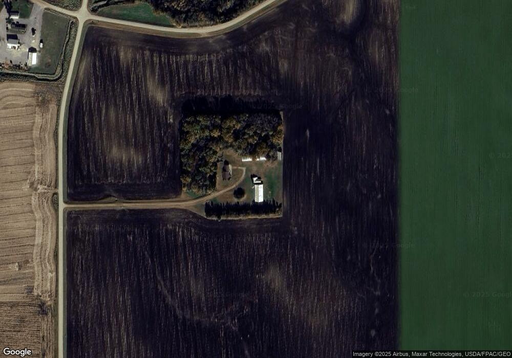
Map
Nearby Homes
- 12893 County Road 7
- XXX US Hwy 212
- xxx Lot 2 Us Hwy 212
- 630 Mowbray St
- xxx Lot 3 Division St W
- 237 5th St N
- 0 Plum Ave Unit NOC6335195
- Lot 2 U S Highway 212
- 0 57th St
- Lot 2 Tagus Ave
- 16452 90th St
- 12221 Page Ave
- 22447 150th St
- 23535 York Rd
- 7900 Lace Ave
- 55249 County Road 38
- 7900 Lace Ave N
- XXX Airport Rd
- 534 NW 2nd St
- 1400 Sherwood St SE
Your Personal Tour Guide
Ask me questions while you tour the home.