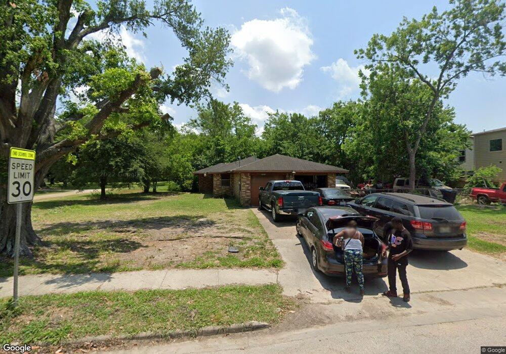
8203 Coffee St Houston, TX 77033
Sunnyside NeighborhoodEstimated Value: $148,000 - $243,000
2
Beds
2
Baths
1,190
Sq Ft
$162/Sq Ft
Est. Value
About This Home
This home is located at 8203 Coffee St, Houston, TX 77033 and is currently estimated at $192,933, approximately $162 per square foot. 8203 Coffee St is a home located in Harris County with nearby schools including Bastian Elementary School, Attucks Middle School, and Worthing High School.
Ownership History
Date
Name
Owned For
Owner Type
Purchase Details
Closed on
Dec 19, 2005
Sold by
White Michael and White Reginald
Bought by
Vaughns Mark E and Vaughns Craig E
Current Estimated Value
Purchase Details
Closed on
Dec 9, 2005
Sold by
White Antonia A
Bought by
White Michael
Purchase Details
Closed on
Nov 2, 2005
Sold by
White Antonia A
Bought by
White Michael
Create a Home Valuation Report for This Property
The Home Valuation Report is an in-depth analysis detailing your home's value as well as a comparison with similar homes in the area
Home Values in the Area
Average Home Value in this Area
Purchase History
| Date | Buyer | Sale Price | Title Company |
|---|---|---|---|
| Vaughns Mark E | -- | First American Title | |
| White Michael | -- | First American Title | |
| White Michael | -- | -- |
Source: Public Records
Tax History Compared to Growth
Tax History
| Year | Tax Paid | Tax Assessment Tax Assessment Total Assessment is a certain percentage of the fair market value that is determined by local assessors to be the total taxable value of land and additions on the property. | Land | Improvement |
|---|---|---|---|---|
| 2025 | $3,267 | $156,162 | $82,500 | $73,662 |
| 2024 | $3,267 | $156,162 | $82,500 | $73,662 |
| 2023 | $3,399 | $168,681 | $82,500 | $86,181 |
| 2022 | $3,068 | $139,341 | $66,000 | $73,341 |
| 2021 | $2,331 | $100,000 | $35,063 | $64,937 |
| 2020 | $2,773 | $114,525 | $35,063 | $79,462 |
| 2019 | $1,999 | $78,982 | $20,625 | $58,357 |
| 2018 | $1,656 | $65,426 | $8,250 | $57,176 |
| 2017 | $1,654 | $65,426 | $8,250 | $57,176 |
| 2016 | $1,403 | $55,472 | $8,250 | $47,222 |
| 2015 | $1,528 | $55,472 | $8,250 | $47,222 |
| 2014 | $1,528 | $59,453 | $8,250 | $51,203 |
Source: Public Records
Map
Nearby Homes
- 8201 Calhoun Rd Unit A/B
- 8107 Calhoun Rd
- 4843 Bricker St
- 5115 Briscoe St Unit A/B
- 4638 Sunflower St Unit 9
- 8533 Amadwe St Unit A/B
- 4741 Bricker St
- 4830 Teton St
- 4930 Teton St
- 4608 White Rock St
- 4614 Redbud St
- 4607 Bricker St
- 4548 Briscoe St
- 8521 Dosia St
- 4911 Edfield St
- 7905 Rock Rose St
- 4813 Angleton St
- 4718 Teton St
- 5007 Edfield St
- 5019 Edfield St
- 0 Coffee St
- 8211 Coffee St
- 0 White Rock Unit 75603444
- 0 White Rock Unit 42643022
- 0 White Rock Unit 25155213
- 4905 Sunflower St
- 4909 Sunflower St
- 8215 Coffee St
- 4913 Sunflower St
- 4840 White Rock St
- 8115 Coffee St
- 4847 Sunflower St
- 4911 Sunflower St
- 5010 Briscoe St
- 4843 White Rock St
- 4836 White Rock St
- 5022 Briscoe St
- 4835 Sunflower St
- 4846 Briscoe St
- 5026 Briscoe St