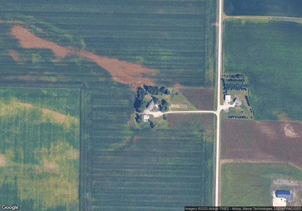
8207 N Pilot Grove Rd Dunkerton, IA 50626
Estimated Value: $320,000 - $595,519
5
Beds
5
Baths
3,414
Sq Ft
$133/Sq Ft
Est. Value
About This Home
This home is located at 8207 N Pilot Grove Rd, Dunkerton, IA 50626 and is currently estimated at $452,380, approximately $132 per square foot. 8207 N Pilot Grove Rd is a home located in Black Hawk County with nearby schools including Dunkerton Elementary School and Dunkerton High School.
Ownership History
Date
Name
Owned For
Owner Type
Purchase Details
Closed on
Dec 14, 2021
Sold by
Marie Kuenstling Deanne
Bought by
D & D Farm Properties Llc
Current Estimated Value
Create a Home Valuation Report for This Property
The Home Valuation Report is an in-depth analysis detailing your home's value as well as a comparison with similar homes in the area
Home Values in the Area
Average Home Value in this Area
Purchase History
| Date | Buyer | Sale Price | Title Company |
|---|---|---|---|
| D & D Farm Properties Llc | $250,000 | None Listed On Document |
Source: Public Records
Tax History Compared to Growth
Tax History
| Year | Tax Paid | Tax Assessment Tax Assessment Total Assessment is a certain percentage of the fair market value that is determined by local assessors to be the total taxable value of land and additions on the property. | Land | Improvement |
|---|---|---|---|---|
| 2025 | $5,755 | $491,350 | $7,990 | $483,360 |
| 2024 | $5,624 | $459,500 | $6,340 | $453,160 |
| 2023 | $5,080 | $461,400 | $6,340 | $455,060 |
| 2022 | $4,996 | $352,390 | $5,110 | $347,280 |
| 2021 | $5,288 | $353,030 | $5,520 | $347,510 |
| 2020 | $5,216 | $352,480 | $5,240 | $347,240 |
| 2019 | $5,216 | $352,480 | $5,240 | $347,240 |
| 2018 | $5,262 | $355,650 | $7,590 | $348,060 |
| 2017 | $5,262 | $355,650 | $7,590 | $348,060 |
| 2016 | $5,044 | $357,650 | $8,490 | $349,160 |
| 2015 | $5,044 | $357,650 | $8,490 | $349,160 |
| 2014 | $5,254 | $360,320 | $9,780 | $350,540 |
Source: Public Records
Map
Nearby Homes
- 5721 E Gresham Rd
- 213 Brookside Dr
- 8919 Hackberry Dr
- 301 W Sycamore St
- 305 W Dunkerton St
- 619 Sal Ave
- 8138 Schenk Rd
- LOT 40 Cloverdale
- 412 E 4th St
- 1827 N Pilot Grove Rd
- 606 W View Dr
- 307 W Ridge St
- 726 Malone Ave
- TBD E Donald St
- 7811 Moline Rd
- 203 & 205 Grove St
- 306 S 4th St
- 106 S 3rd St
- 410 Lakeside Dr
- 203 6th St