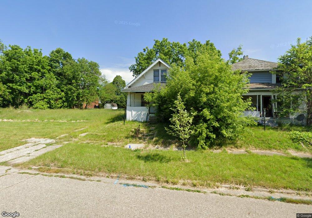
821 Carton St Flint, MI 48505
King Avenue Plus NeighborhoodEstimated Value: $30,000 - $44,000
2
Beds
1
Bath
816
Sq Ft
$45/Sq Ft
Est. Value
About This Home
This home is located at 821 Carton St, Flint, MI 48505 and is currently estimated at $37,000, approximately $45 per square foot. 821 Carton St is a home located in Genesee County with nearby schools including Brownell STEM Academy, Flint Cultural Center Academy, and Greater Heights Academy.
Ownership History
Date
Name
Owned For
Owner Type
Purchase Details
Closed on
Dec 19, 2019
Sold by
Cherry Deborah L
Bought by
Fenesee County Land Bank Authority
Current Estimated Value
Purchase Details
Closed on
Mar 25, 2011
Sold by
Mayfield Stephen D
Bought by
Gaydens Anthony and Gaydens Richell
Purchase Details
Closed on
Nov 11, 2005
Sold by
Guice Robert H
Bought by
Mayfield Stephen D
Purchase Details
Closed on
Nov 7, 2005
Sold by
Guice Robert H and Robert H Guice Trust
Bought by
Guice Robert H
Purchase Details
Closed on
Aug 27, 2001
Sold by
Guice Robert H
Bought by
Mayfield Stephen D
Home Financials for this Owner
Home Financials are based on the most recent Mortgage that was taken out on this home.
Original Mortgage
$11,000
Interest Rate
8.5%
Mortgage Type
Seller Take Back
Create a Home Valuation Report for This Property
The Home Valuation Report is an in-depth analysis detailing your home's value as well as a comparison with similar homes in the area
Home Values in the Area
Average Home Value in this Area
Purchase History
| Date | Buyer | Sale Price | Title Company |
|---|---|---|---|
| Fenesee County Land Bank Authority | -- | None Available | |
| Gaydens Anthony | $8,500 | None Available | |
| Mayfield Stephen D | $12,500 | None Available | |
| Guice Robert H | -- | None Available | |
| Mayfield Stephen D | $12,500 | First American Title Ins Co |
Source: Public Records
Mortgage History
| Date | Status | Borrower | Loan Amount |
|---|---|---|---|
| Previous Owner | Mayfield Stephen D | $11,000 |
Source: Public Records
Tax History Compared to Growth
Tax History
| Year | Tax Paid | Tax Assessment Tax Assessment Total Assessment is a certain percentage of the fair market value that is determined by local assessors to be the total taxable value of land and additions on the property. | Land | Improvement |
|---|---|---|---|---|
| 2025 | -- | $0 | $0 | $0 |
| 2024 | -- | $0 | $0 | $0 |
| 2023 | -- | $0 | $0 | $0 |
| 2022 | $0 | $0 | $0 | $0 |
| 2021 | $0 | $0 | $0 | $0 |
| 2020 | $268 | $0 | $0 | $0 |
| 2019 | $444 | $3,200 | $0 | $0 |
| 2018 | $1,592 | $2,900 | $0 | $0 |
| 2017 | $937 | $0 | $0 | $0 |
| 2016 | $392 | $0 | $0 | $0 |
| 2015 | -- | $0 | $0 | $0 |
| 2014 | -- | $0 | $0 | $0 |
| 2012 | -- | $3,400 | $0 | $0 |
Source: Public Records
Map
Nearby Homes
- 4028 North St
- 638 E Pasadena Ave
- 613 E van Wagoner Ave
- 606 Damon St
- 418 Damon St
- 3810 Marvin St
- 733 Black Ave
- 370 E Moore St
- 313 Edwin Ave
- 3506 Esther St
- 0 E Marengo Ave Unit 50166417
- 218 E Jackson Ave
- 618 E Pulaski Ave
- 680 E Pierson Rd
- 2913 Martin Luther King Ave
- 2913
- 200 W Mcclellan St
- 726 E Parkway Ave
- 1526 Montana Ave
- 1518 Leith St