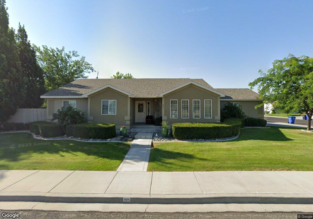
821 N Pointe Dr Twin Falls, ID 83301
Estimated Value: $388,000 - $404,103
3
Beds
2
Baths
1,703
Sq Ft
$232/Sq Ft
Est. Value
About This Home
This home is located at 821 N Pointe Dr, Twin Falls, ID 83301 and is currently estimated at $395,026, approximately $231 per square foot. 821 N Pointe Dr is a home located in Twin Falls County with nearby schools including Rock Creek Elementary School, Robert Stuart Junior High School, and Canyon Ridge High School.
Ownership History
Date
Name
Owned For
Owner Type
Purchase Details
Closed on
Sep 22, 2005
Sold by
Alandar Construction Inc
Bought by
Thomas Sandra A
Current Estimated Value
Home Financials for this Owner
Home Financials are based on the most recent Mortgage that was taken out on this home.
Original Mortgage
$90,000
Outstanding Balance
$48,029
Interest Rate
5.81%
Mortgage Type
New Conventional
Estimated Equity
$346,997
Create a Home Valuation Report for This Property
The Home Valuation Report is an in-depth analysis detailing your home's value as well as a comparison with similar homes in the area
Home Values in the Area
Average Home Value in this Area
Purchase History
| Date | Buyer | Sale Price | Title Company |
|---|---|---|---|
| Thomas Sandra A | -- | -- |
Source: Public Records
Mortgage History
| Date | Status | Borrower | Loan Amount |
|---|---|---|---|
| Open | Thomas Sandra A | $90,000 |
Source: Public Records
Tax History Compared to Growth
Tax History
| Year | Tax Paid | Tax Assessment Tax Assessment Total Assessment is a certain percentage of the fair market value that is determined by local assessors to be the total taxable value of land and additions on the property. | Land | Improvement |
|---|---|---|---|---|
| 2025 | $2,147 | $350,153 | $68,020 | $282,133 |
| 2024 | $2,130 | $350,550 | $68,020 | $282,530 |
| 2023 | $2,010 | $368,206 | $68,020 | $300,186 |
| 2022 | $2,862 | $374,929 | $59,293 | $315,636 |
| 2021 | $2,452 | $287,865 | $54,739 | $233,126 |
| 2020 | $2,141 | $240,337 | $51,148 | $189,189 |
| 2019 | $2,372 | $232,788 | $51,148 | $181,640 |
| 2018 | $2,275 | $221,492 | $32,103 | $189,389 |
| 2017 | $1,945 | $203,757 | $32,103 | $171,654 |
| 2016 | $1,758 | $175,376 | $0 | $0 |
| 2015 | $1,710 | $175,376 | $32,103 | $143,273 |
| 2012 | -- | $158,815 | $0 | $0 |
Source: Public Records
Map
Nearby Homes
- 831 Grace Dr W
- 805 Drayton Ave
- 1378 Misty Meadows Ct
- 1143 Langford Way
- 1605 Grandview Dr N
- 612 Northern Pine Ct
- 1085 Easy Ave
- 1087 Easy Ave
- 551 Park Meadows Cir
- 1422 Tara St
- 1434 Tara St
- 916 Kenbrook Loop
- 905 Birchton Loop
- 1234 Parkview Dr
- 946 Kenbrook Loop
- 1139 Frank Henry Rd
- 973 Kenbrook Loop
- 941 Birchton Loop
- 462 Parkway Cir
- 957 Birchton Loop
- 1388 Cody Ct
- 1393 Bradley St
- 1374 Cody Ct
- 818 N Pointe Dr
- 830 N Pointe Dr
- 1395 Cody Ct
- 1395 Cody Ct Unit North Pointe Subdivi
- 1405 Bradley St
- 1373 Bradley St
- 1389 Cody Ct
- 842 N Pointe Dr
- 1362 Cody Ct
- 1375 Cody Ct
- 819 Grace Dr W
- 1361 Bradley St
- 854 N Pointe Dr
- 1419 Bradley St
- 1363 Cody Ct
- 789 N Pointe Dr
- 823 Grace Dr W