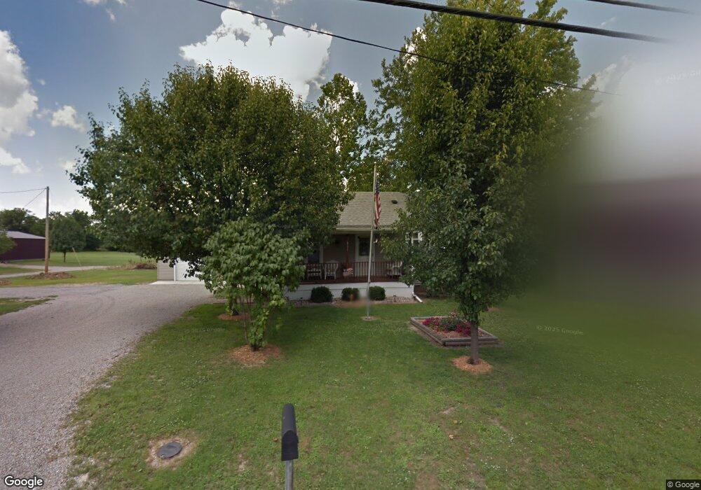
821 W Polk Ave Charleston, IL 61920
Estimated Value: $118,989 - $134,000
2
Beds
1
Bath
952
Sq Ft
$130/Sq Ft
Est. Value
About This Home
This home is located at 821 W Polk Ave, Charleston, IL 61920 and is currently estimated at $123,497, approximately $129 per square foot. 821 W Polk Ave is a home located in Coles County with nearby schools including Charleston High School, Charleston Christian Academy, and Charleston Christian Academy High School.
Ownership History
Date
Name
Owned For
Owner Type
Purchase Details
Closed on
Dec 22, 2021
Sold by
Tucker Jackie L
Bought by
Fleener Colton L and Shaffer Sierra B
Current Estimated Value
Home Financials for this Owner
Home Financials are based on the most recent Mortgage that was taken out on this home.
Original Mortgage
$53,350
Outstanding Balance
$41,663
Interest Rate
2.27%
Mortgage Type
New Conventional
Estimated Equity
$81,834
Create a Home Valuation Report for This Property
The Home Valuation Report is an in-depth analysis detailing your home's value as well as a comparison with similar homes in the area
Home Values in the Area
Average Home Value in this Area
Purchase History
| Date | Buyer | Sale Price | Title Company |
|---|---|---|---|
| Fleener Colton L | $55,000 | Petty Andrew L |
Source: Public Records
Mortgage History
| Date | Status | Borrower | Loan Amount |
|---|---|---|---|
| Open | Fleener Colton L | $53,350 |
Source: Public Records
Tax History Compared to Growth
Tax History
| Year | Tax Paid | Tax Assessment Tax Assessment Total Assessment is a certain percentage of the fair market value that is determined by local assessors to be the total taxable value of land and additions on the property. | Land | Improvement |
|---|---|---|---|---|
| 2024 | $2,879 | $37,095 | $8,864 | $28,231 |
| 2023 | $2,835 | $33,877 | $8,095 | $25,782 |
| 2022 | $2,841 | $33,317 | $7,961 | $25,356 |
| 2021 | $2,926 | $31,974 | $7,640 | $24,334 |
| 2020 | $1,704 | $33,128 | $6,742 | $26,386 |
| 2019 | $559 | $25,015 | $6,507 | $18,508 |
| 2018 | $1,701 | $25,015 | $6,507 | $18,508 |
| 2017 | $1,701 | $25,015 | $6,507 | $18,508 |
| 2016 | $2,291 | $25,837 | $6,507 | $19,330 |
| 2015 | $1,434 | $25,837 | $6,507 | $19,330 |
| 2014 | $1,434 | $25,837 | $6,507 | $19,330 |
| 2013 | $1,434 | $25,837 | $6,507 | $19,330 |
Source: Public Records
Map
Nearby Homes
- 921 Reynolds Dr
- 929 Reynolds Dr
- 0 Timberlake Lot 17 Estates
- 711 Kenton Dr
- 942 E St
- 926 Westgate Dr
- 911 W Hayes Ave
- W Hayes Ave Lot Unit WP001
- 926 Division St
- 9 Orchard Dr
- 1528 Division St
- 934 2nd St
- 124 Polk Ave
- 1035 Woodberry Ln
- 943 2nd St
- 1071 Woodberry Ln
- 409 3rd St
- 1011 6th St
- 1103 & 1105 6th St
- 6 Brosam Dr
- 823 W Polk Ave
- 827 W Polk Ave
- 829 W Polk Ave
- 817 W Polk Ave
- 878 W Polk Ave
- 1001 Douglas St
- 903 W Polk Ave
- 872 W Polk Ave
- 1000 Douglas St
- 809 W Polk Ave
- 810 W Polk Ave
- 818 W Polk Ave
- 1007 Douglas St
- 1017 Douglas St
- 804 W Polk Ave
- 1000 Davis St
- 1012 Douglas St
- 721 W Polk Ave
- 919 W Polk Ave
- 811 Westchester Place