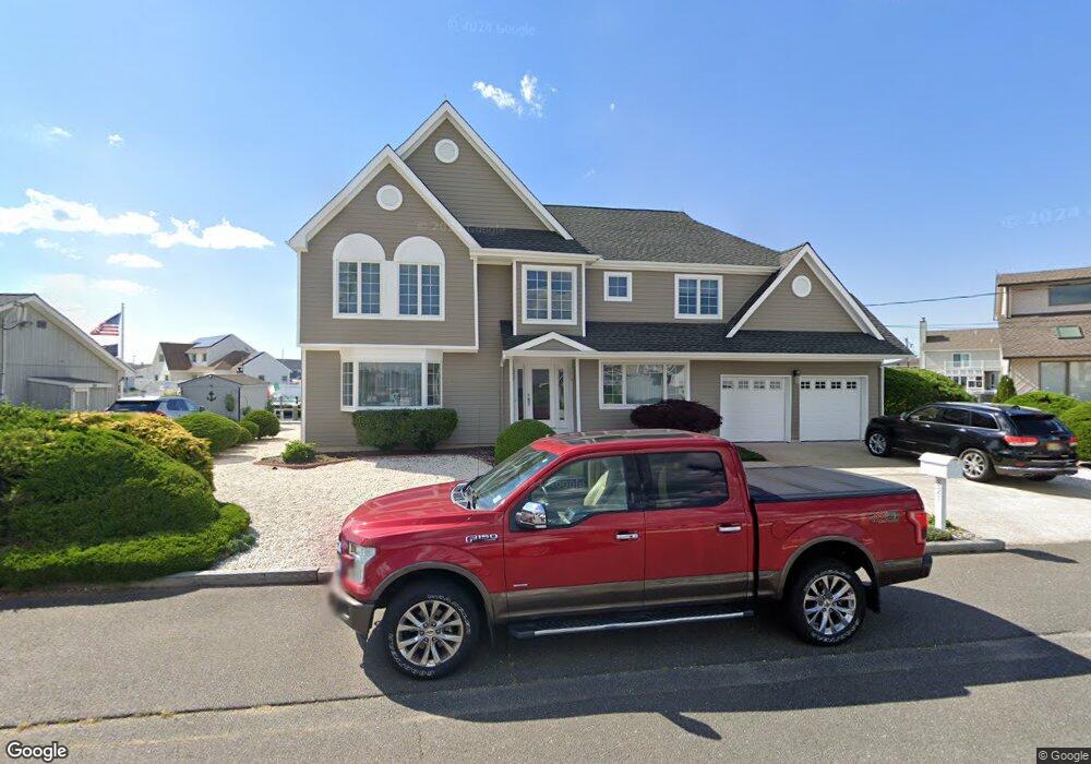
821 Wave Dr Forked River, NJ 08731
Estimated Value: $1,051,000 - $1,204,000
4
Beds
3
Baths
3,024
Sq Ft
$373/Sq Ft
Est. Value
About This Home
This home is located at 821 Wave Dr, Forked River, NJ 08731 and is currently estimated at $1,129,164, approximately $373 per square foot. 821 Wave Dr is a home located in Ocean County with nearby schools including Lacey Township High School.
Ownership History
Date
Name
Owned For
Owner Type
Purchase Details
Closed on
May 16, 2024
Sold by
Devaney Paul E
Bought by
Melanie L Henderson Trust
Current Estimated Value
Purchase Details
Closed on
Jul 31, 2003
Sold by
Egolf Mary
Bought by
Devaney Paul and Devaney Cynthia
Home Financials for this Owner
Home Financials are based on the most recent Mortgage that was taken out on this home.
Original Mortgage
$176,250
Interest Rate
5.28%
Mortgage Type
Purchase Money Mortgage
Purchase Details
Closed on
Sep 2, 1999
Sold by
Egolf Raymond H and Egolf Mary A
Bought by
Egolf Mary A
Create a Home Valuation Report for This Property
The Home Valuation Report is an in-depth analysis detailing your home's value as well as a comparison with similar homes in the area
Home Values in the Area
Average Home Value in this Area
Purchase History
| Date | Buyer | Sale Price | Title Company |
|---|---|---|---|
| Melanie L Henderson Trust | $1,100,000 | Trident Abstract Title | |
| Melanie L Henderson Trust | $1,100,000 | Trident Abstract Title | |
| Devaney Paul | $475,000 | -- | |
| Egolf Mary A | -- | -- |
Source: Public Records
Mortgage History
| Date | Status | Borrower | Loan Amount |
|---|---|---|---|
| Previous Owner | Devaney Paul | $176,250 |
Source: Public Records
Tax History
| Year | Tax Paid | Tax Assessment Tax Assessment Total Assessment is a certain percentage of the fair market value that is determined by local assessors to be the total taxable value of land and additions on the property. | Land | Improvement |
|---|---|---|---|---|
| 2025 | $15,255 | $602,000 | $291,700 | $310,300 |
| 2024 | $14,261 | $602,000 | $291,700 | $310,300 |
Source: Public Records
Map
Nearby Homes
- 1025 Capstan Dr
- 814 Ensign Dr
- 986 Capstan Dr
- 0 Windward Dr Unit NJOC2039288
- 0 Windward Dr Unit 22601526
- 915 Shenandoah Dr
- 715 Richmond Dr
- 709 Richmond Dr
- 510 Conifer Dr
- 0 Union Ct Unit 22605987
- 330 Riviera Dr
- 1029 Bowsprit Point
- 606 Bowsprit Point
- 802 E Hickory Dr
- 207 Sunset Dr
- 1407 Hilo Bay Dr
- 826 Hazelton Ave
- 710 Hazelton Ave
- 1600 Beach Blvd
- 502 Teakwood Dr
Your Personal Tour Guide
Ask me questions while you tour the home.