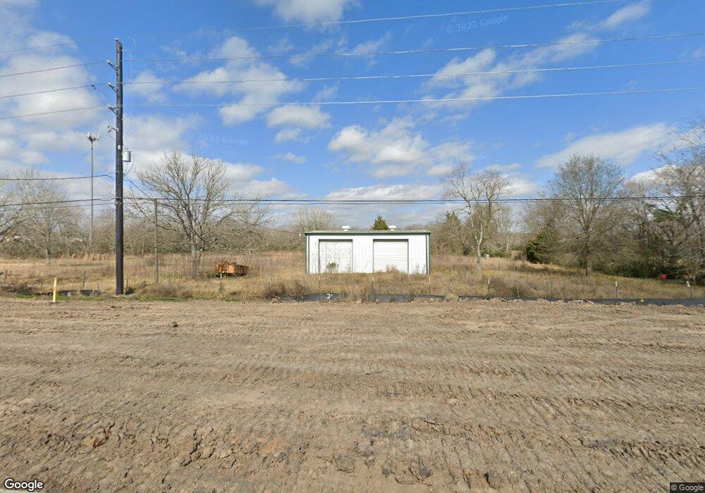
8211 Mchard Rd Unit 106 Pearland, TX 77581
Estimated Value: $568,000
--
Bed
--
Bath
888
Sq Ft
$640/Sq Ft
Est. Value
About This Home
This home is located at 8211 Mchard Rd Unit 106, Pearland, TX 77581 and is currently estimated at $568,000, approximately $639 per square foot. 8211 Mchard Rd Unit 106 is a home located in Brazoria County with nearby schools including E A Lawhon Elementary School, Leon H. Sablatura Middle School, and Pearland Junior High School West.
Ownership History
Date
Name
Owned For
Owner Type
Purchase Details
Closed on
Oct 21, 2013
Sold by
Johnston Gerald Bruce
Bought by
Piping Rock Lp
Current Estimated Value
Home Financials for this Owner
Home Financials are based on the most recent Mortgage that was taken out on this home.
Original Mortgage
$335,000
Interest Rate
4.61%
Mortgage Type
New Conventional
Create a Home Valuation Report for This Property
The Home Valuation Report is an in-depth analysis detailing your home's value as well as a comparison with similar homes in the area
Home Values in the Area
Average Home Value in this Area
Purchase History
| Date | Buyer | Sale Price | Title Company |
|---|---|---|---|
| Piping Rock Lp | -- | Startex Title Company |
Source: Public Records
Mortgage History
| Date | Status | Borrower | Loan Amount |
|---|---|---|---|
| Closed | Piping Rock Lp | $335,000 |
Source: Public Records
Tax History Compared to Growth
Tax History
| Year | Tax Paid | Tax Assessment Tax Assessment Total Assessment is a certain percentage of the fair market value that is determined by local assessors to be the total taxable value of land and additions on the property. | Land | Improvement |
|---|---|---|---|---|
| 2025 | $9,064 | $472,445 | $462,965 | $9,480 |
| 2023 | $9,064 | $489,882 | $479,266 | $10,616 |
| 2022 | $8,108 | $337,060 | $330,090 | $6,970 |
| 2021 | $8,689 | $337,240 | $330,090 | $7,150 |
| 2020 | $9,098 | $337,200 | $330,090 | $7,110 |
| 2019 | $9,650 | $357,590 | $351,180 | $6,410 |
| 2018 | $9,791 | $364,410 | $358,990 | $5,420 |
| 2017 | $10,205 | $377,920 | $370,690 | $7,230 |
| 2016 | $10,205 | $377,920 | $370,690 | $7,230 |
| 2015 | $10,579 | $377,950 | $370,690 | $7,260 |
| 2014 | $10,579 | $380,240 | $370,690 | $9,550 |
Source: Public Records
Map
Nearby Homes
- 8210 Mchard Rd Unit 106
- 8033 Mchard Rd Unit 106
- 8002 Seddon Rd
- 1745 Stone Rd
- 8518 Hawk Rd Unit 66
- 2123 Lee Rd
- 7737 Brookside Rd
- 14939 Cullen Blvd
- 2008 Granite Pass Dr
- 8909 Hawk Rd
- 00 Max Rd
- 8917 Hawk Rd
- 7825 Hughes Ranch Rd
- 5127 Brookside Rd
- 3733 Soho Dr
- 4134 Almond Lake Dr
- 1306 Kingfisher Ct S
- 1820 Hillhouse Rd
- 1027 E Hampton Dr
- 723 Redwood Bend Ln
- 8133 Brookside Road County Road 106
- 8133 County Road 106
- 8210 Mchard Rd
- 8133 Brookside Cr 106 Rd
- 8301 Brookside Rd
- 8133 Mchard Rd
- 8126 Brookside Rd
- 8034 Mchard Rd
- 8106 Mchard Rd Unit 106
- 1738 Adamo Ln
- 8402 Mchard Rd
- 8018 Brookside Rd
- 8018 E Brookside Rd
- 8013 Brookside Rd
- 1750 Adamo Ln
- 8026 Mchard Rd
- 8001 Mchard Rd
- 8001 Brookside Rd
- 7938 Mchard Rd
- 1555 Cullen Blvd