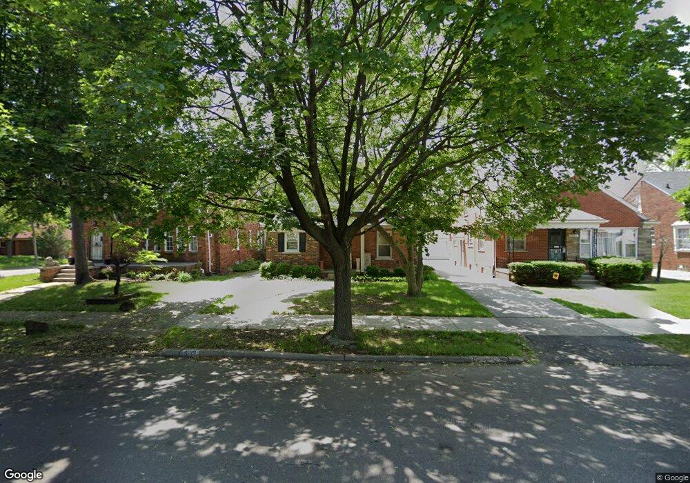
8213 Ward St Unit Bldg-Unit Detroit, MI 48228
Aviation NeighborhoodEstimated Value: $95,000 - $136,000
--
Bed
2
Baths
1,523
Sq Ft
$79/Sq Ft
Est. Value
About This Home
This home is located at 8213 Ward St Unit Bldg-Unit, Detroit, MI 48228 and is currently estimated at $119,577, approximately $78 per square foot. 8213 Ward St Unit Bldg-Unit is a home located in Wayne County with nearby schools including Barton Elementary School, Charles L. Spain Elementary-Middle School, and Edward 'Duke' Ellington Conservatory of Music and Art.
Ownership History
Date
Name
Owned For
Owner Type
Purchase Details
Closed on
Jul 10, 2020
Sold by
Alsadly Suha Salem
Bought by
Abdul Abbar Hassanin and Al Barquawee Hawraa
Current Estimated Value
Purchase Details
Closed on
Jan 8, 2018
Sold by
Bank Of America
Bought by
Alsaidy Suha Salem
Purchase Details
Closed on
May 11, 2017
Sold by
Whitney Owie and Whitney Helen
Bought by
Bank Of America Na and Lasalle Bank Midwest Na
Create a Home Valuation Report for This Property
The Home Valuation Report is an in-depth analysis detailing your home's value as well as a comparison with similar homes in the area
Home Values in the Area
Average Home Value in this Area
Purchase History
| Date | Buyer | Sale Price | Title Company |
|---|---|---|---|
| Abdul Abbar Hassanin | $30,000 | None Available | |
| Alsaidy Suha Salem | $40,000 | None Available | |
| Bank Of America Na | $18,132 | None Available |
Source: Public Records
Tax History Compared to Growth
Tax History
| Year | Tax Paid | Tax Assessment Tax Assessment Total Assessment is a certain percentage of the fair market value that is determined by local assessors to be the total taxable value of land and additions on the property. | Land | Improvement |
|---|---|---|---|---|
| 2025 | $2,085 | $56,600 | $0 | $0 |
| 2024 | $2,085 | $47,700 | $0 | $0 |
| 2023 | $1,627 | $37,300 | $0 | $0 |
| 2022 | $2,172 | $30,100 | $0 | $0 |
| 2021 | $2,108 | $22,500 | $0 | $0 |
| 2020 | $2,107 | $21,100 | $0 | $0 |
| 2019 | $1,551 | $15,800 | $0 | $0 |
| 2018 | $1,134 | $15,200 | $0 | $0 |
| 2017 | $288 | $15,200 | $0 | $0 |
| 2016 | $1,344 | $18,400 | $0 | $0 |
| 2015 | $1,840 | $18,400 | $0 | $0 |
| 2013 | $2,702 | $27,017 | $0 | $0 |
| 2010 | -- | $37,499 | $1,179 | $36,320 |
Source: Public Records
Map
Nearby Homes
- 8285 Cheyenne St
- 13145 Mackenzie St
- 8537 Cheyenne St
- 12950 Mackenzie St
- 8207 Schaefer Hwy
- 8155 Appoline St
- 7927 Bingham St
- 12953 Tireman Ave
- 8229 Carlin St
- 7870 Oakman Blvd
- 7750 Morross Ct
- 5919 Oakman Blvd
- 7857 Esper Blvd
- 7813 Neckel St
- 7741 Miller Rd
- 8919 Steel St
- 7656 Neckel St
- 7658 Appoline St
- 8833 Manor St
- 7514 Calhoun St