82165 Anthony Rd Folsom, LA 70437
Estimated Value: $261,000 - $296,000
3
Beds
2
Baths
1,461
Sq Ft
$190/Sq Ft
Est. Value
About This Home
This home is located at 82165 Anthony Rd, Folsom, LA 70437 and is currently estimated at $277,038, approximately $189 per square foot. 82165 Anthony Rd is a home located in St. Tammany Parish with nearby schools including Folsom Elementary School, Folsom Junior High School, and Covington High School.
Ownership History
Date
Name
Owned For
Owner Type
Purchase Details
Closed on
Aug 4, 2020
Sold by
St Pierre Dianne D
Bought by
Vitale Lindsay M and Vitale Joseph A
Current Estimated Value
Purchase Details
Closed on
Sep 2, 2010
Sold by
Ruiz Najt Hilda Rita and Najt Sharpe Susan May
Bought by
Vitale Lindsay Bovee and Vitale Joseph Anthony
Home Financials for this Owner
Home Financials are based on the most recent Mortgage that was taken out on this home.
Original Mortgage
$163,440
Interest Rate
4.51%
Mortgage Type
VA
Create a Home Valuation Report for This Property
The Home Valuation Report is an in-depth analysis detailing your home's value as well as a comparison with similar homes in the area
Home Values in the Area
Average Home Value in this Area
Purchase History
| Date | Buyer | Sale Price | Title Company |
|---|---|---|---|
| Vitale Lindsay M | $50,000 | None Available | |
| Vitale Lindsay Bovee | $160,000 | None Available |
Source: Public Records
Mortgage History
| Date | Status | Borrower | Loan Amount |
|---|---|---|---|
| Previous Owner | Vitale Lindsay Bovee | $163,440 |
Source: Public Records
Tax History
| Year | Tax Paid | Tax Assessment Tax Assessment Total Assessment is a certain percentage of the fair market value that is determined by local assessors to be the total taxable value of land and additions on the property. | Land | Improvement |
|---|---|---|---|---|
| 2025 | $760 | $13,628 | $1,628 | $12,000 |
| 2024 | $760 | $13,628 | $1,628 | $12,000 |
| 2023 | $787 | $12,028 | $2,127 | $9,901 |
| 2022 | $63,157 | $12,028 | $2,127 | $9,901 |
| 2021 | $630 | $12,028 | $2,127 | $9,901 |
| 2020 | $632 | $12,028 | $2,127 | $9,901 |
| 2019 | $1,520 | $10,599 | $645 | $9,954 |
| 2018 | $1,522 | $10,081 | $127 | $9,954 |
| 2017 | $1,550 | $10,081 | $127 | $9,954 |
| 2016 | $1,556 | $10,081 | $127 | $9,954 |
| 2015 | $409 | $9,741 | $124 | $9,617 |
| 2014 | $406 | $9,741 | $124 | $9,617 |
| 2013 | -- | $9,741 | $124 | $9,617 |
Source: Public Records
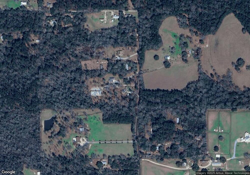
Map
Nearby Homes
- 180 Keeneland Place Loop
- 187 Keeneland Place Loop
- 168 Keeneland Place Loop
- 82260 Training Center Rd
- 12410 Quaglino Rd
- 12382 Quaglino Rd
- 11542 Browns Rd
- 76083 Robinson Rd
- 0 Lee Settlement Rd
- 10480 Lee Settlement Rd
- 10398 Lee Settlement Rd
- 0 Morgan Branch Ln
- 79789 N Willie Rd
- 0 Richardson Hill Rd Unit LotWP001 21141543
- 12411 Hay Hollow Rd
- 209 Marle Loop
- 0 Louisiana 40
- 80262 N Willie Rd
- 82195 Anthony Rd
- 82197 Anthony Rd
- 82241 Anthony Rd
- 82080 Anthony Rd
- 11206 Cotton Ln
- 11196 Cotton Ln
- 11324 Anglin Rd
- 15 Anthony Rd
- 1 Anthony Rd
- 13 Anthony Rd
- 82229 Anthony Rd
- 0 Anthony Rd
- 3.52+/- Anthony Rd
- 81480 Anthony Rd
- 11148 Cotton Ln
- 11207 Cotton Ln
- 0 Cotton Ln
- 82309 Anthony Rd
- 11117 Saint John Church Rd
- 11155 Cotton Ln
Your Personal Tour Guide
Ask me questions while you tour the home.