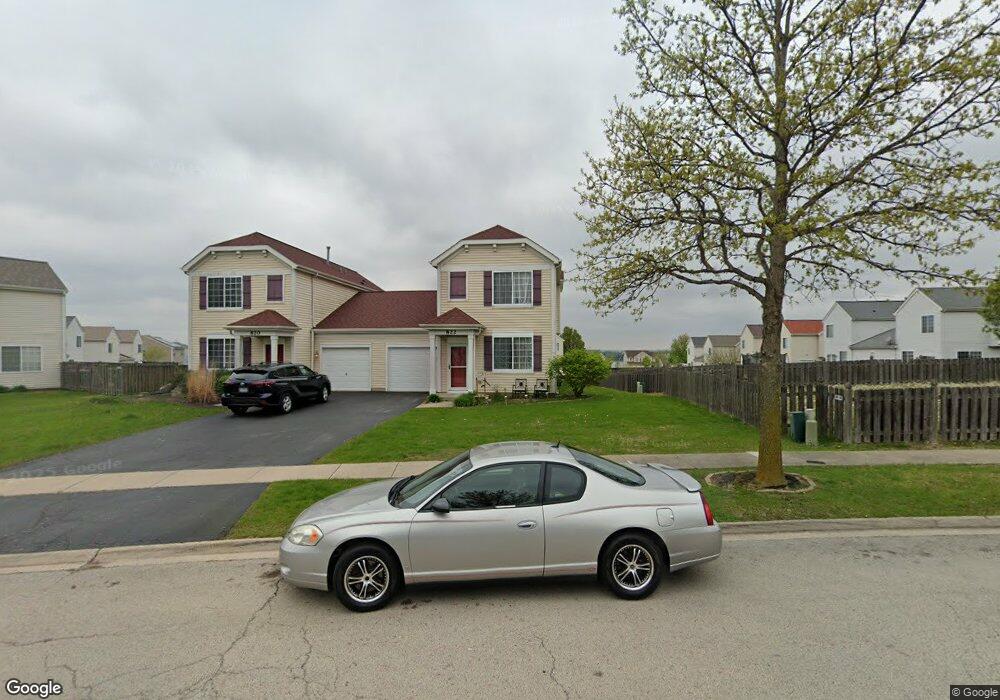
822 Daniel Dr Unit 1 Minooka, IL 60447
North Minooka NeighborhoodEstimated Value: $267,000 - $297,000
About This Home
This home is located at 822 Daniel Dr Unit 1, Minooka, IL 60447 and is currently estimated at $279,966, approximately $171 per square foot. 822 Daniel Dr Unit 1 is a home located in Kendall County with nearby schools including Jones Elementary School, Minooka Junior High School, and Minooka Intermediate School.
Ownership History
We collect this data history from publicly available records. To have your information removed, we recommend requesting removal directly through your county’s website.
Purchase Details
Home Financials for this Owner
Home Financials are based on the most recent Mortgage that was taken out on this home.Home Values in the Area
Average Home Value in this Area
Purchase History
We collect this data history from publicly available records. To have your information removed, we recommend requesting removal directly through your county’s website.
| Date | Buyer | Sale Price | Title Company |
|---|---|---|---|
| $177,000 | North American Title Co |
Mortgage History
We collect this data history from publicly available records. To have your information removed, we recommend requesting removal directly through your county’s website.
| Date | Status | Borrower | Loan Amount |
|---|---|---|---|
| Open | $176,950 |
Tax History
We collect this data history from publicly available records. To have your information removed, we recommend requesting removal directly through your county’s website.
| Year | Tax Paid | Tax Assessment Tax Assessment Total Assessment is a certain percentage of the fair market value that is determined by local assessors to be the total taxable value of land and additions on the property. | Land | Improvement |
|---|---|---|---|---|
| 2025 | $5,933 | $83,619 | $12,001 | $71,618 |
| 2024 | $5,933 | $77,356 | $11,506 | $65,850 |
| 2023 | $4,585 | $67,739 | $7,481 | $60,258 |
| 2022 | $4,585 | $59,931 | $6,927 | $53,004 |
| 2021 | $4,436 | $56,705 | $7,032 | $49,673 |
| 2020 | $4,493 | $55,336 | $6,862 | $48,474 |
| 2019 | $4,063 | $49,422 | $6,862 | $42,560 |
| 2018 | $3,712 | $46,903 | $6,512 | $40,391 |
| 2017 | $3,563 | $42,766 | $6,512 | $36,254 |
| 2016 | $3,286 | $39,629 | $6,432 | $33,197 |
| 2015 | $2,975 | $36,190 | $6,105 | $30,085 |
| 2014 | -- | $37,583 | $6,105 | $31,478 |
| 2013 | -- | $37,583 | $6,105 | $31,478 |
Map
- 905 Avalon Way
- 736 Briarcliff Dr
- 704 Camden Dr
- 194 acres W Holt Rd
- 4500 Bell Rd
- 2041 Isabella Ln
- Lot 1 Minooka Ridge & Jones Rd
- LOT 1 Bob Blair Rd
- 300 Arrowhead Dr
- 307 Illini Dr
- 208 N Wabena Ave
- 405 W Mondamin St
- 103 E Saint Marys St
- 2037 Isabella Ln
- 6010-6060 E Minooka Rd
- 211 Indian Oaks Dr
- 20936 S Auburn Dr
- 20950 S Auburn Dr
- 20931 S Auburn Dr
- 25801 W Denning St
- 822 Daniel Dr
- 820 Daniel Dr
- 840 Daniel Dr
- 816 Daniel Dr
- 842 Daniel Dr
- 846 Daniel Dr
- 1602 Kettleson Dr
- 1602 Kettleson Dr Unit 1
- 1604 Kettleson Dr
- 1604 Kettleson Dr Unit 1
- 1600 Kettleson Dr
- 1606 Kettleson Dr
- 806 Daniel Dr
- 848 Daniel Dr
- 804 Daniel Dr Unit 2A
- 850 Daniel Dr
- 850 Daniel Dr Unit 1
- 825 Daniel Dr
- 802 Daniel Dr
- 827 Daniel Dr
Ask me questions while you tour the home.