822 W Golden Isles Hwy Mc Rae Helena, GA 31037
Estimated Value: $246,000 - $421,127
3
Beds
2
Baths
1,558
Sq Ft
$212/Sq Ft
Est. Value
About This Home
This home is located at 822 W Golden Isles Hwy, Mc Rae Helena, GA 31037 and is currently estimated at $331,042, approximately $212 per square foot. 822 W Golden Isles Hwy is a home with nearby schools including Telfair County Elementary School, Telfair County Middle School, and Telfair County High School.
Ownership History
Date
Name
Owned For
Owner Type
Purchase Details
Closed on
Nov 1, 2012
Sold by
Rich Richard C
Bought by
Rich Fam Properties Lllp
Current Estimated Value
Purchase Details
Closed on
Oct 1, 2012
Sold by
Rich Brenda P
Bought by
Rich Richard C
Purchase Details
Closed on
Jul 19, 1994
Bought by
Rich Richard and Rich Brend
Purchase Details
Closed on
Mar 15, 1994
Bought by
Citizens Bank & Trus
Create a Home Valuation Report for This Property
The Home Valuation Report is an in-depth analysis detailing your home's value as well as a comparison with similar homes in the area
Home Values in the Area
Average Home Value in this Area
Purchase History
| Date | Buyer | Sale Price | Title Company |
|---|---|---|---|
| Rich Fam Properties Lllp | -- | -- | |
| Rich Richard C | -- | -- | |
| Rich Richard | $10,500 | -- | |
| Citizens Bank & Trus | $119,500 | -- |
Source: Public Records
Tax History Compared to Growth
Tax History
| Year | Tax Paid | Tax Assessment Tax Assessment Total Assessment is a certain percentage of the fair market value that is determined by local assessors to be the total taxable value of land and additions on the property. | Land | Improvement |
|---|---|---|---|---|
| 2024 | $2,125 | $120,234 | $73,986 | $46,248 |
| 2023 | $3,488 | $117,168 | $72,632 | $44,536 |
| 2022 | $3,123 | $123,408 | $72,632 | $50,776 |
| 2021 | $1,860 | $107,125 | $70,457 | $36,668 |
| 2020 | $1,746 | $103,113 | $70,457 | $32,656 |
| 2019 | $1,727 | $102,941 | $70,457 | $32,484 |
| 2018 | $3,312 | $102,941 | $70,457 | $32,484 |
| 2017 | $1,775 | $133,077 | $97,413 | $35,664 |
| 2016 | $1,775 | $130,725 | $95,060 | $35,664 |
| 2015 | -- | $130,725 | $95,060 | $35,664 |
| 2014 | -- | $109,370 | $74,034 | $35,336 |
| 2013 | -- | $109,370 | $74,034 | $35,335 |
Source: Public Records
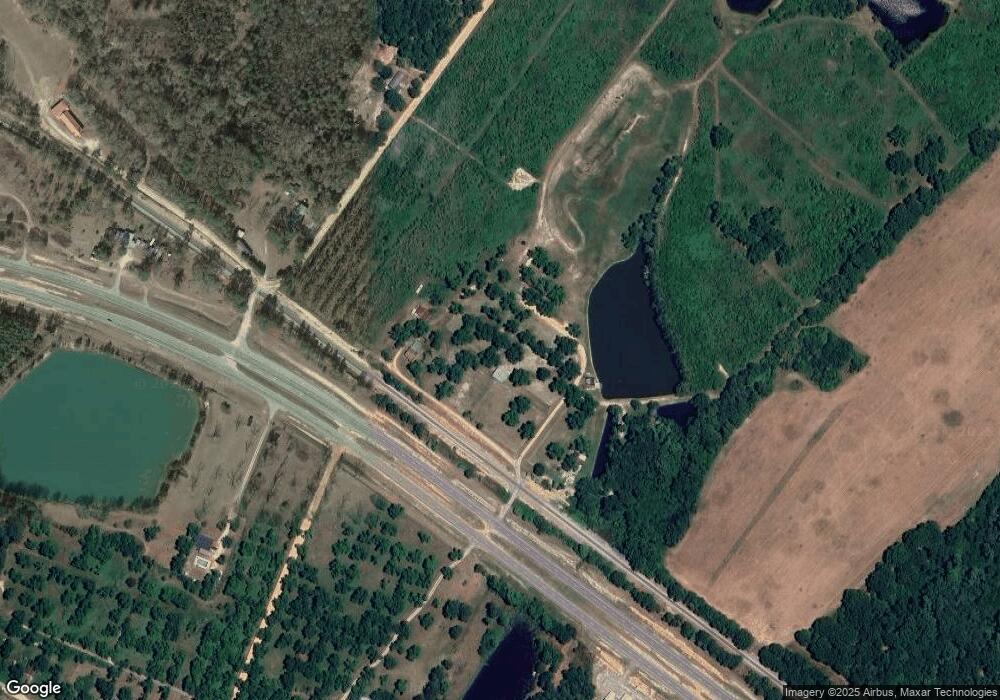
Map
Nearby Homes
- 77 Muscadine Dr
- 11 Stover White Dr
- 0 Concord Dr Unit 10542376
- 0 U S 23
- 6689 Mcrae Hwy
- Lot 126 Pansy Ln
- 0 Jackson Ave Unit 10548102
- 17 2nd St
- 210 W Graham St
- 15 Ben Ave
- 0 Center Ave
- 0 Ll350 & 398 7th District Unit 30490
- 427 3rd Ave
- 3822 New Bethel Church Rd
- 78 S Second Ave
- 47 S First Ave
- 125 Fifth Ave
- 141 S First Ave
- 76 E Grant St
- 27 E Bruce St
- 876 W Golden Isles Hwy
- 462 Whatley Farm Rd
- 855 W Golden Isles Hwy
- 880 W Golden Isles Hwy
- 43 Shady Lane Rd
- 0 Whatley Farm Rd Unit 9857
- 0 Whatley Farm Rd Unit 9858
- 0 Whatley Farm Rd Unit 9859
- 0 Whatley Farm Rd Unit 9856
- 0 Whatley Farm Rd Unit 10257
- 797 W Golden Isles Hwy
- 15 Stuart Dr
- 29 Stuart Dr
- 36 Stuart Dr
- 791 W Golden Isles Hwy
- 791 W Golden Isles Hwy
- 404 Whatley Farm Rd
- 396 Whatley Farm Rd
- 39 Pecan Cir
- 22 Pecan Cir