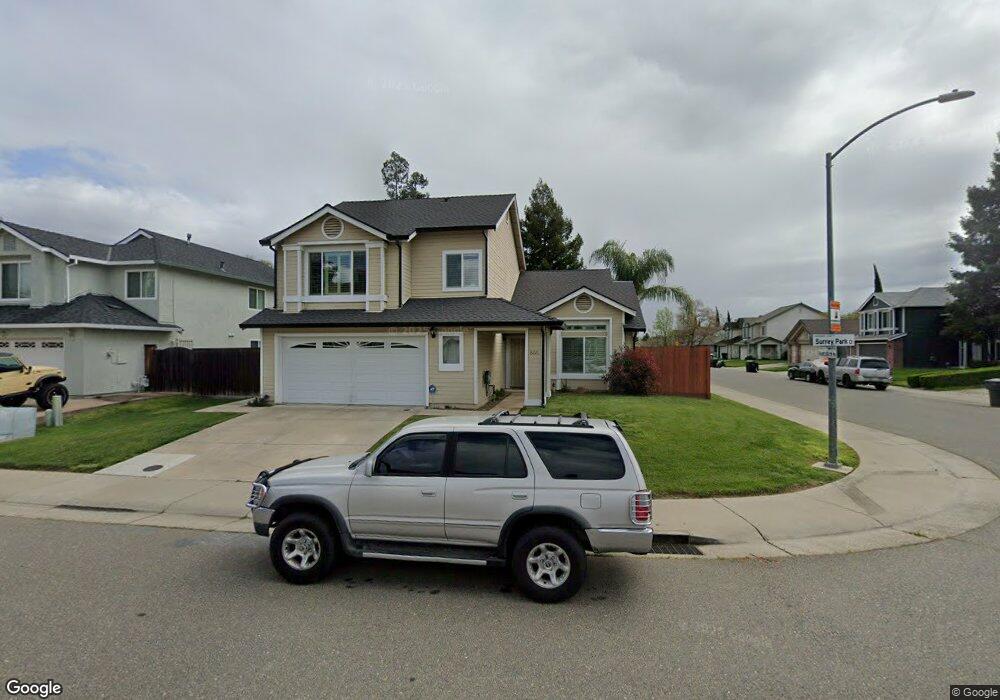
8221 Surrey Park Ct Sacramento, CA 95828
Estimated Value: $370,000 - $591,000
4
Beds
3
Baths
1,956
Sq Ft
$267/Sq Ft
Est. Value
About This Home
This home is located at 8221 Surrey Park Ct, Sacramento, CA 95828 and is currently estimated at $521,536, approximately $266 per square foot. 8221 Surrey Park Ct is a home located in Sacramento County with nearby schools including Mary Tsukamoto Elementary School, T. R. Smedberg Middle School, and Sheldon High School.
Ownership History
Date
Name
Owned For
Owner Type
Purchase Details
Closed on
Apr 30, 2021
Sold by
Barbero Fred S
Bought by
Barbero Juliet M
Current Estimated Value
Home Financials for this Owner
Home Financials are based on the most recent Mortgage that was taken out on this home.
Original Mortgage
$376,800
Interest Rate
3.1%
Mortgage Type
New Conventional
Purchase Details
Closed on
Sep 22, 1997
Sold by
Felix Barbero Fred and Fines Juliet M
Bought by
Barbero Fred S and Barbero Juliet M
Create a Home Valuation Report for This Property
The Home Valuation Report is an in-depth analysis detailing your home's value as well as a comparison with similar homes in the area
Home Values in the Area
Average Home Value in this Area
Purchase History
| Date | Buyer | Sale Price | Title Company |
|---|---|---|---|
| Barbero Juliet M | -- | Placer Title Company | |
| Barbero Fred S | -- | Stewart Title |
Source: Public Records
Mortgage History
| Date | Status | Borrower | Loan Amount |
|---|---|---|---|
| Previous Owner | Barbero Juliet M | $376,800 |
Source: Public Records
Tax History Compared to Growth
Tax History
| Year | Tax Paid | Tax Assessment Tax Assessment Total Assessment is a certain percentage of the fair market value that is determined by local assessors to be the total taxable value of land and additions on the property. | Land | Improvement |
|---|---|---|---|---|
| 2025 | $3,628 | $331,623 | $76,470 | $255,153 |
| 2024 | $3,628 | $325,121 | $74,971 | $250,150 |
| 2023 | $3,538 | $318,747 | $73,501 | $245,246 |
| 2022 | $3,478 | $312,498 | $72,060 | $240,438 |
| 2021 | $3,440 | $306,372 | $70,648 | $235,724 |
| 2020 | $3,394 | $303,231 | $69,924 | $233,307 |
| 2019 | $3,333 | $297,286 | $68,553 | $228,733 |
| 2018 | $3,245 | $291,458 | $67,209 | $224,249 |
| 2017 | $3,189 | $285,744 | $65,892 | $219,852 |
| 2016 | $3,032 | $280,142 | $64,600 | $215,542 |
| 2015 | $2,975 | $275,935 | $63,630 | $212,305 |
| 2014 | $2,927 | $270,531 | $62,384 | $208,147 |
Source: Public Records
Map
Nearby Homes
- 8247 Derbyshire Cir
- 8170 Derbyshire Cir
- 8772 Crusheen Way
- 8831 Liscarney Way
- 8902 Cobble Crest Dr
- 8906 Cobble Crest Dr
- 8916 Hollowstone Way
- 8269 Red Rock Dr
- 8034 Kelty Ct
- 8159 Morgan Hill Way
- 8216 Exbourne Cir
- 8005 Delage Way
- 8716 Cord Way
- 8762 Lemas Rd
- 9028 Brittany Park Dr
- 8233 Short Rd
- 8880 Sonoma Valley Way
- 9065 Robbins Rd
- 8352 Tannic Dr
- 8809 Coral Berry Way
- 8217 Surrey Park Ct
- 8213 Surrey Park Ct
- 8220 Newport Park Ct
- 8768 Kentshire Way
- 8764 Kentshire Way
- 8216 Newport Park Ct
- 8772 Kentshire Way
- 8760 Kentshire Way
- 8220 Surrey Park Ct
- 8212 Newport Park Ct
- 8209 Surrey Park Ct
- 8216 Surrey Park Ct
- 8776 Kentshire Way
- 8756 Kentshire Way
- 8212 Surrey Park Ct
- 8208 Newport Park Ct
- 8780 Kentshire Way
- 8205 Surrey Park Ct
- 8208 Surrey Park Ct
- 8752 Kentshire Way