8222 Popp Rd Fort Wayne, IN 46845
Estimated Value: $460,000 - $521,000
3
Beds
2
Baths
3,878
Sq Ft
$126/Sq Ft
Est. Value
About This Home
This home is located at 8222 Popp Rd, Fort Wayne, IN 46845 and is currently estimated at $489,180, approximately $126 per square foot. 8222 Popp Rd is a home located in Allen County with nearby schools including Cedarville Elementary School, Leo Elementary School, and Leo Junior/Senior High School.
Ownership History
Date
Name
Owned For
Owner Type
Purchase Details
Closed on
Mar 30, 2012
Sold by
Dial David L and Dial Susan C
Bought by
Dial David L and Dial Susan C
Current Estimated Value
Home Financials for this Owner
Home Financials are based on the most recent Mortgage that was taken out on this home.
Original Mortgage
$192,000
Interest Rate
3.9%
Mortgage Type
New Conventional
Purchase Details
Closed on
Apr 23, 2010
Sold by
Dial David L and Dial Susan C
Bought by
Dial David L and Dial Susan C
Home Financials for this Owner
Home Financials are based on the most recent Mortgage that was taken out on this home.
Original Mortgage
$82,700
Interest Rate
5.16%
Mortgage Type
New Conventional
Create a Home Valuation Report for This Property
The Home Valuation Report is an in-depth analysis detailing your home's value as well as a comparison with similar homes in the area
Home Values in the Area
Average Home Value in this Area
Purchase History
| Date | Buyer | Sale Price | Title Company |
|---|---|---|---|
| Dial David L | -- | Metropolitan Title Company | |
| Dial David L | -- | Metropolitan Title Company | |
| Dial David L | -- | None Available | |
| Dial David L | -- | Meridian Title |
Source: Public Records
Mortgage History
| Date | Status | Borrower | Loan Amount |
|---|---|---|---|
| Closed | Dial David L | $192,000 | |
| Closed | Dial David L | $82,700 |
Source: Public Records
Tax History
| Year | Tax Paid | Tax Assessment Tax Assessment Total Assessment is a certain percentage of the fair market value that is determined by local assessors to be the total taxable value of land and additions on the property. | Land | Improvement |
|---|---|---|---|---|
| 2025 | $3,793 | $452,900 | $88,200 | $364,700 |
| 2024 | $3,399 | $405,300 | $88,200 | $317,100 |
| 2022 | $2,803 | $324,600 | $77,600 | $247,000 |
| 2021 | $2,464 | $269,800 | $77,600 | $192,200 |
| 2020 | $2,488 | $266,200 | $77,600 | $188,600 |
| 2019 | $2,194 | $261,200 | $77,600 | $183,600 |
| 2018 | $2,045 | $239,300 | $56,000 | $183,300 |
| 2017 | $2,079 | $233,100 | $56,000 | $177,100 |
| 2016 | $2,049 | $229,900 | $56,000 | $173,900 |
| 2014 | $1,757 | $229,700 | $56,000 | $173,700 |
| 2013 | $1,778 | $227,800 | $56,000 | $171,800 |
Source: Public Records
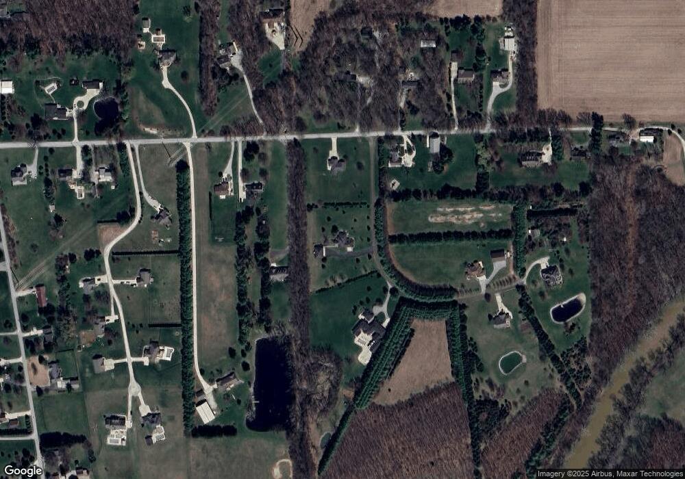
Map
Nearby Homes
- 12201 Leo Rd
- 000 Popp Rd
- 11209 Eagle River Run
- 6831 Tree Top Trail
- 1711 Glen Elm Dr
- 9977 Gala Cove Unit 31
- 10038 Gala Cove Unit 17
- 9965 Gala Cove
- 6161 Bateleur Ct
- 9836 Gala Cove
- 5936 Arapaho Trail
- 9404 Black Diamond Place
- 6070 Arvada Way
- 6030 Arvada Way
- 9915 Spur Creek Ct
- 6818 Hunters Glen Dr
- 6810 Hunters Glen Dr
- 13638 Leo Rd
- 10222 Riverview Dr
- 9902 Spur Creek Ct
Your Personal Tour Guide
Ask me questions while you tour the home.