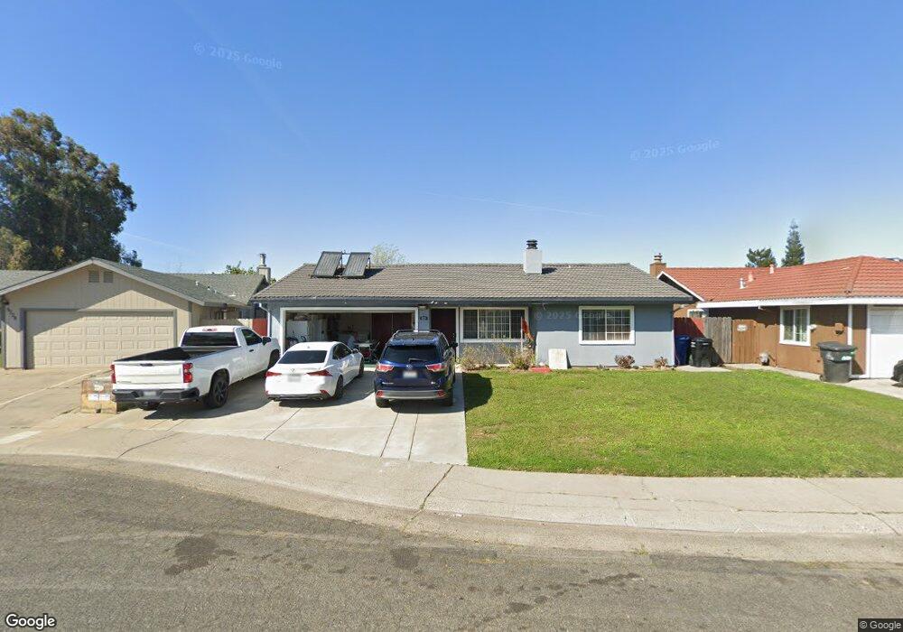
8224 Florintown Way Sacramento, CA 95828
Estimated Value: $308,000 - $426,000
3
Beds
2
Baths
1,091
Sq Ft
$350/Sq Ft
Est. Value
About This Home
This home is located at 8224 Florintown Way, Sacramento, CA 95828 and is currently estimated at $381,779, approximately $349 per square foot. 8224 Florintown Way is a home located in Sacramento County with nearby schools including Florin Elementary School, James Rutter Middle School, and Florin High School.
Ownership History
Date
Name
Owned For
Owner Type
Purchase Details
Closed on
Jan 11, 1995
Sold by
Jent Aubrey C and Jent Emma Lou
Bought by
Lal Suresh and Lal Parvind L
Current Estimated Value
Home Financials for this Owner
Home Financials are based on the most recent Mortgage that was taken out on this home.
Original Mortgage
$94,900
Interest Rate
9.29%
Mortgage Type
Seller Take Back
Create a Home Valuation Report for This Property
The Home Valuation Report is an in-depth analysis detailing your home's value as well as a comparison with similar homes in the area
Home Values in the Area
Average Home Value in this Area
Purchase History
| Date | Buyer | Sale Price | Title Company |
|---|---|---|---|
| Lal Suresh | $100,000 | Stewart Title |
Source: Public Records
Mortgage History
| Date | Status | Borrower | Loan Amount |
|---|---|---|---|
| Closed | Lal Suresh | $94,900 |
Source: Public Records
Tax History Compared to Growth
Tax History
| Year | Tax Paid | Tax Assessment Tax Assessment Total Assessment is a certain percentage of the fair market value that is determined by local assessors to be the total taxable value of land and additions on the property. | Land | Improvement |
|---|---|---|---|---|
| 2025 | $3,632 | $179,790 | $36,937 | $142,853 |
| 2024 | $3,632 | $176,265 | $36,213 | $140,052 |
| 2023 | $3,551 | $172,809 | $35,503 | $137,306 |
| 2022 | $3,438 | $169,421 | $34,807 | $134,614 |
| 2021 | $3,328 | $166,100 | $34,125 | $131,975 |
| 2020 | $3,276 | $164,398 | $33,776 | $130,622 |
| 2019 | $3,241 | $161,175 | $33,114 | $128,061 |
| 2018 | $3,176 | $158,015 | $32,465 | $125,550 |
| 2017 | $3,126 | $154,918 | $31,829 | $123,089 |
| 2016 | $2,981 | $151,881 | $31,205 | $120,676 |
| 2015 | $2,801 | $139,601 | $30,737 | $108,864 |
| 2014 | $2,725 | $136,867 | $30,135 | $106,732 |
Source: Public Records
Map
Nearby Homes
- 8280 Florintown Way
- 8284 Florintown Way
- 7306 Dave St
- 7309 Power Inn Rd
- 8205 White Sands Way
- 8214 Moorhaven Way
- 8221 Tiki Ln
- 8227 Tiki Ln
- 8226 Tiki Ln
- 8207 Wildfire Ln
- 7442 Della Cir
- 8501 Elaine Dr
- 7825 Rockhurst Way
- 7605 Loucreta Dr
- 7467 Power Inn Rd
- 7604 Loucreta Dr
- 7631 Verna Mae Ave
- 7 Pina St
- 12 Pina St
- 8200 Cottonfield Way
- 8220 Florintown Way
- 8228 Florintown Way
- 8258 Charlaura Ct
- 8262 Charlaura Ct
- 8235 Florintown Way
- 8254 Charlaura Ct
- 8232 Florintown Way
- 8236 Florintown Way
- 7270 Chardon Ct
- 7257 Town Hall Way
- 7257 Townhall Way
- 8241 Florintown Way
- 7253 Town Hall Way
- 7253 Townhall Way
- 8250 Charlaura Ct
- 0 McNie & Reese Ave
- 0 McNie Ave
- 0 McNie Ave Unit 222016659
- 0 McNie Ave Unit 221101727
- 7249 Townhall Way