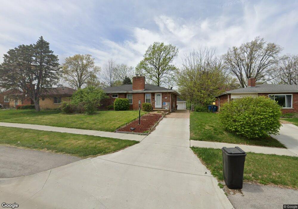
8225 Mackenzie Rd Saint Louis, MO 63123
Estimated Value: $268,000 - $297,000
3
Beds
2
Baths
1,342
Sq Ft
$206/Sq Ft
Est. Value
About This Home
This home is located at 8225 Mackenzie Rd, Saint Louis, MO 63123 and is currently estimated at $276,775, approximately $206 per square foot. 8225 Mackenzie Rd is a home located in St. Louis County with nearby schools including Mesnier Primary School, Gotsch Intermediate School, and Rogers Middle School.
Ownership History
Date
Name
Owned For
Owner Type
Purchase Details
Closed on
Jul 18, 2013
Sold by
Tolch Andrew and Tolch Sarah
Bought by
Bealmear Bryan
Current Estimated Value
Home Financials for this Owner
Home Financials are based on the most recent Mortgage that was taken out on this home.
Original Mortgage
$118,808
Outstanding Balance
$88,118
Interest Rate
4.4%
Mortgage Type
FHA
Estimated Equity
$188,657
Purchase Details
Closed on
Aug 9, 2007
Sold by
Barchet Cynthia and Barchet Carl W
Bought by
Tolch Andrew
Create a Home Valuation Report for This Property
The Home Valuation Report is an in-depth analysis detailing your home's value as well as a comparison with similar homes in the area
Home Values in the Area
Average Home Value in this Area
Purchase History
| Date | Buyer | Sale Price | Title Company |
|---|---|---|---|
| Bealmear Bryan | $124,000 | Orntic St Louis | |
| Tolch Andrew | -- | None Available |
Source: Public Records
Mortgage History
| Date | Status | Borrower | Loan Amount |
|---|---|---|---|
| Open | Bealmear Bryan | $118,808 |
Source: Public Records
Tax History
| Year | Tax Paid | Tax Assessment Tax Assessment Total Assessment is a certain percentage of the fair market value that is determined by local assessors to be the total taxable value of land and additions on the property. | Land | Improvement |
|---|---|---|---|---|
| 2025 | $3,385 | $47,570 | $13,810 | $33,760 |
| 2024 | $3,385 | $42,010 | $9,220 | $32,790 |
| 2023 | $3,272 | $42,010 | $9,220 | $32,790 |
| 2022 | $3,219 | $37,640 | $9,220 | $28,420 |
| 2021 | $3,144 | $37,640 | $9,220 | $28,420 |
| 2020 | $3,058 | $34,160 | $8,870 | $25,290 |
| 2019 | $3,052 | $34,160 | $8,870 | $25,290 |
| 2018 | $2,636 | $26,050 | $6,180 | $19,870 |
| 2017 | $2,620 | $26,050 | $6,180 | $19,870 |
| 2016 | $2,401 | $25,370 | $5,320 | $20,050 |
Source: Public Records
Map
Nearby Homes
- 6321 Sheppard Dr
- 8520 Ava Dr
- 6209 Bixby Ave
- 8200 New Hampshire Ave
- 8501 Palmetto Dr
- 8605 Neier Ln
- 6714 Colony Acres Dr
- 9225 Pavia Ave
- 8506 Mathilda Ave
- 6421 Judson Ave
- 9018 Vasel Dr
- 6830 Preservation Pkwy
- 6123 Savio Dr
- 5315 Vine Ave
- 6334 Hurstgreen Ln
- 5138 Lode Ave
- 6724 Preservation Pkwy
- 7809 Genesta St
- 6112 Deerwood Dr
- 8942 Eden Ave
- 8229 Mackenzie Rd
- 8221 Mackenzie Rd
- 8233 Mackenzie Rd
- 8217 Mackenzie Rd
- 8234 Villaton Dr
- 8238 Villaton Dr
- 8230 Villaton Dr
- 8213 Mackenzie Rd
- 8226 Villaton Dr
- 8237 Mackenzie Rd
- 8242 Villaton Dr
- 8222 Villaton Dr
- 8240 Mackenzie Rd
- 8232 Mackenzie Rd
- 8209 Mackenzie Rd
- 8248 Mackenzie Rd
- 8224 Mackenzie Rd
- 8218 Villaton Dr
- 8205 Mackenzie Rd
Your Personal Tour Guide
Ask me questions while you tour the home.