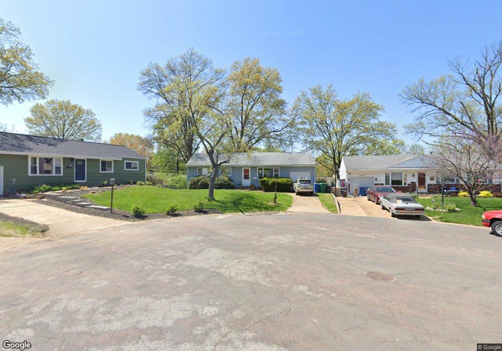
8227 General Sherman Ct Saint Louis, MO 63123
Estimated Value: $258,000 - $286,000
3
Beds
2
Baths
1,080
Sq Ft
$251/Sq Ft
Est. Value
About This Home
This home is located at 8227 General Sherman Ct, Saint Louis, MO 63123 and is currently estimated at $270,793, approximately $250 per square foot. 8227 General Sherman Ct is a home located in St. Louis County with nearby schools including Mesnier Primary School, Gotsch Intermediate School, and Rogers Middle School.
Ownership History
Date
Name
Owned For
Owner Type
Purchase Details
Closed on
Dec 30, 2004
Sold by
Shreves Ronald M and Shreves Patricia J
Bought by
Shreves Family Lp
Current Estimated Value
Purchase Details
Closed on
Aug 19, 2002
Sold by
Ogilvy Sallie and Ogilvy John H
Bought by
Shreves Ronald M and Shreves Patricia J
Purchase Details
Closed on
Jun 11, 2002
Sold by
Rogers Mary E
Bought by
Ogilvy Sallie and Morgan Sue
Create a Home Valuation Report for This Property
The Home Valuation Report is an in-depth analysis detailing your home's value as well as a comparison with similar homes in the area
Home Values in the Area
Average Home Value in this Area
Purchase History
| Date | Buyer | Sale Price | Title Company |
|---|---|---|---|
| Shreves Family Lp | -- | -- | |
| Shreves Ronald M | $113,000 | -- | |
| Ogilvy Sallie | -- | -- |
Source: Public Records
Tax History Compared to Growth
Tax History
| Year | Tax Paid | Tax Assessment Tax Assessment Total Assessment is a certain percentage of the fair market value that is determined by local assessors to be the total taxable value of land and additions on the property. | Land | Improvement |
|---|---|---|---|---|
| 2025 | $3,393 | $44,900 | $15,010 | $29,890 |
| 2024 | $3,393 | $41,850 | $10,010 | $31,840 |
| 2023 | $3,280 | $41,850 | $10,010 | $31,840 |
| 2022 | $3,076 | $35,740 | $11,000 | $24,740 |
| 2021 | $3,006 | $35,740 | $11,000 | $24,740 |
| 2020 | $2,671 | $29,610 | $9,750 | $19,860 |
| 2019 | $2,649 | $29,610 | $9,750 | $19,860 |
| 2018 | $2,714 | $26,830 | $6,800 | $20,030 |
| 2017 | $2,698 | $26,830 | $6,800 | $20,030 |
| 2016 | $2,214 | $23,370 | $5,090 | $18,280 |
| 2015 | $2,220 | $23,370 | $5,090 | $18,280 |
| 2014 | $2,231 | $23,370 | $6,330 | $17,040 |
Source: Public Records
Map
Nearby Homes
- 7101 Fernbrook Dr
- 7123 Craighill Dr
- 8415 Rockhaven Ln
- 7243 General Sherman Ln
- 8400 New Hampshire Ave
- 6540 Lawnside Dr
- 8613 Carriage Way Dr
- 7936 Radnor Dr
- 6843 Preservation Pkwy
- 7601 General Sheridan Ln
- 8215 General Sheridan Ln
- 6830 Preservation Pkwy
- 6819 Preservation Pkwy
- 6325 Sheppard Dr
- 7625 General Meade Ln
- 6804 Snowy Owl Ln
- 739 Hurstgreen Rd
- 6728 Preservation Pkwy
- 8554 Palmetto Dr
- 6724 Preservation Pkwy
- 8229 General Sherman Ct
- 8219 General Sherman Ct
- 8222 Marvale Ln
- 8218 Marvale Ln
- 8226 Marvale Ln
- 8214 Marvale Ln
- 8215 General Sherman Ct
- 8228 General Sherman Ct
- 8230 Marvale Ln
- 8210 Marvale Ln
- 6921 Cheshire Ln
- 8211 General Sherman Ct
- 6927 Cheshire Ln
- 6917 Cheshire Ln
- 8222 General Sherman Ct
- 8234 Marvale Ln
- 8226 General Sherman Ct
- 8218 General Sherman Ct
- 8221 Marvale Ln
- 8217 Marvale Ln