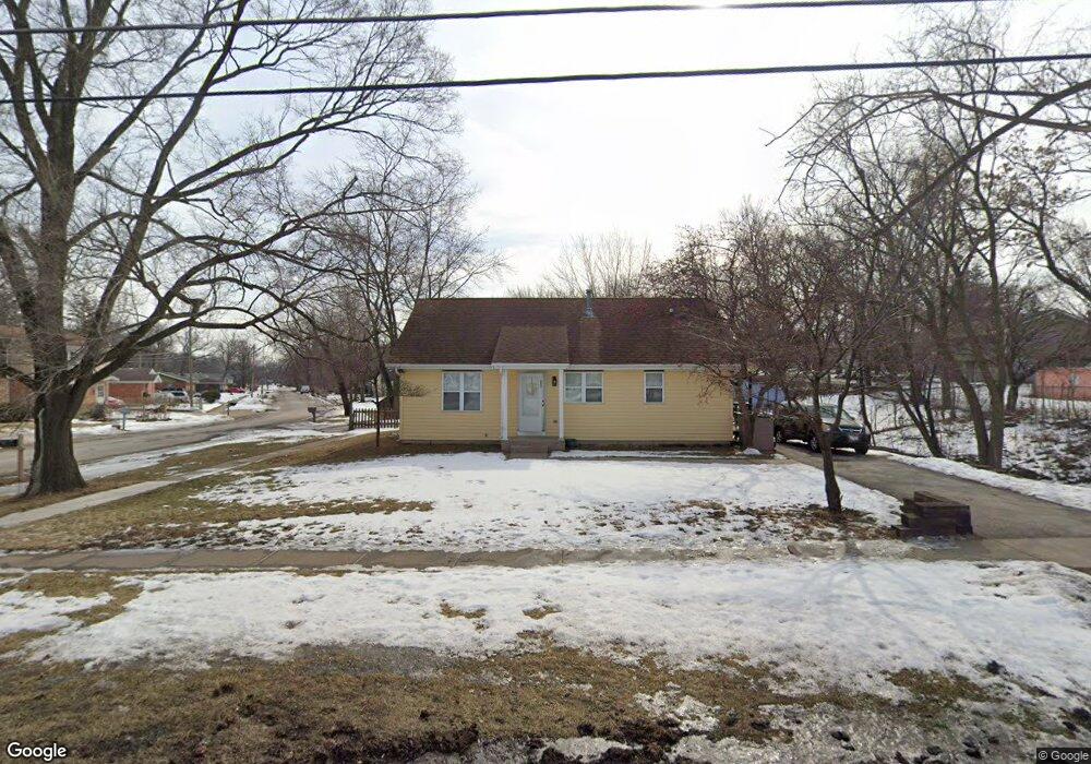
823 Bent St Elgin, IL 60120
Bluff City NeighborhoodEstimated Value: $251,000 - $306,000
2
Beds
1
Bath
858
Sq Ft
$323/Sq Ft
Est. Value
About This Home
This home is located at 823 Bent St, Elgin, IL 60120 and is currently estimated at $277,432, approximately $323 per square foot. 823 Bent St is a home located in Cook County with nearby schools including Huff Elementary School, Ellis Middle School, and Elgin High School.
Ownership History
Date
Name
Owned For
Owner Type
Purchase Details
Closed on
Apr 15, 1994
Sold by
Habitat For Humanity Of Northern Fox Val
Bought by
Salgado Felicidad
Current Estimated Value
Home Financials for this Owner
Home Financials are based on the most recent Mortgage that was taken out on this home.
Original Mortgage
$48,985
Interest Rate
7.88%
Mortgage Type
Seller Take Back
Create a Home Valuation Report for This Property
The Home Valuation Report is an in-depth analysis detailing your home's value as well as a comparison with similar homes in the area
Home Values in the Area
Average Home Value in this Area
Purchase History
| Date | Buyer | Sale Price | Title Company |
|---|---|---|---|
| Salgado Felicidad | -- | -- |
Source: Public Records
Mortgage History
| Date | Status | Borrower | Loan Amount |
|---|---|---|---|
| Closed | Salgado Felicidad | $48,985 |
Source: Public Records
Tax History Compared to Growth
Tax History
| Year | Tax Paid | Tax Assessment Tax Assessment Total Assessment is a certain percentage of the fair market value that is determined by local assessors to be the total taxable value of land and additions on the property. | Land | Improvement |
|---|---|---|---|---|
| 2024 | $5,469 | $19,000 | $3,750 | $15,250 |
| 2023 | $5,315 | $19,000 | $3,750 | $15,250 |
| 2022 | $5,315 | $19,000 | $3,750 | $15,250 |
| 2021 | $4,407 | $12,790 | $2,578 | $10,212 |
| 2020 | $4,380 | $12,790 | $2,578 | $10,212 |
| 2019 | $4,405 | $14,371 | $2,578 | $11,793 |
| 2018 | $4,581 | $13,484 | $2,343 | $11,141 |
| 2017 | $4,567 | $13,484 | $2,343 | $11,141 |
| 2016 | $4,297 | $13,484 | $2,343 | $11,141 |
| 2015 | $4,269 | $12,152 | $2,109 | $10,043 |
| 2014 | $3,261 | $12,152 | $2,109 | $10,043 |
| 2013 | $3,134 | $12,152 | $2,109 | $10,043 |
Source: Public Records
Map
Nearby Homes
- 536 Aller Ave
- 539 Lucille Ave
- 445 Lucile Ave
- 645 Lavoie Ave
- 644 Lavoie Ave
- 628 S Liberty St
- 306 S Liberty St
- 364 Bent St
- 1023 Berkshire Ct Unit C
- 725 Dixon Ave
- 518 Raymond St
- 1107 Yorkshire Ct Unit B
- 653 Dixon Ave
- 1104 Yorkshire Ct Unit B
- 603 Wellington Ave
- 661 Wellington Ave
- 1087 Houston Ave
- 262 Bartlett Place
- 653 Elgin Ave
- 764 Terrace Ct Unit A
- 510 Willard Ave
- 819 Bent St
- 815 Bent St
- 518 Harrison St
- 831 Bent St
- 505 Willard Ave
- 511 Willard Ave
- 811 Bent St
- 520 Willard Ave
- 522 Harrison St
- 515 Willard Ave
- 477 Harrison St
- 532 Willard Ave
- 526 Harrison St
- 801 Bent St
- 841 Bent St
- 471 Harrison St
- 501 Cleveland Ave
- 515 Cleveland Ave
- 521 Cleveland Ave