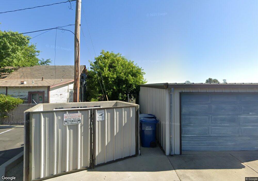
823 Twin View Blvd Redding, CA 96003
Twinview NeighborhoodEstimated Value: $467,295
Studio
--
Bath
2,000
Sq Ft
$234/Sq Ft
Est. Value
About This Home
This home is located at 823 Twin View Blvd, Redding, CA 96003 and is currently estimated at $467,295, approximately $233 per square foot. 823 Twin View Blvd is a home located in Shasta County with nearby schools including Rocky Point Charter School.
Ownership History
Date
Name
Owned For
Owner Type
Purchase Details
Closed on
Jun 20, 2016
Sold by
Dell Clarence Marvin O
Bought by
The O Dell Trust
Current Estimated Value
Purchase Details
Closed on
Jan 26, 2016
Sold by
Foster Lawrence E and Foster Maryjane
Bought by
Dell Clarence Marvin O
Home Financials for this Owner
Home Financials are based on the most recent Mortgage that was taken out on this home.
Original Mortgage
$250,000
Outstanding Balance
$199,231
Interest Rate
3.94%
Mortgage Type
Seller Take Back
Estimated Equity
$268,064
Create a Home Valuation Report for This Property
The Home Valuation Report is an in-depth analysis detailing your home's value as well as a comparison with similar homes in the area
Home Values in the Area
Average Home Value in this Area
Purchase History
| Date | Buyer | Sale Price | Title Company |
|---|---|---|---|
| The O Dell Trust | -- | None Available | |
| Dell Clarence Marvin O | $275,000 | Placer Title Company |
Source: Public Records
Mortgage History
| Date | Status | Borrower | Loan Amount |
|---|---|---|---|
| Open | Dell Clarence Marvin O | $250,000 |
Source: Public Records
Tax History
| Year | Tax Paid | Tax Assessment Tax Assessment Total Assessment is a certain percentage of the fair market value that is determined by local assessors to be the total taxable value of land and additions on the property. | Land | Improvement |
|---|---|---|---|---|
| 2025 | $3,651 | $325,538 | $218,999 | $106,539 |
| 2024 | $3,580 | $319,155 | $214,705 | $104,450 |
| 2023 | $3,580 | $312,898 | $210,496 | $102,402 |
| 2022 | $3,484 | $306,764 | $206,369 | $100,395 |
| 2021 | $3,435 | $300,750 | $202,323 | $98,427 |
| 2020 | $3,419 | $297,667 | $200,249 | $97,418 |
| 2019 | $3,316 | $291,831 | $196,323 | $95,508 |
| 2018 | $3,314 | $286,110 | $192,474 | $93,636 |
| 2017 | $3,259 | $280,500 | $188,700 | $91,800 |
| 2016 | $1,213 | $98,247 | $48,782 | $49,465 |
| 2015 | $1,195 | $96,772 | $48,050 | $48,722 |
| 2014 | $1,201 | $94,877 | $47,109 | $47,768 |
Source: Public Records
Map
Nearby Homes
- 671 Valleybrook Dr
- 846 Ridge Rd
- 633 Marijean Way
- 459 Red Cedar Dr
- 1131 Redwood Blvd
- 362 Lemon Dr
- 466 Balsawood Dr
- 5589 Trish Ct
- 4893 Hardwood Blvd Unit 23
- 4722 Maple Trail
- 1111 Jaxon Way
- 880 Tuberose Trail
- 4719 Maple Trail
- 481 Twin View Blvd
- 5663 Terra Linda Way
- 808 Butternut Trail
- 977 Tuberose Trail
- 4753 White River Dr
- 426 Milkwood Dr
- 4672 Underwood Dr
- 771 Twin View Blvd
- 771 Twin View Blvd
- 827 Twin View Blvd
- 5304 Stonethrow Ct
- 829 Twin View Blvd
- 5311 Stonethrow Ct
- 5316 Stonethrow Ct
- 5311 Stonethrow Ct Unit 1
- 5311 Stonethrow Ct
- 5328 Stonethrow Ct
- 5319 Stonethrow Ct
- 652 Brookridge Dr
- 824 Twin View Blvd
- 839 Twin View Blvd
- 626 Brookridge Dr
- 670 Brookridge Dr Unit SFD
- 670 Brookridge Dr
- 688 Brookridge Dr
- 680 Valleybrook Dr Unit lot 16
- 680 Valleybrook Dr
