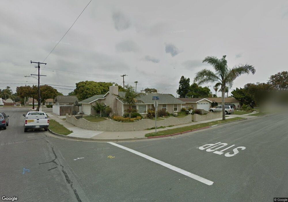
8231 Reilly Dr Huntington Beach, CA 92646
Southeast NeighborhoodEstimated Value: $1,354,200 - $1,447,000
3
Beds
2
Baths
1,508
Sq Ft
$930/Sq Ft
Est. Value
About This Home
This home is located at 8231 Reilly Dr, Huntington Beach, CA 92646 and is currently estimated at $1,402,550, approximately $930 per square foot. 8231 Reilly Dr is a home located in Orange County with nearby schools including John R. Peterson Elementary, Isaac L. Sowers Middle School, and Edison High School.
Ownership History
Date
Name
Owned For
Owner Type
Purchase Details
Closed on
Jul 14, 2020
Sold by
Pacific Sands Llc
Bought by
Scotten Neil and Scotten Sally J
Current Estimated Value
Purchase Details
Closed on
Apr 6, 2020
Sold by
Scotten Neil
Bought by
Scotten Neil and Scotten Sally J
Purchase Details
Closed on
Nov 23, 1998
Sold by
Scotten Sally J
Bought by
Scotten Neil L
Home Financials for this Owner
Home Financials are based on the most recent Mortgage that was taken out on this home.
Original Mortgage
$220,500
Interest Rate
9.5%
Create a Home Valuation Report for This Property
The Home Valuation Report is an in-depth analysis detailing your home's value as well as a comparison with similar homes in the area
Home Values in the Area
Average Home Value in this Area
Purchase History
| Date | Buyer | Sale Price | Title Company |
|---|---|---|---|
| Scotten Neil | -- | Fidelity National Title | |
| Scotten Neil | -- | None Available | |
| Scotten Neil L | -- | American Title Co |
Source: Public Records
Mortgage History
| Date | Status | Borrower | Loan Amount |
|---|---|---|---|
| Previous Owner | Scotten Neil L | $220,500 |
Source: Public Records
Tax History Compared to Growth
Tax History
| Year | Tax Paid | Tax Assessment Tax Assessment Total Assessment is a certain percentage of the fair market value that is determined by local assessors to be the total taxable value of land and additions on the property. | Land | Improvement |
|---|---|---|---|---|
| 2025 | $4,466 | $384,079 | $288,202 | $95,877 |
| 2024 | $4,466 | $376,549 | $282,551 | $93,998 |
| 2023 | $4,363 | $369,166 | $277,011 | $92,155 |
| 2022 | $4,247 | $361,928 | $271,579 | $90,349 |
| 2021 | $4,168 | $354,832 | $266,254 | $88,578 |
| 2020 | $4,139 | $351,194 | $263,524 | $87,670 |
| 2019 | $4,091 | $344,308 | $258,357 | $85,951 |
| 2018 | $4,027 | $337,557 | $253,291 | $84,266 |
| 2017 | $3,972 | $330,939 | $248,325 | $82,614 |
| 2016 | $3,800 | $324,450 | $243,455 | $80,995 |
| 2015 | $3,762 | $319,577 | $239,798 | $79,779 |
| 2014 | $3,682 | $313,317 | $235,100 | $78,217 |
Source: Public Records
Map
Nearby Homes
- 20401 Somerville Ln
- 8342 Seaport Dr
- 8565 Colusa Cir Unit 906C
- 20302 Tidepool Cir Unit 204
- 20371 Bluffside Cir Unit B214
- 8122 Seawater Dr
- 20331 Bluffside Cir Unit 417
- 20331 Bluffside Cir Unit 411
- 20331 Bluffside Cir Unit 222
- 20331 Bluffside Cir Unit A320
- 20331 Bluffside Cir Unit A108
- 20251 Lighthouse Ln
- 8565 Larkhall Cir Unit 804A
- 20301 Bluffside Cir Unit D312
- 20301 Bluffside Cir Unit D401
- 8565 Trinity Cir Unit 824D
- 20701 Beach Blvd Unit 128
- 20701 Beach Blvd Unit 65
- 20701 Beach Blvd Unit 142
- 20701 Beach Blvd Unit 285
- 8241 Reilly Dr
- 8232 Indianapolis Ave
- 8251 Reilly Dr
- 8242 Indianapolis Ave
- 20562 Farnsworth Ln
- 8252 Indianapolis Ave
- 8212 Indianapolis Ave
- 8261 Reilly Dr
- 20561 Goshawk Ln
- 20582 Farnsworth Ln
- 8262 Indianapolis Ave
- 8192 Indianapolis Ave
- 20581 Goshawk Ln
- 8271 Reilly Dr
- 8272 Indianapolis Ave
- 20592 Farnsworth Ln
- 8182 Indianapolis Ave
- 20591 Goshawk Ln
- 8291 Reilly Dr
- 8231 Indianapolis Ave