Estimated Value: $283,000 - $495,000
3
Beds
2
Baths
1,276
Sq Ft
$311/Sq Ft
Est. Value
About This Home
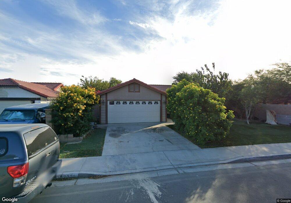
This home is located at 82321 Deborah Dr, Indio, CA 92201 and is currently estimated at $397,002, approximately $311 per square foot. 82321 Deborah Dr is a home located in Riverside County with nearby schools including Dr. Reynaldo J. Carreon Jr. Academy, Thomas Jefferson Middle School, and Indio High School.
Ownership History
Date
Name
Owned For
Owner Type
Purchase Details
Closed on
Sep 5, 1997
Sold by
Hud
Bought by
Beltran Yolanda
Current Estimated Value
Home Financials for this Owner
Home Financials are based on the most recent Mortgage that was taken out on this home.
Original Mortgage
$48,568
Outstanding Balance
$7,573
Interest Rate
7.54%
Estimated Equity
$389,429
Purchase Details
Closed on
Jun 19, 1997
Sold by
Midland Mtg Co
Bought by
Hud
Purchase Details
Closed on
May 2, 1997
Sold by
Peterson Ronald R
Bought by
Midland Mtg Co
Purchase Details
Closed on
Nov 15, 1994
Sold by
Peterson Kerrie Anne Delacruz
Bought by
Peterson Ronald R
Purchase Details
Closed on
Nov 1, 1994
Sold by
Peterson Ronald R
Bought by
Arellano Benjamin Sanchez
Create a Home Valuation Report for This Property
The Home Valuation Report is an in-depth analysis detailing your home's value as well as a comparison with similar homes in the area
Home Values in the Area
Average Home Value in this Area
Purchase History
| Date | Buyer | Sale Price | Title Company |
|---|---|---|---|
| Beltran Yolanda | $67,500 | Fidelity National Title Ins | |
| Hud | -- | United Title Company | |
| Midland Mtg Co | $91,857 | United Title Company | |
| Peterson Ronald R | -- | Union Land Title Company | |
| Arellano Benjamin Sanchez | -- | Union Land Title Company |
Source: Public Records
Mortgage History
| Date | Status | Borrower | Loan Amount |
|---|---|---|---|
| Open | Beltran Yolanda | $48,568 |
Source: Public Records
Tax History Compared to Growth
Tax History
| Year | Tax Paid | Tax Assessment Tax Assessment Total Assessment is a certain percentage of the fair market value that is determined by local assessors to be the total taxable value of land and additions on the property. | Land | Improvement |
|---|---|---|---|---|
| 2025 | $2,526 | $122,113 | $32,555 | $89,558 |
| 2023 | $2,526 | $117,373 | $31,292 | $86,081 |
| 2022 | $2,378 | $115,073 | $30,679 | $84,394 |
| 2021 | $2,239 | $112,818 | $30,078 | $82,740 |
| 2020 | $2,018 | $111,662 | $29,770 | $81,892 |
| 2019 | $1,963 | $109,474 | $29,187 | $80,287 |
| 2018 | $1,914 | $107,328 | $28,615 | $78,713 |
| 2017 | $1,885 | $105,224 | $28,054 | $77,170 |
| 2016 | $1,860 | $103,161 | $27,504 | $75,657 |
| 2015 | $1,823 | $101,613 | $27,092 | $74,521 |
| 2014 | $1,799 | $99,624 | $26,562 | $73,062 |
Source: Public Records
Map
Nearby Homes
- 82431 Arlene Dr
- 82235 Calico Ave
- 47395 Monroe St Unit 125
- 47395 Monroe St Unit 193
- 47926 Sunflower St
- 81901 Victoria St
- 83734 Doctor Carreon Blvd
- 46440 Doctor Carreon Blvd
- 82300 Vandenberg Ct
- 82567 Avenue 48 Unit 36
- 82223 Vandenberg Dr
- 48305 Pic Way
- 82151 Hanson Dr
- 82872 Wordsworth Ct
- 82950 California 111
- 48255 Monroe St Unit 33
- 48255 Monroe St Unit 59
- 48255 Monroe St Unit 43
- 48255 Monroe St Unit 2
- 82887 Wordsworth Ct
- 82333 Deborah Dr
- 47204 Diane St
- 47228 Diane St
- 82334 Arlene Ct
- 82326 Arlene Ct
- 82345 Deborah Dr
- 47254 Diane St
- 82324 Deborah Dr
- 82312 Deborah Dr
- 82346 Arlene Ct
- 82338 Deborah Dr
- 82298 Deborah Dr
- 82359 Deborah Dr
- 47276 Diane St
- 82352 Deborah Dr
- 82360 Arlene Ct
- 82325 Arlene Ct
- 47203 Diane St
- 47227 Diane St
- 82290 Deborah Dr