8235 N 19th Ave W Colfax, IA 50054
Estimated Value: $483,000 - $717,000
3
Beds
4
Baths
2,551
Sq Ft
$227/Sq Ft
Est. Value
About This Home
This home is located at 8235 N 19th Ave W, Colfax, IA 50054 and is currently estimated at $578,540, approximately $226 per square foot. 8235 N 19th Ave W is a home located in Jasper County with nearby schools including Colfax-Mingo Elementary School and Colfax-Mingo High School.
Ownership History
Date
Name
Owned For
Owner Type
Purchase Details
Closed on
Aug 4, 2011
Sold by
Larson Glenn P and Larson Linda L
Bought by
Bergan Timothy J and Bergan Cayla R
Current Estimated Value
Home Financials for this Owner
Home Financials are based on the most recent Mortgage that was taken out on this home.
Original Mortgage
$268,000
Outstanding Balance
$172,544
Interest Rate
3.12%
Mortgage Type
Assumption
Estimated Equity
$405,996
Create a Home Valuation Report for This Property
The Home Valuation Report is an in-depth analysis detailing your home's value as well as a comparison with similar homes in the area
Home Values in the Area
Average Home Value in this Area
Purchase History
| Date | Buyer | Sale Price | Title Company |
|---|---|---|---|
| Bergan Timothy J | $335,000 | United Land Title Co |
Source: Public Records
Mortgage History
| Date | Status | Borrower | Loan Amount |
|---|---|---|---|
| Open | Bergan Timothy J | $268,000 |
Source: Public Records
Tax History Compared to Growth
Tax History
| Year | Tax Paid | Tax Assessment Tax Assessment Total Assessment is a certain percentage of the fair market value that is determined by local assessors to be the total taxable value of land and additions on the property. | Land | Improvement |
|---|---|---|---|---|
| 2025 | $5,462 | $441,100 | $17,260 | $423,840 |
| 2024 | $5,462 | $396,410 | $13,060 | $383,350 |
| 2023 | $5,290 | $396,410 | $13,060 | $383,350 |
| 2022 | $4,240 | $294,380 | $9,790 | $284,590 |
| 2021 | $4,172 | $275,190 | $9,790 | $265,400 |
| 2020 | $4,172 | $252,040 | $10,140 | $241,900 |
| 2019 | $3,888 | $224,580 | $0 | $0 |
| 2018 | $3,888 | $224,580 | $0 | $0 |
| 2017 | $3,908 | $230,150 | $0 | $0 |
| 2016 | $3,908 | $230,150 | $0 | $0 |
| 2015 | $3,906 | $232,600 | $0 | $0 |
| 2014 | $3,826 | $232,600 | $0 | $0 |
Source: Public Records
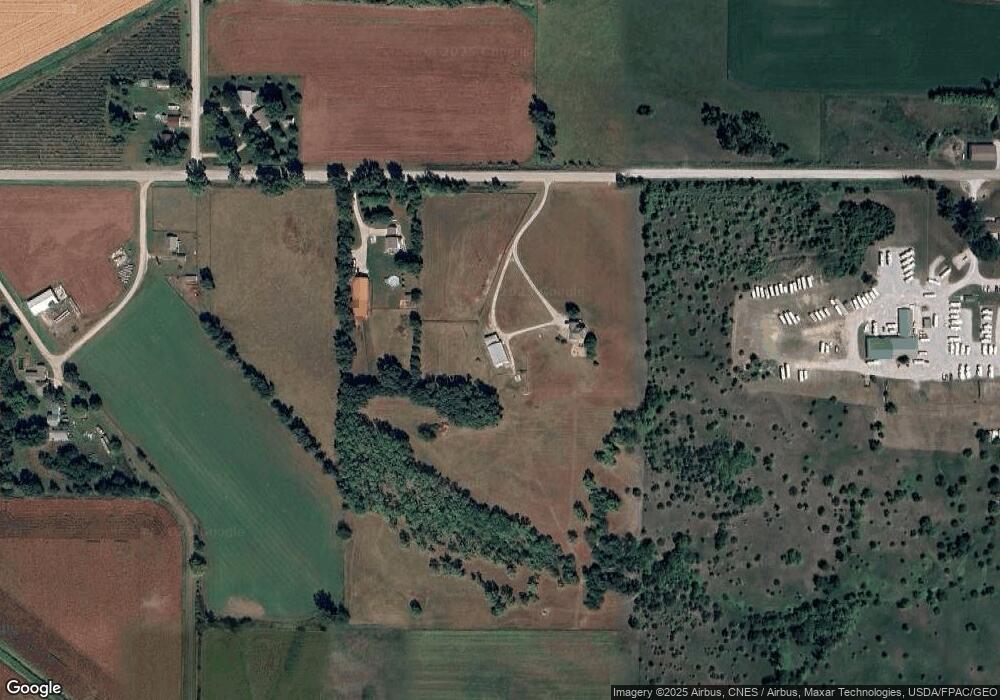
Map
Nearby Homes
- 6911 Highway F48 W
- HWY 117 at Intersection of Fleet Ave
- 3729 W 56th St N
- 655 E Division St
- 300 E Front St
- 20 S Oak Park Ave
- 0000 Lincoln St
- 200 Jefferson St
- 400 S Goodrich St
- 222 E Broadway St
- 226 S Iowa St
- 5323 Highway F36 W
- 34 E Broadway St
- 520 S Oak Park Ave
- 108 S Walnut St
- 624 S Goodrich St
- 108 N West St
- 119 W Washington St
- 11213 Orchard Ave
- 223 W Broadway St