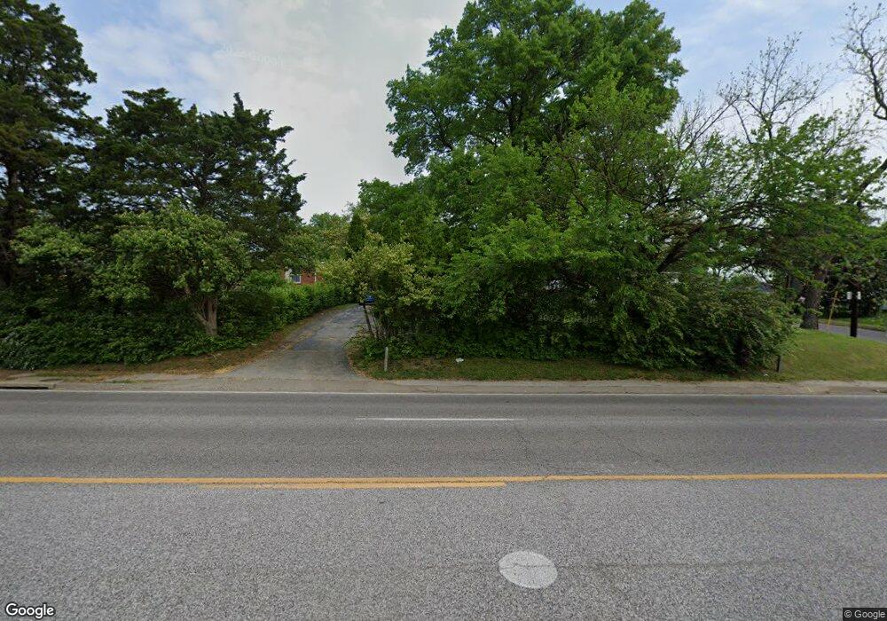
8237 Watson Rd Saint Louis, MO 63119
Estimated Value: $272,104 - $302,000
2
Beds
1
Bath
893
Sq Ft
$321/Sq Ft
Est. Value
About This Home
This home is located at 8237 Watson Rd, Saint Louis, MO 63119 and is currently estimated at $286,276, approximately $320 per square foot. 8237 Watson Rd is a home located in St. Louis County with nearby schools including Edgar Road Elementary School, Hixson Middle School, and Webster Groves High School.
Ownership History
Date
Name
Owned For
Owner Type
Purchase Details
Closed on
Sep 28, 2020
Sold by
Vigil Eduardo and Vigil Anne
Bought by
Vigil Fernando and Vigil Debra
Current Estimated Value
Purchase Details
Closed on
Sep 8, 2020
Sold by
Perks John and Perks Anamary
Bought by
Vigil Fernando and Vigil Debra
Purchase Details
Closed on
Sep 5, 2020
Sold by
Vigil Carlos and Vigil Melissa
Bought by
Vigil Fernando and Vigil Debra
Create a Home Valuation Report for This Property
The Home Valuation Report is an in-depth analysis detailing your home's value as well as a comparison with similar homes in the area
Home Values in the Area
Average Home Value in this Area
Purchase History
| Date | Buyer | Sale Price | Title Company |
|---|---|---|---|
| Vigil Fernando | -- | None Listed On Document | |
| Vigil Fernando | -- | None Listed On Document | |
| Vigil Fernando | -- | None Listed On Document | |
| Vigil Fernando | -- | None Listed On Document | |
| Vigil Fernando | -- | None Listed On Document | |
| Vigil Fernando | -- | None Listed On Document |
Source: Public Records
Tax History
| Year | Tax Paid | Tax Assessment Tax Assessment Total Assessment is a certain percentage of the fair market value that is determined by local assessors to be the total taxable value of land and additions on the property. | Land | Improvement |
|---|---|---|---|---|
| 2025 | $2,958 | $45,690 | $31,670 | $14,020 |
| 2024 | $2,958 | $42,270 | $22,170 | $20,100 |
| 2023 | $2,958 | $42,270 | $22,170 | $20,100 |
| 2022 | $2,932 | $39,100 | $22,170 | $16,930 |
| 2021 | $2,923 | $39,100 | $22,170 | $16,930 |
| 2020 | $2,892 | $36,020 | $22,170 | $13,850 |
| 2019 | $2,875 | $36,020 | $22,170 | $13,850 |
| 2018 | $2,710 | $30,120 | $15,830 | $14,290 |
| 2017 | $2,692 | $30,120 | $15,830 | $14,290 |
| 2016 | $2,298 | $24,590 | $12,640 | $11,950 |
| 2015 | $2,298 | $24,590 | $12,640 | $11,950 |
| 2014 | $2,104 | $21,890 | $8,060 | $13,830 |
Source: Public Records
Map
Nearby Homes
- 1433 Ronald Dr
- 1463 Ronald Dr
- 435 Hampshire Ct
- 1330 Drayton Ave
- 804 Edgar Rd
- 1412 Gardenia Dr
- 7654 Paragon Cir
- 1116 S Elm Ave
- 6901 General Sherman Ln
- 55 W Drake Ave
- 7908 Camelot Ln Unit 4
- 7919 Royal Arms Ct Unit 2
- 439 Landscape Ct
- 539 Colebrook Dr Unit B
- 6723 Colony Acres Dr
- 6804 Snowy Owl Ln
- 6722 Colony Acres Dr
- 6830 Preservation Pkwy
- 8200 New Hampshire Ave
- 6714 Colony Acres Dr
Your Personal Tour Guide
Ask me questions while you tour the home.