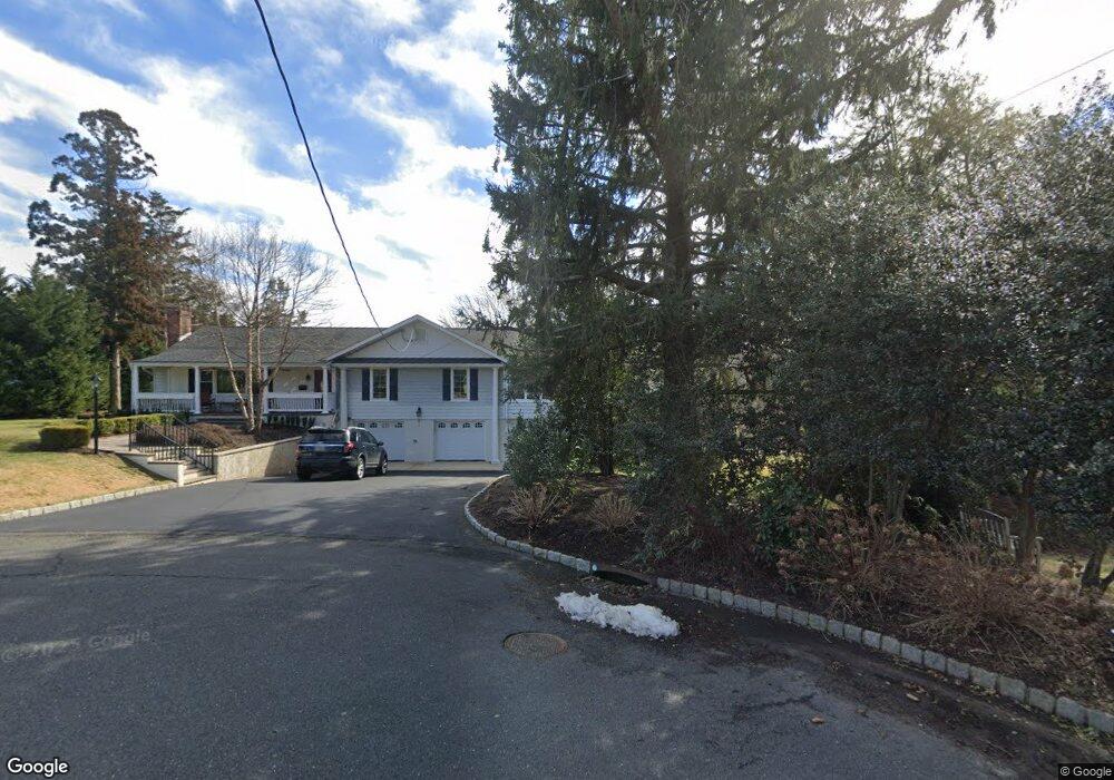
824 Scott Rd Brielle, NJ 08730
Estimated Value: $1,556,000 - $2,065,000
5
Beds
3
Baths
2,484
Sq Ft
$719/Sq Ft
Est. Value
About This Home
This home is located at 824 Scott Rd, Brielle, NJ 08730 and is currently estimated at $1,786,829, approximately $719 per square foot. 824 Scott Rd is a home located in Monmouth County with nearby schools including Brielle Elementary School and St. Peter School.
Ownership History
Date
Name
Owned For
Owner Type
Purchase Details
Closed on
Dec 20, 2012
Sold by
Niemezyk Joseph S
Bought by
Niemczyk Joseph M and Rosenberger Eric K
Current Estimated Value
Purchase Details
Closed on
Mar 19, 2008
Sold by
Maier Edward L
Bought by
Niemczyk Joseph S
Home Financials for this Owner
Home Financials are based on the most recent Mortgage that was taken out on this home.
Original Mortgage
$800,000
Interest Rate
6.49%
Mortgage Type
Purchase Money Mortgage
Purchase Details
Closed on
Nov 9, 1999
Sold by
Maier Kathleen
Bought by
Maier Edward
Create a Home Valuation Report for This Property
The Home Valuation Report is an in-depth analysis detailing your home's value as well as a comparison with similar homes in the area
Home Values in the Area
Average Home Value in this Area
Purchase History
| Date | Buyer | Sale Price | Title Company |
|---|---|---|---|
| Niemczyk Joseph M | -- | None Available | |
| Niemczyk Joseph S | $1,150,000 | None Available | |
| Maier Edward | $130,500 | -- |
Source: Public Records
Mortgage History
| Date | Status | Borrower | Loan Amount |
|---|---|---|---|
| Previous Owner | Niemczyk Joseph S | $800,000 |
Source: Public Records
Tax History
| Year | Tax Paid | Tax Assessment Tax Assessment Total Assessment is a certain percentage of the fair market value that is determined by local assessors to be the total taxable value of land and additions on the property. | Land | Improvement |
|---|---|---|---|---|
| 2025 | $15,272 | $1,379,200 | $863,600 | $515,600 |
| 2024 | $14,919 | $1,230,600 | $718,900 | $511,700 |
Source: Public Records
Map
Nearby Homes
- 607 Cherokee Ln
- 642 Rankin Rd
- 846 William Dr
- 816 Rathjen Rd
- 612 Union Ave
- 409 Laurel Ave
- 907 Riverview Dr
- 432 Oval Rd
- 917 Riverview Dr
- 504 Old Bridge Rd
- 1041 Oval Rd Unit 5
- 308 South St
- 21 N Tamarack Dr
- 924 Birch Dr
- 931 Birch Dr
- 323-325 Fisk Ave
- 937 Birch Dr
- 204 Curtis Ave
- 14 Lebanon Dr
- 329 Fisk Ave
- 825 Club Rd
- 610 Isham Cir
- 825 Scott Rd
- 822 Scott Rd
- 608 Isham Cir
- 823 Club Rd
- 823 Scott Rd
- 824 Club Rd
- 612 Isham Cir
- 820 Scott Rd
- 821 Scott Rd
- 822 Club Rd
- 619 Rankin Rd
- 619 Rankin Rd Unit Lot 3 - .1.028 acres
- 619 Rankin Rd Unit Lot 2 - .691 acres
- 619 Rankin Rd Unit Lot 4 - .366 acres
- 619 Rankin Rd Unit Lot 1 - .712 acres
- 619 Rankin Rd Unit Lot 5 - .432 acres
- 613 Rankin Rd
- 606 Isham Cir
Your Personal Tour Guide
Ask me questions while you tour the home.