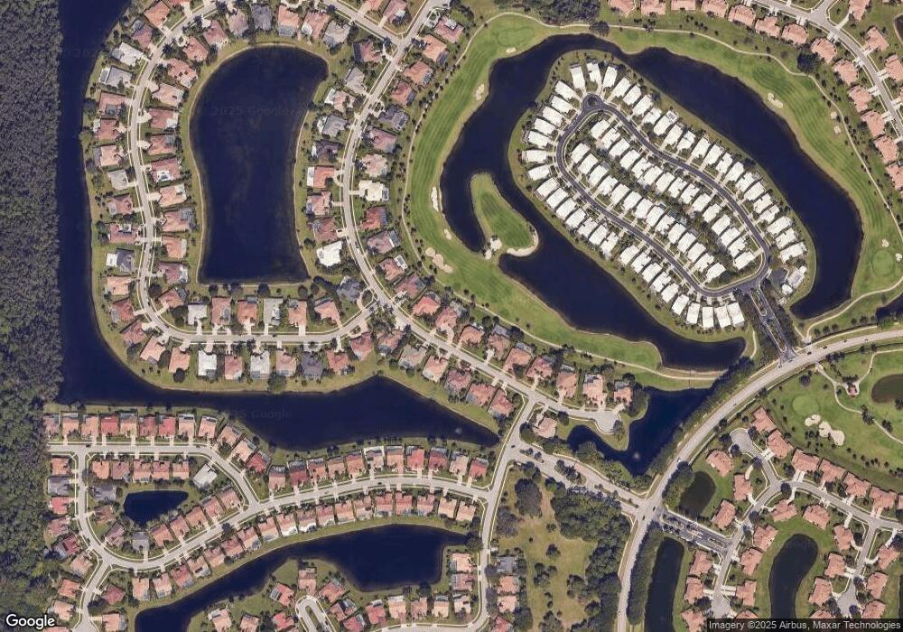
8240 Desmond Dr Boynton Beach, FL 33472
Aberdeen NeighborhoodEstimated Value: $606,000 - $739,000
--
Bed
3
Baths
2,801
Sq Ft
$238/Sq Ft
Est. Value
About This Home
This home is located at 8240 Desmond Dr, Boynton Beach, FL 33472 and is currently estimated at $667,400, approximately $238 per square foot. 8240 Desmond Dr is a home located in Palm Beach County with nearby schools including Crystal Lakes Elementary School, Christa Mcauliffe Middle School, and Park Vista Community High School.
Ownership History
Date
Name
Owned For
Owner Type
Purchase Details
Closed on
Aug 15, 1997
Sold by
Sherman Arthur I and Sherman Nancy E
Bought by
Sherman Nancy E
Current Estimated Value
Purchase Details
Closed on
May 23, 1997
Sold by
948 8850 Ontario Ltd
Bought by
Sherman Arthur I
Home Financials for this Owner
Home Financials are based on the most recent Mortgage that was taken out on this home.
Original Mortgage
$150,000
Interest Rate
8.17%
Mortgage Type
New Conventional
Create a Home Valuation Report for This Property
The Home Valuation Report is an in-depth analysis detailing your home's value as well as a comparison with similar homes in the area
Home Values in the Area
Average Home Value in this Area
Purchase History
| Date | Buyer | Sale Price | Title Company |
|---|---|---|---|
| Sherman Nancy E | $100 | -- | |
| Sherman Arthur I | $385,000 | -- |
Source: Public Records
Mortgage History
| Date | Status | Borrower | Loan Amount |
|---|---|---|---|
| Previous Owner | Sherman Arthur I | $150,000 |
Source: Public Records
Tax History Compared to Growth
Tax History
| Year | Tax Paid | Tax Assessment Tax Assessment Total Assessment is a certain percentage of the fair market value that is determined by local assessors to be the total taxable value of land and additions on the property. | Land | Improvement |
|---|---|---|---|---|
| 2024 | $5,449 | $347,638 | -- | -- |
| 2023 | $5,314 | $337,513 | $0 | $0 |
| 2022 | $5,266 | $327,683 | $0 | $0 |
| 2021 | $5,232 | $318,139 | $0 | $0 |
| 2020 | $5,194 | $313,747 | $80,000 | $233,747 |
| 2019 | $5,198 | $310,457 | $0 | $0 |
| 2018 | $4,941 | $304,668 | $82,108 | $222,560 |
| 2017 | $4,947 | $302,211 | $0 | $0 |
| 2016 | $4,960 | $295,995 | $0 | $0 |
| 2015 | $5,175 | $299,014 | $0 | $0 |
| 2014 | $5,188 | $296,641 | $0 | $0 |
Source: Public Records
Map
Nearby Homes
- 8384 Horseshoe Bay Rd
- 8121 Desmond Dr
- 7728 Bridlington Dr
- 7401 Hearth Stone Ave
- 7791 Bridlington Dr
- 8099 Cassia Dr
- 8423 Juddith Ave
- 8453 Juddith Ave
- 8207 Cassia Dr
- 8225 Cassia Dr
- 7924 Dorchester Rd
- 7769 Springfield Lake Dr
- 8224 Cassia Dr
- 7823 Springfield Lake Dr
- 7835 Springfield Lake Dr
- 7822 Carina Ct
- 8486 Heather Place
- 7345 Wescott Terrace
- 7992 Rockford Rd
- 7681 Rockford Rd
- 8256 Desmond Dr
- 8224 Desmond Dr
- 8272 Desmond Dr
- 8241 Desmond Dr
- 8208 Desmond Dr
- 8225 Desmond Dr
- 8257 Desmond Dr
- 8209 Desmond Dr
- 8288 Desmond Dr
- 8192 Desmond Dr
- 8273 Desmond Dr
- 8321 Muirhead Cir
- 8289 Desmond Dr
- 8304 Desmond Dr
- 8320 Muirhead Cir
- 8311 Muirhead Cir
- 8310 Muirhead Cir
- 8160 Desmond Dr
- 8320 Desmond Dr
- 8177 Desmond Dr
