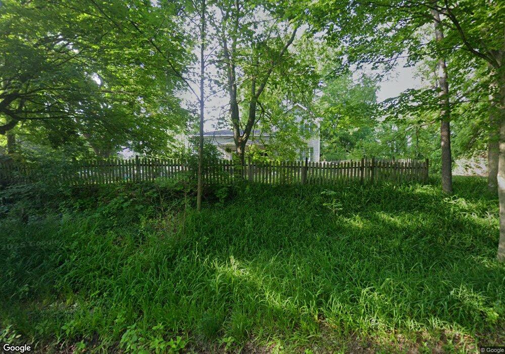
8241 W Ml Ave Kalamazoo, MI 49009
Estimated Value: $315,000 - $495,000
3
Beds
1
Bath
2,192
Sq Ft
$177/Sq Ft
Est. Value
About This Home
This home is located at 8241 W Ml Ave, Kalamazoo, MI 49009 and is currently estimated at $388,789, approximately $177 per square foot. 8241 W Ml Ave is a home located in Kalamazoo County with nearby schools including Prairie Ridge Elementary School, Maple Street Magnet School for the Arts, and Loy Norrix High School.
Ownership History
Date
Name
Owned For
Owner Type
Purchase Details
Closed on
Aug 18, 2015
Sold by
Redmond Thomas
Bought by
Redmond Thomas and Redmond Emily
Current Estimated Value
Purchase Details
Closed on
Sep 22, 2003
Sold by
Miller Randy and Sprinkle Lisa
Bought by
Redmond Thomas
Home Financials for this Owner
Home Financials are based on the most recent Mortgage that was taken out on this home.
Original Mortgage
$96,000
Outstanding Balance
$44,504
Interest Rate
6.23%
Mortgage Type
Purchase Money Mortgage
Estimated Equity
$344,285
Create a Home Valuation Report for This Property
The Home Valuation Report is an in-depth analysis detailing your home's value as well as a comparison with similar homes in the area
Home Values in the Area
Average Home Value in this Area
Purchase History
| Date | Buyer | Sale Price | Title Company |
|---|---|---|---|
| Redmond Thomas | -- | Attorney | |
| Redmond Thomas | $120,000 | Metro |
Source: Public Records
Mortgage History
| Date | Status | Borrower | Loan Amount |
|---|---|---|---|
| Open | Redmond Thomas | $96,000 |
Source: Public Records
Tax History Compared to Growth
Tax History
| Year | Tax Paid | Tax Assessment Tax Assessment Total Assessment is a certain percentage of the fair market value that is determined by local assessors to be the total taxable value of land and additions on the property. | Land | Improvement |
|---|---|---|---|---|
| 2025 | $4,980 | $163,400 | $0 | $0 |
| 2024 | $1,222 | $145,400 | $0 | $0 |
| 2023 | $1,165 | $130,100 | $0 | $0 |
| 2022 | $4,522 | $117,600 | $0 | $0 |
| 2021 | $4,332 | $113,100 | $0 | $0 |
| 2020 | $4,130 | $106,800 | $0 | $0 |
| 2019 | $3,912 | $102,400 | $0 | $0 |
| 2018 | $3,821 | $97,300 | $0 | $0 |
| 2017 | $0 | $97,300 | $0 | $0 |
| 2016 | -- | $94,800 | $0 | $0 |
| 2015 | -- | $91,800 | $39,100 | $52,700 |
| 2014 | -- | $91,800 | $0 | $0 |
Source: Public Records
Map
Nearby Homes
- 8445 Knotty Pine Ln Unit 39
- 8163 Majestic Ct Unit 19
- 8120 Majestic Ct Unit 13
- 8145 Majestic Ct Unit 18
- 3568 Smithfield Way
- 7574 Stadium Dr
- 8782 Hathaway Rd Unit 23
- 8095 Stadium Dr
- 3776 Sky King Blvd
- 7098 Saint Charles Place
- 7052 Baton Rouge
- 7191 Glendora Ln Unit 9
- 8962 Woodland Unit 238
- 1865 S 8th St
- 8900 Sassafras St
- 8660 Deer Trail Unit 139
- 5082 Fairfield Dr Unit 73
- 5067 Stone Ridge Dr Unit 62
- 5760 Dutch Pine Ct Unit 36
- 5750 Dutch Pine Ct Unit 37