8243 Barth Rd Lenexa, KS 66227
Estimated Value: $453,352 - $525,000
4
Beds
3
Baths
1,886
Sq Ft
$259/Sq Ft
Est. Value
About This Home
This home is located at 8243 Barth Rd, Lenexa, KS 66227 and is currently estimated at $489,088, approximately $259 per square foot. 8243 Barth Rd is a home located in Johnson County with nearby schools including Mize Elementary School, Mill Creek Middle School, and De Soto High School.
Ownership History
Date
Name
Owned For
Owner Type
Purchase Details
Closed on
Mar 18, 2022
Sold by
Shupe Curtis D and Shupe Aimee J
Bought by
Shupe Curtis D and Shupe Aimee J
Current Estimated Value
Purchase Details
Closed on
Apr 24, 2003
Sold by
Befort Marsha A and The Marsha A Befort Trust
Bought by
Shupe Curtis D and Shupe Aimee J
Home Financials for this Owner
Home Financials are based on the most recent Mortgage that was taken out on this home.
Original Mortgage
$135,000
Interest Rate
5.57%
Create a Home Valuation Report for This Property
The Home Valuation Report is an in-depth analysis detailing your home's value as well as a comparison with similar homes in the area
Home Values in the Area
Average Home Value in this Area
Purchase History
| Date | Buyer | Sale Price | Title Company |
|---|---|---|---|
| Shupe Curtis D | -- | Rasmussen Law Llc | |
| Shupe Curtis D | -- | None Listed On Document | |
| Shupe Curtis D | $175,000 | Stewart Title |
Source: Public Records
Mortgage History
| Date | Status | Borrower | Loan Amount |
|---|---|---|---|
| Previous Owner | Shupe Curtis D | $135,000 |
Source: Public Records
Tax History
| Year | Tax Paid | Tax Assessment Tax Assessment Total Assessment is a certain percentage of the fair market value that is determined by local assessors to be the total taxable value of land and additions on the property. | Land | Improvement |
|---|---|---|---|---|
| 2025 | $5,519 | $47,081 | $10,790 | $36,291 |
| 2024 | $5,519 | $45,735 | $10,790 | $34,945 |
| 2023 | $4,995 | $40,664 | $10,000 | $30,664 |
| 2022 | $4,823 | $41,906 | $8,352 | $33,554 |
| 2021 | $4,379 | $33,913 | $6,949 | $26,964 |
| 2020 | $4,186 | $32,200 | $6,949 | $25,251 |
| 2019 | $3,805 | $28,819 | $6,949 | $21,870 |
| 2018 | $3,746 | $29,819 | $6,949 | $22,870 |
| 2017 | $4,038 | $29,083 | $6,949 | $22,134 |
| 2016 | $3,828 | $27,220 | $6,949 | $20,271 |
| 2015 | $3,766 | $25,737 | $6,907 | $18,830 |
| 2013 | -- | $24,001 | $6,907 | $17,094 |
Source: Public Records
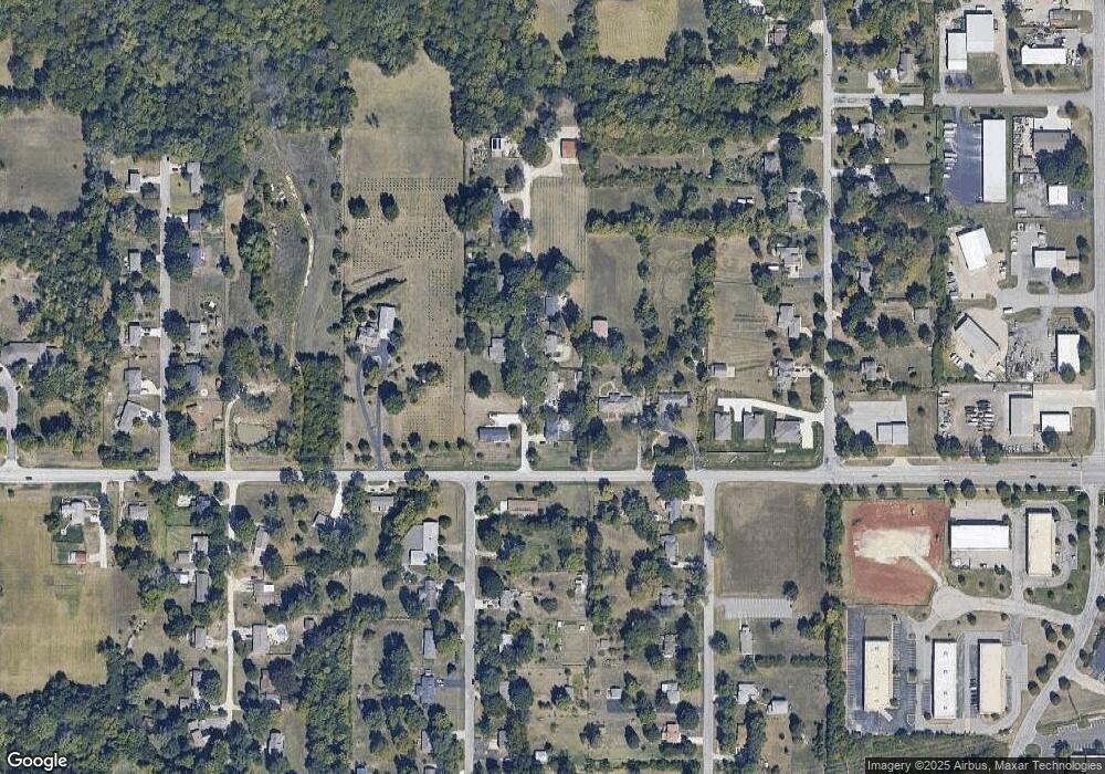
Map
Nearby Homes
- 23939 W 82nd Ct
- 8411 Houston St
- 8978 Shady Bend Rd
- 8901 Shady Bend Rd
- 8973 Shady Bend Rd
- 8972 Shady Bend Rd
- 8996 Shady Bend Rd
- 26827 W 83rd Terrace
- 26819 W 83rd Terrace
- 22915 W 72nd Terrace
- 8441 Shady Bend Rd
- 7822 Houston St
- 8307 Cassidy St
- 8331 Cassidy St
- 8338 Cassidy St
- 8315 Cassidy St
- 75 Kansas 7
- 75th Kansas 7
- 25274 W 83rd Terrace
- 23718 W 88th Terrace
- 8285 Barth Rd
- 8233 Barth Rd
- 24090 W 83rd St
- 8290 Barth Rd
- 9264 Barth Rd
- 9256 Barth Rd
- 8225 Barth Rd
- 24040 W 83rd St
- 8303 Mccormack Dr
- 8220 Barth Rd
- 8307 Mccormack Dr
- 8302 Lewis Dr
- 23945 W 82nd Ct
- 23950 W 83rd St
- 24250 W 83rd St
- 8190 Barth Rd
- 8308 Lewis Dr
- 8311 Mccormack Dr
- 8230 Gleason Rd
- 24275 W 83rd St
Your Personal Tour Guide
Ask me questions while you tour the home.