825 Clowes Rd Covington, TN 38019
Estimated Value: $330,000 - $523,745
--
Bed
--
Bath
2,699
Sq Ft
$142/Sq Ft
Est. Value
About This Home
This home is located at 825 Clowes Rd, Covington, TN 38019 and is currently estimated at $382,186, approximately $141 per square foot. 825 Clowes Rd is a home with nearby schools including Crestview Elementary School, Crestview Middle School, and Covington High School.
Ownership History
Date
Name
Owned For
Owner Type
Purchase Details
Closed on
Apr 5, 2022
Sold by
Bampfield Jr James R and Bampfield Holly L
Bought by
Glover Troy and Glover Shelby
Current Estimated Value
Purchase Details
Closed on
Aug 25, 2020
Sold by
Mathis Lincoln Wade
Bought by
Bampfield James R and Bampfield Holly L
Purchase Details
Closed on
Apr 9, 2020
Sold by
Ralph Roger and Butler Patricia
Bought by
Mathis Lincoln Wade
Home Financials for this Owner
Home Financials are based on the most recent Mortgage that was taken out on this home.
Original Mortgage
$42,000
Interest Rate
3.4%
Mortgage Type
Commercial
Create a Home Valuation Report for This Property
The Home Valuation Report is an in-depth analysis detailing your home's value as well as a comparison with similar homes in the area
Home Values in the Area
Average Home Value in this Area
Purchase History
| Date | Buyer | Sale Price | Title Company |
|---|---|---|---|
| Glover Troy | -- | Owen David E | |
| Bampfield James R | $79,800 | Wes Tenn T&E Svcs Llc | |
| Mathis Lincoln Wade | $100,000 | None Available |
Source: Public Records
Mortgage History
| Date | Status | Borrower | Loan Amount |
|---|---|---|---|
| Previous Owner | Mathis Lincoln Wade | $42,000 |
Source: Public Records
Tax History Compared to Growth
Tax History
| Year | Tax Paid | Tax Assessment Tax Assessment Total Assessment is a certain percentage of the fair market value that is determined by local assessors to be the total taxable value of land and additions on the property. | Land | Improvement |
|---|---|---|---|---|
| 2024 | $1,337 | $87,850 | $25,575 | $62,275 |
| 2023 | $804 | $25,575 | $25,575 | $0 |
| 2022 | $804 | $4,425 | $4,425 | $0 |
| 2021 | $90 | $4,425 | $4,425 | $0 |
| 2020 | $90 | $4,425 | $4,425 | $0 |
| 2019 | $95 | $3,925 | $3,925 | $0 |
Source: Public Records
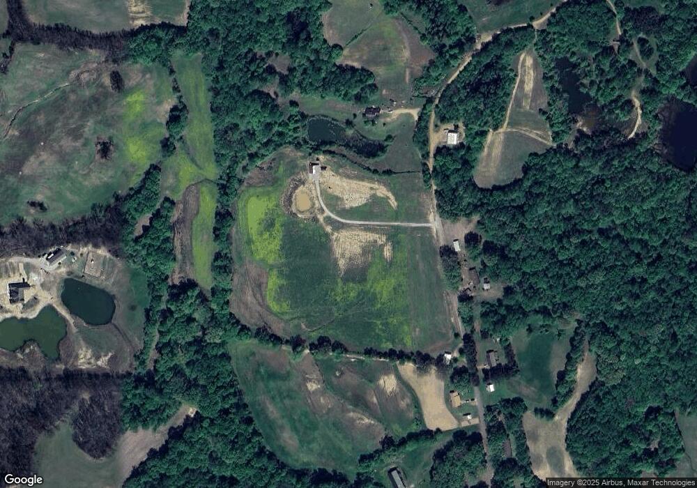
Map
Nearby Homes
- 1202 Bucksnort Rd
- 65 Paulette Cir
- 1679 Walton Loop
- 1364 Tennessee 59
- 202 Holly Grove Rd
- 1912 Kimbrough Dr
- 902 Hatchie Ave
- 900 Peete St
- 2847 Holly Grove Rd
- 0 Mcwilliams Rd
- 0 Holly Grove Rd
- 513 Garland Ave
- 000 Davis St
- 1329 Herring Dr
- 714 W Sherrod Ave
- 104 Russwood Dr
- 600 W Sherrod Ave
- 52 Stacey Ln
- 509 S College St
- 0 N Munford St Unit 10156264
- 869 Clowes Rd
- 721 Clowes Rd
- 786 Clowes Rd
- 685 Clowes Rd
- 712 Clowes Rd
- 943 Clowes Rd
- 688 Clowes Rd
- 638 Clowes Rd
- 611 Clowes Rd
- 596 Clowes Rd
- 568 Clowes Rd
- 992 Bucksnort Rd
- 486 Clowes Rd
- 1008 Bucksnort Rd
- 1049 Bucksnort Rd
- 1290 Bucksnort Rd
- 991 Bucksnort Rd
- 770 Bucksnort Rd
- 1350 Bucksnort Rd
- 746 Bucksnort Rd