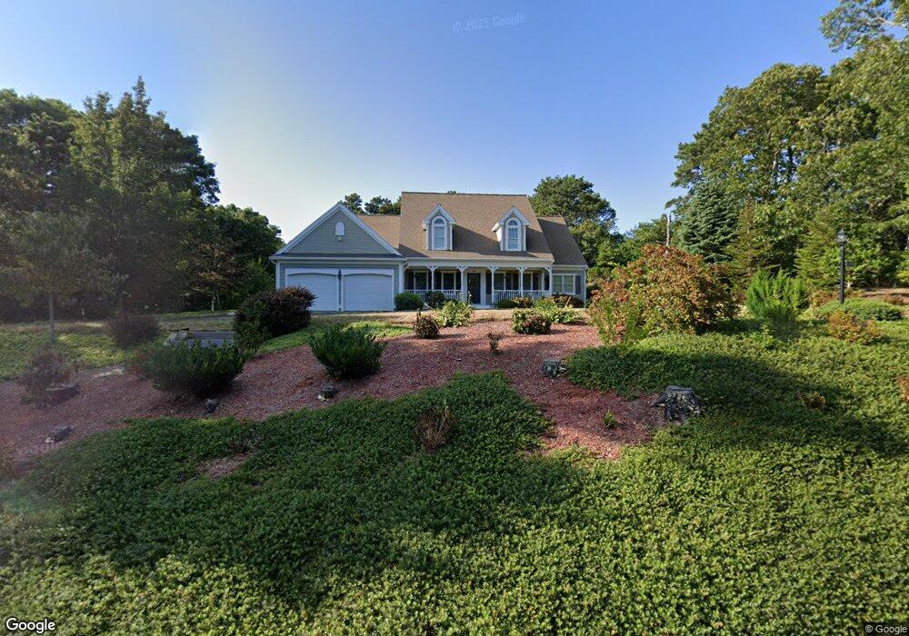
825 Crowells Bog Rd Brewster, MA 2631
Estimated Value: $1,310,000 - $1,545,855
4
Beds
3
Baths
3,157
Sq Ft
$459/Sq Ft
Est. Value
About This Home
This home is located at 825 Crowells Bog Rd, Brewster, MA 2631 and is currently estimated at $1,449,214, approximately $459 per square foot. 825 Crowells Bog Rd is a home located in Barnstable County with nearby schools including Nauset Regional Middle School, Nauset Regional High School, and Cape Cod Lighthouse Charter School.
Ownership History
Date
Name
Owned For
Owner Type
Purchase Details
Closed on
Jun 25, 2007
Sold by
Glazier Paul P
Bought by
Dellibovi Diane M and Dellibovi Vito
Current Estimated Value
Home Financials for this Owner
Home Financials are based on the most recent Mortgage that was taken out on this home.
Original Mortgage
$75,000
Outstanding Balance
$45,989
Interest Rate
6.14%
Mortgage Type
Purchase Money Mortgage
Estimated Equity
$1,403,225
Create a Home Valuation Report for This Property
The Home Valuation Report is an in-depth analysis detailing your home's value as well as a comparison with similar homes in the area
Home Values in the Area
Average Home Value in this Area
Purchase History
| Date | Buyer | Sale Price | Title Company |
|---|---|---|---|
| Dellibovi Diane M | $299,000 | -- |
Source: Public Records
Mortgage History
| Date | Status | Borrower | Loan Amount |
|---|---|---|---|
| Open | Dellibovi Diane M | $75,000 |
Source: Public Records
Tax History Compared to Growth
Tax History
| Year | Tax Paid | Tax Assessment Tax Assessment Total Assessment is a certain percentage of the fair market value that is determined by local assessors to be the total taxable value of land and additions on the property. | Land | Improvement |
|---|---|---|---|---|
| 2025 | $9,058 | $1,316,500 | $351,000 | $965,500 |
| 2024 | $8,465 | $1,243,000 | $331,200 | $911,800 |
| 2023 | $7,832 | $1,120,500 | $295,600 | $824,900 |
| 2022 | $4,535 | $577,700 | $246,300 | $331,400 |
| 2021 | $4,381 | $510,600 | $214,100 | $296,500 |
| 2020 | $4,282 | $496,800 | $214,100 | $282,700 |
| 2019 | $2,724 | $485,100 | $205,900 | $279,200 |
| 2018 | $3,973 | $481,000 | $205,900 | $275,100 |
| 2017 | $3,979 | $474,300 | $205,900 | $268,400 |
| 2016 | $3,988 | $473,100 | $215,400 | $257,700 |
| 2015 | $3,867 | $468,200 | $211,100 | $257,100 |
Source: Public Records
Map
Nearby Homes
- 33 Captain William Arthur Rd
- 958 Long Pond Rd
- 43 Billington Ln
- 43 Billington Ln Unit 43
- 30 Fox Crossing Rd
- 55 Leona Terrace
- 274 Commons Way
- 737 Thousand Oaks Dr
- 96 Eaton Ln Unit 96
- 78 Eaton Ln Unit 78
- 78 Eaton Ln
- 52 Bettys Ln
- 52 Eaton Ln Unit (52)
- 13 Harwich Pines
- 728 Great Fields Rd
- 63 Trevor Ln Unit 63
- 16 Commons Way
- 46 Court Way
- 82 Fletcher Ln Unit I
- 0 Commons Way Unit 22504099
- 814 Crowell's Bog
- 176 Sheep Pond Cir
- 186 Sheep Pond Cir
- 94 Sheep Pond Cir
- 82 Sheep Pond Cir
- 814 Crowells Bog Rd
- 74 Sheep Pond Cir
- 115 Tanglewood Rd
- 164 Sheep Pond Cir
- 108 Sheep Pond Cir
- 39 Sheep Pond Cir
- Lot 83 Sheep Pond Cir
- 183 Sheep Pond Cir
- 50 Sheep Pond Cir
- 97 Tanglewood Rd
- 169 Sheep Pond Cir
- 112 Tanglewood Rd
- 83 Sheep Pond Cir
- 120 Sheep Pond Cir
- 103 Sheep Pond Cir