825 E Davis Rd Howell, MI 48843
Estimated Value: $540,898 - $624,000
Studio
2
Baths
2,328
Sq Ft
$246/Sq Ft
Est. Value
About This Home
This home is located at 825 E Davis Rd, Howell, MI 48843 and is currently estimated at $572,475, approximately $245 per square foot. 825 E Davis Rd is a home located in Livingston County with nearby schools including Parker Middle School and Howell High School.
Ownership History
Date
Name
Owned For
Owner Type
Purchase Details
Closed on
Jun 3, 2005
Sold by
Vano David J and Vano Kerri A
Bought by
Snider Jeffrey N and Snider Karen A
Current Estimated Value
Home Financials for this Owner
Home Financials are based on the most recent Mortgage that was taken out on this home.
Original Mortgage
$250,800
Outstanding Balance
$131,858
Interest Rate
5.87%
Mortgage Type
Fannie Mae Freddie Mac
Estimated Equity
$440,617
Purchase Details
Closed on
Mar 10, 2003
Sold by
Ward Joseph B and Ward Kimberlee L
Bought by
Vano David J
Create a Home Valuation Report for This Property
The Home Valuation Report is an in-depth analysis detailing your home's value as well as a comparison with similar homes in the area
Home Values in the Area
Average Home Value in this Area
Purchase History
| Date | Buyer | Sale Price | Title Company |
|---|---|---|---|
| Snider Jeffrey N | $313,500 | Capital Title Ins Agency | |
| Vano David J | $304,000 | Metropolitan Title Company |
Source: Public Records
Mortgage History
| Date | Status | Borrower | Loan Amount |
|---|---|---|---|
| Open | Snider Jeffrey N | $250,800 | |
| Closed | Snider Jeffrey N | $62,700 |
Source: Public Records
Tax History
| Year | Tax Paid | Tax Assessment Tax Assessment Total Assessment is a certain percentage of the fair market value that is determined by local assessors to be the total taxable value of land and additions on the property. | Land | Improvement |
|---|---|---|---|---|
| 2025 | $2,288 | $261,800 | $0 | $0 |
| 2024 | $2,222 | $253,000 | $0 | $0 |
| 2023 | $2,123 | $198,300 | $0 | $0 |
| 2022 | $2,887 | $173,800 | $0 | $0 |
| 2021 | $2,815 | $173,800 | $0 | $0 |
| 2020 | $2,869 | $187,000 | $0 | $0 |
| 2019 | $2,826 | $184,700 | $0 | $0 |
| 2018 | $2,796 | $158,500 | $0 | $0 |
| 2017 | $2,756 | $162,500 | $0 | $0 |
| 2016 | $2,740 | $164,500 | $0 | $0 |
| 2014 | $2,445 | $143,100 | $0 | $0 |
| 2012 | $2,445 | $115,600 | $0 | $0 |
Source: Public Records
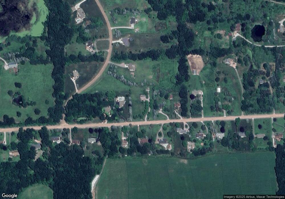
Map
Nearby Homes
- 0000 Crooked Lake Rd
- 3530 Kipling Cir
- 513 Round Rock Dr
- MOH 78 Round Rock Dr
- LOT 73 Round Rock
- 340 Mcdowell Dr
- 2315 Gilder Dr
- 2323 Gilder Dr
- 331 Mcdowell Dr
- 2298 Gilder Dr
- 2324 Gilder Dr
- 2288 Gilder Dr
- The Dunes Plan at Marion Oaks - The Links
- The Arcadia Plan at Marion Oaks - The Links
- The Bear Plan at Marion Oaks - The Links
- 652 Round Rock Dr
- 659 Round Rock Dr
- 601 Birkdale Dr (Moh 45)
- 660 Dr
- 676 Round Rock Dr
- 2883 Harvest Dr
- 2871 Harvest Dr
- 827 E Davis Rd
- 843 E Davis Rd
- 723 E Davis Rd
- 2877 Harvest Dr
- 699 E Davis Rd
- 865 E Davis Rd
- 800 E Davis Rd
- 840 E Davis Rd
- 820 E Davis Rd
- 2817 Harvest Dr
- 957 E Davis Rd
- 2930 Harvest Dr
- 750 E Davis Rd Unit Bldg-Unit
- 750 E Davis Rd
- 950 E Davis Rd
- 2854 Harvest Dr
- 0 Harvest Dr Unit 218040814
- 0 Harvest Dr Unit 218021271
Your Personal Tour Guide
Ask me questions while you tour the home.