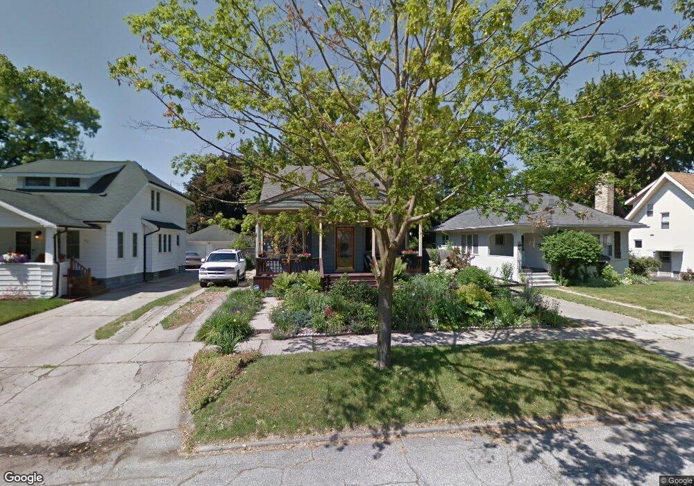
825 Frank St Flint, MI 48504
Mott Park NeighborhoodEstimated Value: $55,000 - $105,000
3
Beds
1
Bath
1,134
Sq Ft
$74/Sq Ft
Est. Value
About This Home
This home is located at 825 Frank St, Flint, MI 48504 and is currently estimated at $83,404, approximately $73 per square foot. 825 Frank St is a home located in Genesee County with nearby schools including Durant-Tuuri-Mott Elementary School, St John Vianney Catholic School, and St. Paul Lutheran School.
Ownership History
Date
Name
Owned For
Owner Type
Purchase Details
Closed on
Apr 10, 2025
Sold by
Miller Julie Ann and Maki Julie Ann
Bought by
Reliant Rentals Llc
Current Estimated Value
Purchase Details
Closed on
Aug 3, 2013
Sold by
Miller Allen L
Bought by
Miller Julie Ann
Purchase Details
Closed on
Sep 14, 2000
Sold by
Miller Allen L and Miller Julie Ann
Bought by
Miller Allen L and Miller Julie Ann
Purchase Details
Closed on
Nov 30, 1999
Sold by
Bullock Bullock D and Bullock Denise
Bought by
Townsend Julie Ann and Miller Allen L
Create a Home Valuation Report for This Property
The Home Valuation Report is an in-depth analysis detailing your home's value as well as a comparison with similar homes in the area
Home Values in the Area
Average Home Value in this Area
Purchase History
| Date | Buyer | Sale Price | Title Company |
|---|---|---|---|
| Reliant Rentals Llc | $45,000 | None Listed On Document | |
| Miller Julie Ann | -- | None Available | |
| Miller Allen L | -- | Sargents Title Company | |
| Townsend Julie Ann | $76,900 | Sargents Title Company |
Source: Public Records
Tax History Compared to Growth
Tax History
| Year | Tax Paid | Tax Assessment Tax Assessment Total Assessment is a certain percentage of the fair market value that is determined by local assessors to be the total taxable value of land and additions on the property. | Land | Improvement |
|---|---|---|---|---|
| 2025 | $907 | $38,700 | $0 | $0 |
| 2024 | $824 | $35,200 | $0 | $0 |
| 2023 | $811 | $26,800 | $0 | $0 |
| 2022 | $0 | $22,400 | $0 | $0 |
| 2021 | $841 | $18,100 | $0 | $0 |
| 2020 | $762 | $19,900 | $0 | $0 |
| 2019 | $744 | $11,400 | $0 | $0 |
| 2018 | $738 | $10,000 | $0 | $0 |
| 2017 | $956 | $0 | $0 | $0 |
| 2016 | $955 | $0 | $0 | $0 |
| 2015 | -- | $0 | $0 | $0 |
| 2014 | -- | $0 | $0 | $0 |
| 2012 | -- | $11,300 | $0 | $0 |
Source: Public Records
Map
Nearby Homes
- 2332 Nolen Dr
- 849 Frank St
- 2008 University Ave
- 448 Dougherty Place
- 820 N Chevrolet Ave
- 913 Perry St
- 709 Cadillac St
- 2448 Thomas St
- 3119 Sherwood Dr
- 612 Bradley Ave
- 1017 Perry St
- 1016 Dupont St
- 3617 Sherwood Dr
- 2663 W Court St
- 2437 Zimmerman St
- 2539 Norbert St
- 3517 Norwood Dr
- 2553 Thomas St
- 932 Bradley Ave
- 2464 Gibson St