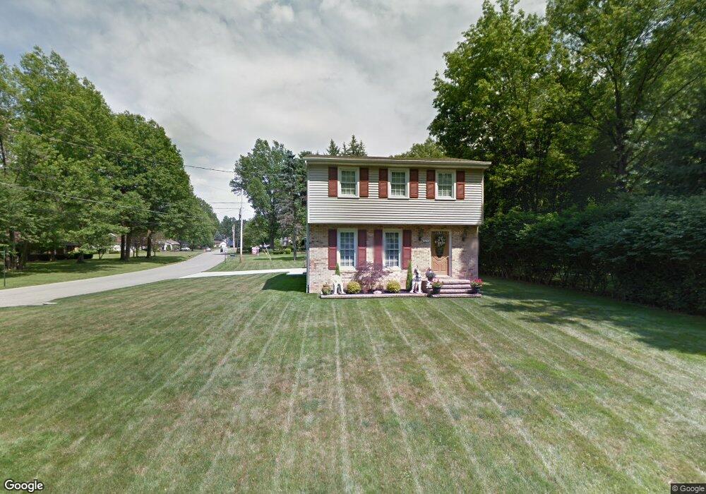
825 Glenbrook Rd Youngstown, OH 44512
Estimated Value: $223,429 - $257,000
3
Beds
2
Baths
1,651
Sq Ft
$141/Sq Ft
Est. Value
About This Home
This home is located at 825 Glenbrook Rd, Youngstown, OH 44512 and is currently estimated at $233,607, approximately $141 per square foot. 825 Glenbrook Rd is a home located in Mahoning County with nearby schools including West Boulevard Elementary School, Boardman Center Middle School, and Boardman High School.
Ownership History
Date
Name
Owned For
Owner Type
Purchase Details
Closed on
Jun 18, 2002
Sold by
Gorman James F and Gorman Katherine A
Bought by
Womer John P and Womer Sandra A
Current Estimated Value
Home Financials for this Owner
Home Financials are based on the most recent Mortgage that was taken out on this home.
Original Mortgage
$70,000
Interest Rate
6.87%
Purchase Details
Closed on
Jan 31, 1972
Bought by
Gorman James F
Create a Home Valuation Report for This Property
The Home Valuation Report is an in-depth analysis detailing your home's value as well as a comparison with similar homes in the area
Home Values in the Area
Average Home Value in this Area
Purchase History
| Date | Buyer | Sale Price | Title Company |
|---|---|---|---|
| Womer John P | $105,000 | -- | |
| Gorman James F | -- | -- |
Source: Public Records
Mortgage History
| Date | Status | Borrower | Loan Amount |
|---|---|---|---|
| Closed | Womer John P | $70,000 |
Source: Public Records
Tax History Compared to Growth
Tax History
| Year | Tax Paid | Tax Assessment Tax Assessment Total Assessment is a certain percentage of the fair market value that is determined by local assessors to be the total taxable value of land and additions on the property. | Land | Improvement |
|---|---|---|---|---|
| 2024 | $2,529 | $59,000 | $8,660 | $50,340 |
| 2023 | $2,527 | $59,000 | $8,660 | $50,340 |
| 2022 | $2,550 | $47,240 | $8,160 | $39,080 |
| 2021 | $2,551 | $47,240 | $8,160 | $39,080 |
| 2020 | $2,564 | $47,240 | $8,160 | $39,080 |
| 2019 | $2,452 | $41,080 | $7,100 | $33,980 |
| 2018 | $2,112 | $41,080 | $7,100 | $33,980 |
| 2017 | $2,078 | $41,080 | $7,100 | $33,980 |
| 2016 | $1,894 | $37,880 | $7,880 | $30,000 |
| 2015 | $1,857 | $37,880 | $7,880 | $30,000 |
| 2014 | $1,862 | $37,880 | $7,880 | $30,000 |
| 2013 | $1,839 | $37,880 | $7,880 | $30,000 |
Source: Public Records
Map
Nearby Homes
- 768 Crestview Dr
- 715 Crestview Dr
- 5200 West Blvd Unit 505
- 772 Ewing Rd
- 990 Westport Dr
- 813 Brookfield Ave
- 29 Gillian Ln
- 21.19 acres Truesdale and Lockwood Rd
- 396 Brookfield Ave
- 272 Shields Rd
- 5020 Friendship Ave
- 6632 Harrington Ave
- 169 Wolcott Dr
- 6938 Ron Park Place
- 242 Oakley Ave
- 5670 Tracy Dr
- 6892 Glenwood Ave
- 103 Wildwood Dr
- 6511 Pembrooke Place
- 0 Pinewood Dr Unit 5140025
- 829 Glenbrook Rd
- 817 Kiwana Dr
- 820 Kiwana Dr
- 811 Kiwana Dr
- 824 Glenbrook Rd
- 849 Glenbrook Rd
- 828 Glenbrook Rd
- 820 Glenbrook Rd
- 805 Kiwana Dr
- 836 Glenbrook Rd
- 816 Glenbrook Rd
- 844 Glenbrook Rd
- 804 Kiwana Dr
- 855 Glenbrook Rd
- 801 Kiwana Dr
- 850 Glenbrook Rd
- 810 Glenbrook Rd
- 803 Glenbrook Rd
- 796 Kiwana Dr
- 797 Kiwana Dr