825 Kings Point Dr W Addison, IL 60101
Estimated Value: $474,000 - $489,000
4
Beds
3
Baths
2,873
Sq Ft
$168/Sq Ft
Est. Value
About This Home
This home is located at 825 Kings Point Dr W, Addison, IL 60101 and is currently estimated at $482,716, approximately $168 per square foot. 825 Kings Point Dr W is a home located in DuPage County with nearby schools including Stone Elementary School, Indian Trail Jr High School, and Addison Trail High School.
Ownership History
Date
Name
Owned For
Owner Type
Purchase Details
Closed on
Jul 26, 2019
Sold by
Ocasio Victor L
Bought by
Leslie Casey
Current Estimated Value
Home Financials for this Owner
Home Financials are based on the most recent Mortgage that was taken out on this home.
Original Mortgage
$322,335
Outstanding Balance
$284,695
Interest Rate
4.12%
Mortgage Type
New Conventional
Estimated Equity
$198,021
Purchase Details
Closed on
Mar 19, 2007
Sold by
Ocasio Victor L and Ademoski Marsha
Bought by
Ocasio Victor L
Purchase Details
Closed on
May 14, 2003
Sold by
Eisenbraun Phillip A and Eisenbraun Deborah
Bought by
Ocasio Victor L and Ademoski Marsha
Home Financials for this Owner
Home Financials are based on the most recent Mortgage that was taken out on this home.
Original Mortgage
$242,250
Interest Rate
5.87%
Mortgage Type
Purchase Money Mortgage
Create a Home Valuation Report for This Property
The Home Valuation Report is an in-depth analysis detailing your home's value as well as a comparison with similar homes in the area
Home Values in the Area
Average Home Value in this Area
Purchase History
| Date | Buyer | Sale Price | Title Company |
|---|---|---|---|
| Leslie Casey | $339,500 | Chicago Title | |
| Ocasio Victor L | -- | None Available | |
| Ocasio Victor L | $285,000 | Multiple |
Source: Public Records
Mortgage History
| Date | Status | Borrower | Loan Amount |
|---|---|---|---|
| Open | Leslie Casey | $322,335 | |
| Previous Owner | Ocasio Victor L | $242,250 |
Source: Public Records
Tax History Compared to Growth
Tax History
| Year | Tax Paid | Tax Assessment Tax Assessment Total Assessment is a certain percentage of the fair market value that is determined by local assessors to be the total taxable value of land and additions on the property. | Land | Improvement |
|---|---|---|---|---|
| 2024 | $9,374 | $141,691 | $38,491 | $103,200 |
| 2023 | $9,558 | $138,520 | $35,200 | $103,320 |
| 2022 | $9,318 | $132,400 | $34,980 | $97,420 |
| 2021 | $8,857 | $125,790 | $33,230 | $92,560 |
| 2020 | $8,778 | $122,720 | $32,420 | $90,300 |
| 2019 | $8,745 | $117,930 | $31,150 | $86,780 |
| 2018 | $8,338 | $108,350 | $28,620 | $79,730 |
| 2017 | $7,878 | $100,430 | $26,530 | $73,900 |
| 2016 | $7,674 | $92,940 | $24,550 | $68,390 |
| 2015 | $7,093 | $86,740 | $22,910 | $63,830 |
| 2014 | $6,640 | $80,950 | $22,070 | $58,880 |
| 2013 | $6,601 | $83,720 | $22,820 | $60,900 |
Source: Public Records
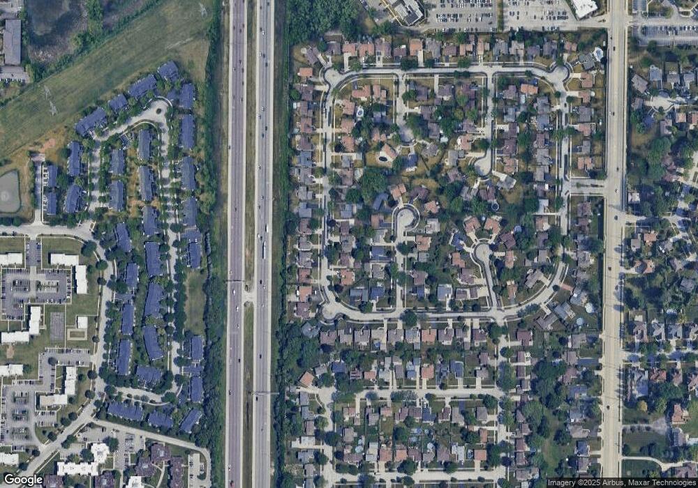
Map
Nearby Homes
- 823 N Cambridge Row
- 802 N Tamarac Blvd Unit Z5
- 865 N Tamarac Blvd
- 953 N Rohlwing Rd Unit GB
- 953 N Rohlwing Rd Unit 201A
- 943 N Rohlwing Rd Unit 101H
- 881 N Swift Rd Unit 306
- 881 N Swift Rd Unit 106
- 1795 W Jo Ann Ln
- 941 N Swift Rd Unit 301
- 1741 W Goldengate Dr Unit 2
- 1750 W Woodland Ave
- 1701 W Goldengate Dr
- 1711 W Woodland Ave
- 522 N Castle Rd
- 1560 W Goldengate Dr
- 1660 W Prescott Place
- 1801 W Army Trail Rd
- 1205 Scarlet Dr
- 20W561 Army Trail Blvd
- 821 Kings Point Dr W
- 816 N Harrow Ct
- 816 N Harrow Ct
- 812 N Harrow Ct
- 833 Kings Point Dr W
- 824 Kings Point Dr W
- 820 N Harrow Ct
- 808 N Harrow Ct
- 828 Kings Point Dr W
- 837 Kings Point Dr W
- 1844 Kings Point Dr S
- 832 Kings Point Dr W
- 816 Kings Point Dr W
- 824 N Harrow Ct
- 1840 Kings Point Dr S
- 836 Kings Point Dr W
- 812 Kings Point Dr W
- 841 Kings Point Dr W
- 828 N Harrow Ct
- 815 N Harrow Ct