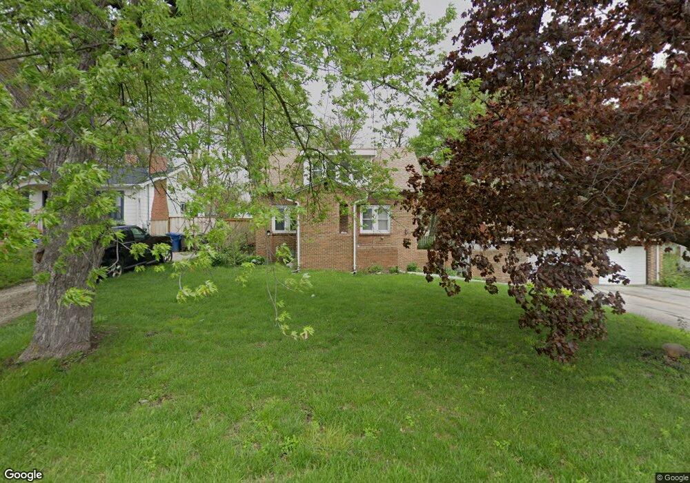
825 Maxwelton Dr Des Moines, IA 50315
Watrous Heights NeighborhoodEstimated Value: $235,000 - $253,901
3
Beds
2
Baths
1,605
Sq Ft
$153/Sq Ft
Est. Value
About This Home
This home is located at 825 Maxwelton Dr, Des Moines, IA 50315 and is currently estimated at $245,475, approximately $152 per square foot. 825 Maxwelton Dr is a home located in Polk County with nearby schools including South Union Elementary School, Brody Middle School, and Lincoln High School.
Ownership History
Date
Name
Owned For
Owner Type
Purchase Details
Closed on
Jul 24, 2001
Sold by
Wallace Maxine R and Wallace Donald M
Bought by
Lattimer James and Lattimer Misty
Current Estimated Value
Home Financials for this Owner
Home Financials are based on the most recent Mortgage that was taken out on this home.
Original Mortgage
$95,200
Outstanding Balance
$36,688
Interest Rate
7.14%
Estimated Equity
$208,787
Purchase Details
Closed on
Jun 11, 1997
Sold by
Meulemans Maxine R and Garber Maxine R
Bought by
Wallace Maxine R and Wallace Donald M
Create a Home Valuation Report for This Property
The Home Valuation Report is an in-depth analysis detailing your home's value as well as a comparison with similar homes in the area
Home Values in the Area
Average Home Value in this Area
Purchase History
| Date | Buyer | Sale Price | Title Company |
|---|---|---|---|
| Lattimer James | $118,500 | -- | |
| Wallace Maxine R | -- | -- |
Source: Public Records
Mortgage History
| Date | Status | Borrower | Loan Amount |
|---|---|---|---|
| Open | Lattimer James | $95,200 |
Source: Public Records
Tax History Compared to Growth
Tax History
| Year | Tax Paid | Tax Assessment Tax Assessment Total Assessment is a certain percentage of the fair market value that is determined by local assessors to be the total taxable value of land and additions on the property. | Land | Improvement |
|---|---|---|---|---|
| 2025 | $4,104 | $249,500 | $38,200 | $211,300 |
| 2024 | $4,104 | $219,100 | $33,300 | $185,800 |
| 2023 | $3,838 | $219,100 | $33,300 | $185,800 |
| 2022 | $3,806 | $171,700 | $27,400 | $144,300 |
| 2021 | $3,758 | $171,700 | $27,400 | $144,300 |
| 2020 | $3,898 | $159,200 | $25,700 | $133,500 |
| 2019 | $3,564 | $159,200 | $25,700 | $133,500 |
| 2018 | $3,522 | $141,100 | $22,400 | $118,700 |
| 2017 | $3,362 | $141,100 | $22,400 | $118,700 |
| 2016 | $3,270 | $132,800 | $20,800 | $112,000 |
| 2015 | $3,270 | $132,800 | $20,800 | $112,000 |
| 2014 | $3,252 | $135,900 | $20,700 | $115,200 |
Source: Public Records
Map
Nearby Homes
- . Herold Ave
- 518 Maxwelton Dr
- 612 Emma Ave
- 930 Emma Ave
- 515 Emma Ave
- 936 Mckinley Ave Unit 14
- 1116 Herold Ave
- 304 Herold Ave
- 1204 Elder Ln
- 1203 Herold Ave
- 1207 Emma Ave
- 3903 SW 9th St
- 4108 SW 12th St
- 4020 SW 12th St
- 1219 Elder Ln
- 1223 Emma Ave
- 520 Hackley Ave
- 1229 Evans St
- 931 Rose Ave
- 212 Titus Ave
- 827 Maxwelton Dr
- 713 Maxwelton Dr
- 804 Philip St
- 808 Philip St
- 709 Maxwelton Dr
- 720 Maxwelton Dr
- 802 Philip St
- 714 Maxwelton Dr
- 826 Maxwelton Dr
- 4407 SW 9th St
- 4411 SW 9th St
- 830 Maxwelton Dr
- 710 Philip St
- 710 Maxwelton Dr
- 707 Maxwelton Dr
- 706 Philip St
- 706 Maxwelton Dr
- 809 Philip St
- 807 Philip St
- 805 Philip St