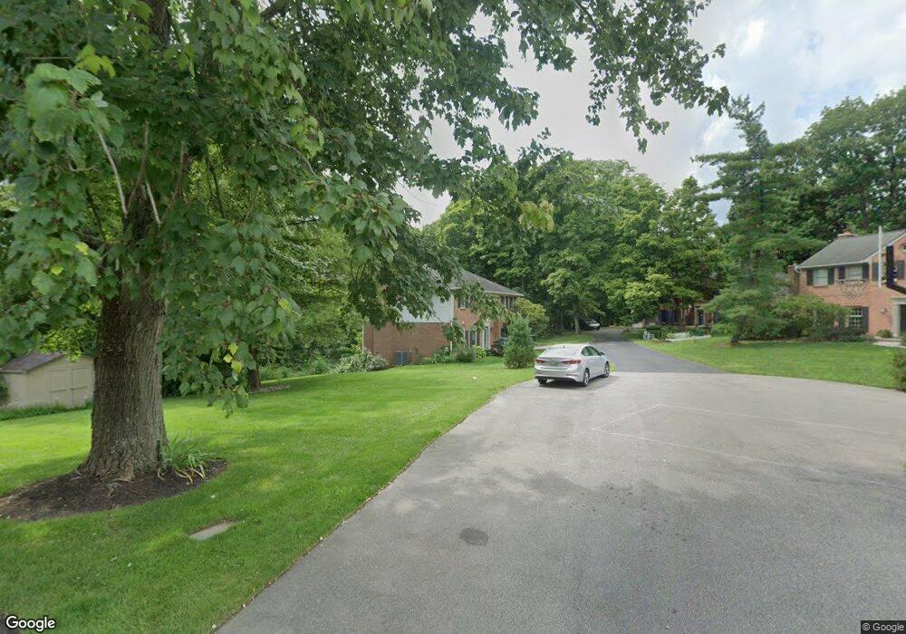
825 Shawnee Trace Ct Cincinnati, OH 45255
Estimated Value: $607,000 - $655,000
4
Beds
4
Baths
3,524
Sq Ft
$178/Sq Ft
Est. Value
About This Home
This home is located at 825 Shawnee Trace Ct, Cincinnati, OH 45255 and is currently estimated at $626,471, approximately $177 per square foot. 825 Shawnee Trace Ct is a home located in Hamilton County with nearby schools including Ayer Elementary School, Nagel Middle School, and Anderson High School.
Ownership History
Date
Name
Owned For
Owner Type
Purchase Details
Closed on
Aug 9, 2011
Sold by
Ose Sarah B and Ose Paul A
Bought by
Wang Hongmei and Pan Guangdon
Current Estimated Value
Home Financials for this Owner
Home Financials are based on the most recent Mortgage that was taken out on this home.
Original Mortgage
$125,001
Interest Rate
4.64%
Mortgage Type
New Conventional
Create a Home Valuation Report for This Property
The Home Valuation Report is an in-depth analysis detailing your home's value as well as a comparison with similar homes in the area
Home Values in the Area
Average Home Value in this Area
Purchase History
| Date | Buyer | Sale Price | Title Company |
|---|---|---|---|
| Wang Hongmei | $275,000 | Attorney |
Source: Public Records
Mortgage History
| Date | Status | Borrower | Loan Amount |
|---|---|---|---|
| Closed | Wang Hongmei | $125,001 |
Source: Public Records
Tax History Compared to Growth
Tax History
| Year | Tax Paid | Tax Assessment Tax Assessment Total Assessment is a certain percentage of the fair market value that is determined by local assessors to be the total taxable value of land and additions on the property. | Land | Improvement |
|---|---|---|---|---|
| 2024 | $10,119 | $166,569 | $30,272 | $136,297 |
| 2023 | $9,624 | $166,569 | $30,272 | $136,297 |
| 2022 | $7,460 | $114,926 | $27,370 | $87,556 |
| 2021 | $7,284 | $114,926 | $27,370 | $87,556 |
| 2020 | $7,367 | $114,926 | $27,370 | $87,556 |
| 2019 | $7,181 | $101,703 | $24,220 | $77,483 |
| 2018 | $6,726 | $101,703 | $24,220 | $77,483 |
| 2017 | $6,345 | $101,703 | $24,220 | $77,483 |
| 2016 | $6,147 | $96,251 | $24,252 | $71,999 |
| 2015 | $5,970 | $96,251 | $24,252 | $71,999 |
| 2014 | $5,973 | $96,251 | $24,252 | $71,999 |
| 2013 | $5,681 | $96,793 | $24,745 | $72,048 |
Source: Public Records
Map
Nearby Homes
- 792 Farmsworth Ct
- 7714 Forest Rd
- 7754 Forest Rd
- 881 Asbury Rd
- 7754 Fox Trail Ln
- 804 Eaglesknoll Ct
- 906 Woodlyn Dr N Unit 4
- 1037 Asbury Rd
- 7922 Bar Harbor Dr
- 7978 Nagel Village Dr
- 559 Asbury Rd
- 7988 Woodruff Rd
- 7335 Five Mile Rd
- 8016 Hignite Ct
- 1013 Wittshire Ln
- 1019 Wittshire Ln
- 1353 Crotty Ct
- 7158 Dunn Rd
- 8119 Witts Meadow Ln
- 1419 Wolfangel Rd
- 827 Shawnee Trace Ct
- 7700 Asbury Hills Dr
- 829 Shawnee Trace Ct
- 823 Shawnee Trace Ct
- 7706 Asbury Hills Dr
- 833 Shawnee Trace Ct
- 7701 Asbury Hills Dr
- 7714 Asbury Hills Dr
- 831 Shawnee Trace Ct
- 821 Shawnee Trace Ct
- 835 Shawnee Trace Ct
- 819 Shawnee Trace Ct
- 7707 Asbury Hills Dr
- 837 Shawnee Trace Ct
- 813 Shawnee Trace Ct
- 7715 Asbury Hills Dr
- 807 Shawnee Trace Ct
- 843 Shawnee Trace Ct
- 7723 Asbury Hills Dr
- 0 Old 5 Mile Rd