825 W Cove Way Sacramento, CA 95831
Pocket-Greenhaven NeighborhoodEstimated Value: $1,108,000 - $1,552,810
4
Beds
5
Baths
4,456
Sq Ft
$309/Sq Ft
Est. Value
About This Home
This home is located at 825 W Cove Way, Sacramento, CA 95831 and is currently estimated at $1,376,703, approximately $308 per square foot. 825 W Cove Way is a home located in Sacramento County with nearby schools including Matsuyama Elementary School, Sam Brannan Middle School, and John F. Kennedy High School.
Ownership History
Date
Name
Owned For
Owner Type
Purchase Details
Closed on
Oct 24, 2013
Sold by
Arnold Deborah E
Bought by
Arnold Deborah E and Deborah E Arnold Trust
Current Estimated Value
Purchase Details
Closed on
Sep 3, 2013
Sold by
Arnold Michael J
Bought by
Arnold Deborah E
Purchase Details
Closed on
Dec 20, 2010
Sold by
Arnold Michael J and Arnold Deborah E
Bought by
Arnold Michael J and Arnold Deborah E
Create a Home Valuation Report for This Property
The Home Valuation Report is an in-depth analysis detailing your home's value as well as a comparison with similar homes in the area
Home Values in the Area
Average Home Value in this Area
Purchase History
| Date | Buyer | Sale Price | Title Company |
|---|---|---|---|
| Arnold Deborah E | -- | None Available | |
| Arnold Deborah E | -- | None Available | |
| Arnold Michael J | -- | None Available | |
| Arnold Michael J | -- | None Available |
Source: Public Records
Tax History Compared to Growth
Tax History
| Year | Tax Paid | Tax Assessment Tax Assessment Total Assessment is a certain percentage of the fair market value that is determined by local assessors to be the total taxable value of land and additions on the property. | Land | Improvement |
|---|---|---|---|---|
| 2025 | $13,333 | $1,129,448 | $413,704 | $715,744 |
| 2024 | $13,333 | $1,107,303 | $405,593 | $701,710 |
| 2023 | $13,015 | $1,085,592 | $397,641 | $687,951 |
| 2022 | $12,813 | $1,064,307 | $389,845 | $674,462 |
| 2021 | $12,203 | $1,043,439 | $382,201 | $661,238 |
| 2020 | $12,304 | $1,032,740 | $378,282 | $654,458 |
| 2019 | $12,042 | $1,012,491 | $370,865 | $641,626 |
| 2018 | $11,731 | $992,640 | $363,594 | $629,046 |
| 2017 | $11,571 | $973,177 | $356,465 | $616,712 |
| 2016 | $11,296 | $954,096 | $349,476 | $604,620 |
| 2015 | $11,132 | $939,766 | $344,227 | $595,539 |
| 2014 | $10,836 | $921,359 | $337,485 | $583,874 |
Source: Public Records
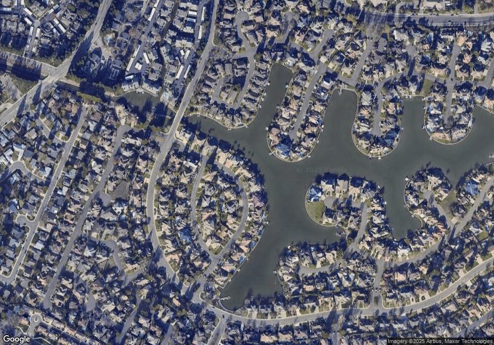
Map
Nearby Homes
- 7922 Collins Isle Ln
- 7716 George River Ln
- 4 Park River Oak Ct
- 8055 Linda Isle Ln
- 7724 Silva Ranch Way
- 7791 Park River Oak Cir
- 7441 Spicewood Dr
- 943 Shore Breeze Dr
- 977 Coleman Ranch Way
- 4 Bingham Cir
- 7717 E Port Dr
- 4 Marina Blue Ct
- 462 de Mar Dr
- 420 Seagull Way
- 52415-52979 S River Rd
- 1053 L Aloutte Way
- 14 Morningsun Ct
- 7701 Sleepy River Way
- 625 Valim Way
- 1100 La Fleur Way
- 829 W Cove Way
- 821 W Cove Way
- 824 W Cove Way
- 828 W Cove Way
- 817 W Cove Way
- 833 W Cove Way
- 820 W Cove Way
- 7601 W Vista Way
- 834 W Cove Way
- 30 Watercrest Ct
- 7603 W Vista Way
- 813 W Cove Way
- 837 W Cove Way
- 28 Watercrest Ct
- 7615 W Vista Way
- 840 W Cove Way
- 7604 W Vista Way
- 45 Watershore Cir
- 27 Watercrest Ct
- 51 Watershore Cir