8261 Nc Highway 700 Ruffin, NC 27326
Estimated Value: $140,000 - $231,000
--
Bed
1
Bath
1,696
Sq Ft
$111/Sq Ft
Est. Value
About This Home
This home is located at 8261 Nc Highway 700, Ruffin, NC 27326 and is currently estimated at $188,302, approximately $111 per square foot. 8261 Nc Highway 700 is a home located in Rockingham County with nearby schools including Lincoln Elementary School, Rockingham County Middle School, and Rockingham County High School.
Ownership History
Date
Name
Owned For
Owner Type
Purchase Details
Closed on
Mar 29, 2021
Sold by
Lovelace Alicia
Bought by
Stone Victoria Lovelace
Current Estimated Value
Purchase Details
Closed on
Sep 21, 2007
Sold by
Nichols Mary A and Kelly Debra A
Bought by
Lovelace Todd and Lovelace Alicia
Home Financials for this Owner
Home Financials are based on the most recent Mortgage that was taken out on this home.
Original Mortgage
$77,826
Interest Rate
6.41%
Mortgage Type
New Conventional
Create a Home Valuation Report for This Property
The Home Valuation Report is an in-depth analysis detailing your home's value as well as a comparison with similar homes in the area
Home Values in the Area
Average Home Value in this Area
Purchase History
| Date | Buyer | Sale Price | Title Company |
|---|---|---|---|
| Stone Victoria Lovelace | -- | None Available | |
| Lovelace Todd | $76,500 | None Available |
Source: Public Records
Mortgage History
| Date | Status | Borrower | Loan Amount |
|---|---|---|---|
| Previous Owner | Lovelace Todd | $77,826 |
Source: Public Records
Tax History Compared to Growth
Tax History
| Year | Tax Paid | Tax Assessment Tax Assessment Total Assessment is a certain percentage of the fair market value that is determined by local assessors to be the total taxable value of land and additions on the property. | Land | Improvement |
|---|---|---|---|---|
| 2025 | $892 | $132,697 | $25,308 | $107,389 |
| 2024 | $892 | $132,697 | $25,308 | $107,389 |
| 2023 | $892 | $78,870 | $23,007 | $55,863 |
| 2022 | $548 | $78,870 | $23,007 | $55,863 |
| 2021 | $548 | $78,870 | $23,007 | $55,863 |
| 2020 | $548 | $78,870 | $23,007 | $55,863 |
| 2019 | $548 | $78,870 | $23,007 | $55,863 |
| 2018 | $556 | $79,816 | $21,236 | $58,580 |
| 2017 | $556 | $79,816 | $21,236 | $58,580 |
| 2015 | $561 | $79,816 | $21,236 | $58,580 |
| 2014 | $556 | $79,816 | $21,236 | $58,580 |
Source: Public Records
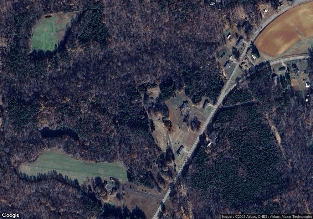
Map
Nearby Homes
- 00 N Carolina 700
- 0 Stewart Rd
- 393 Stewart Rd
- 7570 Nc Highway 700
- 2180 Mayfield Rd
- 461 Gravel Hill Rd
- 1191 Perkinson Rd
- 979 Perkinson Rd
- 883 Goose Pond Rd
- 00 Bluestone Rd
- 9841 N Carolina 700
- 111 S River Rd
- 01 Dibrell Rd
- 1770 Pryor Rd
- 301 Pryor Rd
- 7.37 AC Berry Hill Rd
- 00 Chandler Mill Rd
- 10824 N Carolina 700
- 260 Kennon Rd
- 1289 Buford Rd
- 8319 Nc Highway 700
- 8279 Nc Highway 700
- 8333 Nc Highway 700
- 8301 Nc Highway 700
- 8244 Nc Highway 700
- 8229 Nc Highway 700
- 8391 Nc Highway 700
- 8214 Nc Highway 700
- 161 Loop Rd
- 121 Berry Hill Bridge Rd
- 8420 Nc Highway 700
- 175 Loop Rd
- 8436 Nc Highway 700
- 8153 Nc Highway 700
- 111 Berry Hill Bridge Rd
- 8111 Nc Highway 700
- 152 Dix Rd
- 8490 Nc Highway 700
- 00 Dix Rd
- 001 Dix Rd Unit South Tract (B)