8263 State Highway 25 NE Monticello, MN 55362
Estimated Value: $435,561 - $562,000
3
Beds
2
Baths
1,474
Sq Ft
$326/Sq Ft
Est. Value
About This Home
This home is located at 8263 State Highway 25 NE, Monticello, MN 55362 and is currently estimated at $481,140, approximately $326 per square foot. 8263 State Highway 25 NE is a home located in Wright County with nearby schools including Little Mountain Elementary School, Monticello Middle School, and Monticello Senior High School.
Ownership History
Date
Name
Owned For
Owner Type
Purchase Details
Closed on
Oct 29, 2004
Sold by
Yuker Thad A and Yuker Cassandra
Bought by
Arma Property Llc
Current Estimated Value
Purchase Details
Closed on
May 25, 2000
Sold by
Bingham Thomas W and Bingham Susan M
Bought by
Yuker Thad A
Create a Home Valuation Report for This Property
The Home Valuation Report is an in-depth analysis detailing your home's value as well as a comparison with similar homes in the area
Home Values in the Area
Average Home Value in this Area
Purchase History
| Date | Buyer | Sale Price | Title Company |
|---|---|---|---|
| Arma Property Llc | $650,000 | -- | |
| Yuker Thad A | $219,900 | -- |
Source: Public Records
Mortgage History
| Date | Status | Borrower | Loan Amount |
|---|---|---|---|
| Closed | Arma Property Llc | -- |
Source: Public Records
Tax History Compared to Growth
Tax History
| Year | Tax Paid | Tax Assessment Tax Assessment Total Assessment is a certain percentage of the fair market value that is determined by local assessors to be the total taxable value of land and additions on the property. | Land | Improvement |
|---|---|---|---|---|
| 2025 | $3,580 | $411,100 | $302,000 | $109,100 |
| 2024 | $3,824 | $453,000 | $345,300 | $107,700 |
| 2023 | $3,824 | $524,500 | $326,200 | $198,300 |
| 2022 | $3,304 | $453,400 | $268,400 | $185,000 |
| 2021 | $3,028 | $349,300 | $190,600 | $158,700 |
| 2020 | $3,080 | $310,600 | $156,000 | $154,600 |
| 2019 | $3,004 | $309,900 | $0 | $0 |
| 2018 | $2,774 | $289,900 | $0 | $0 |
| 2017 | $2,612 | $283,400 | $0 | $0 |
| 2016 | $2,540 | $0 | $0 | $0 |
| 2015 | $2,514 | $0 | $0 | $0 |
| 2014 | -- | $0 | $0 | $0 |
Source: Public Records
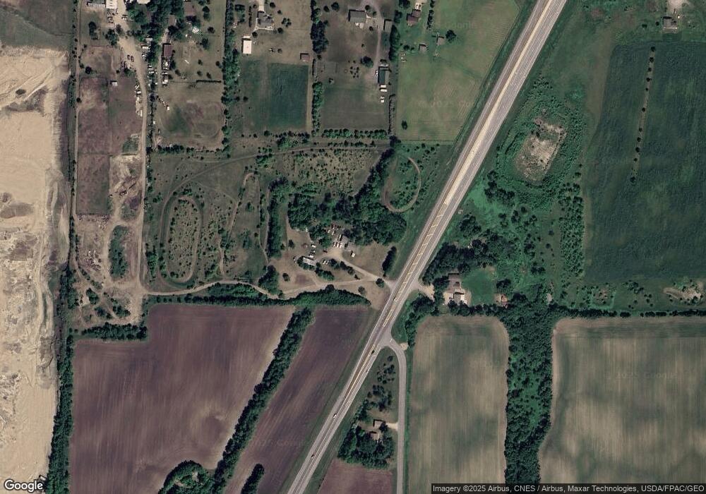
Map
Nearby Homes
- TBD8.5 County Road 106
- xxx1 Csah 39
- xxx2 Csah 39
- 4334 86th St NE
- 8660 Edmonson Way NE
- The Maplewood Plan at Meadowbrook
- The Weston Plan at Meadowbrook
- The Summit Plan at Meadowbrook
- The Oak Ridge Plan at Meadowbrook
- The Augusta Plan at Meadowbrook
- The Madison Plan at Meadowbrook
- The Washington Plan at Meadowbrook
- The Hillcrest Plan at Meadowbrook
- The Brookview Plan at Meadowbrook
- The Crestview Plan at Meadowbrook
- The Windsor Plan at Meadowbrook
- The Silvercreek Plan at Meadowbrook
- 4510 86th St NE
- The Somerset Plan at Meadowbrook
- The Tahoe Plan at Meadowbrook
- 8270 State Highway 25 NE
- 8153 Davidson Ave NE
- 3455 85th St NE
- 3503 85th St NE
- 3385 85th St NE
- 6284 6284 85th-Street-ne
- 3333 85th St NE
- 3474 85th St NE
- 3412 85th St NE
- 3295 85th St NE
- 8025 State Highway 25 NE
- 8528 Darrow Ave NE
- 8558 Davern Ave NE
- 8554 Darrow Ave NE
- 8571 Davern Ave NE
- 8523 Darrow Ave NE
- 8580 Davern Ave NE
- 3691 85th St NE
- 8549 Darrow Ave NE
- 8582 Darrow Ave NE