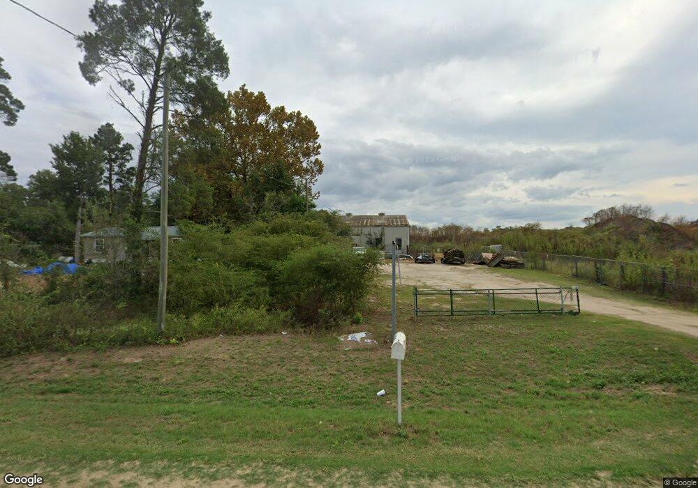
8265 Blountstown Hwy Tallahassee, FL 32310
Estimated Value: $101,812
2
Beds
1
Bath
2,400
Sq Ft
$42/Sq Ft
Est. Value
About This Home
This home is located at 8265 Blountstown Hwy, Tallahassee, FL 32310 and is currently estimated at $101,812, approximately $42 per square foot. 8265 Blountstown Hwy is a home located in Leon County with nearby schools including Fort Braden School and Amos P. Godby High School.
Ownership History
Date
Name
Owned For
Owner Type
Purchase Details
Closed on
Aug 13, 2013
Sold by
Whetstone Hannon Llc
Bought by
Solomon C & D Landfill Llc
Current Estimated Value
Home Financials for this Owner
Home Financials are based on the most recent Mortgage that was taken out on this home.
Original Mortgage
$165,000
Interest Rate
4.39%
Mortgage Type
Commercial
Purchase Details
Closed on
Apr 5, 2012
Sold by
Hannon Sherry Whetstone and Whetstone Sandra S
Bought by
Whetstone Hannon Llc
Create a Home Valuation Report for This Property
The Home Valuation Report is an in-depth analysis detailing your home's value as well as a comparison with similar homes in the area
Home Values in the Area
Average Home Value in this Area
Purchase History
| Date | Buyer | Sale Price | Title Company |
|---|---|---|---|
| Solomon C & D Landfill Llc | $50,000 | Attorney | |
| Whetstone Hannon Llc | -- | Attorney |
Source: Public Records
Mortgage History
| Date | Status | Borrower | Loan Amount |
|---|---|---|---|
| Closed | Solomon C & D Landfill Llc | $165,000 |
Source: Public Records
Tax History Compared to Growth
Tax History
| Year | Tax Paid | Tax Assessment Tax Assessment Total Assessment is a certain percentage of the fair market value that is determined by local assessors to be the total taxable value of land and additions on the property. | Land | Improvement |
|---|---|---|---|---|
| 2024 | $1,415 | $75,739 | $28,320 | $47,419 |
| 2023 | $1,343 | $70,500 | $28,320 | $42,180 |
| 2022 | $1,306 | $74,917 | $28,320 | $46,597 |
| 2021 | $1,228 | $66,954 | $28,320 | $38,634 |
| 2020 | $1,558 | $64,809 | $28,320 | $36,489 |
| 2019 | $1,541 | $62,804 | $28,320 | $34,484 |
| 2018 | $1,537 | $61,751 | $28,320 | $33,431 |
| 2017 | $1,547 | $61,486 | $0 | $0 |
| 2016 | $1,439 | $60,706 | $0 | $0 |
| 2015 | $1,810 | $59,239 | $0 | $0 |
| 2014 | $1,810 | $47,197 | $0 | $0 |
Source: Public Records
Map
Nearby Homes
- 8401 Blountstown Hwy
- 8084 Baby Farm Rd N
- 8032 Baby Farm Dr N
- 1016 Nature Trail Way
- 200 Francis Maples Dr
- 7674 Christy Cary Ln
- 629 Saint Patrick Dr
- xxx Parramore Shores Rd
- 6339 Aaronbrooke Ln
- 6206 Blountstown Hwy
- 1037 Lacey Ln
- 541 Doctor Carolyn Ryals Way Unit 3
- 1319 Late Sunset Way
- 1315 Late Sunset Way
- 1107 Fernwood Rd
- 362 Burks Ln
- 0 Blue Star Hwy Unit 380559
- 5832 W Tenneseee St
- 5490 & 5480 Jackson Bluff Rd
- 5500 Debbie Dr
- 8253 Blountstown Hwy
- 1354 Hollow Pine Ln
- 1354 Hollow Pine Ln
- 1354 - 136 Hollow Pine Ln
- 1356 Hollow Pine Ln Unit 2
- 1356 Hollow Pine Ln
- 1360 Hollow Pine Ln Unit 2
- 1360 Hollow Pine Ln
- 1360 Hollow Pine Ln
- XXX Blountstown Hwy
- XXX Blountstown Hwy
- 1366 Hollow Pine Ln Unit 2
- 1366 Hollow Pine Ln
- 1368 Hollow Pine Ln Unit 6
- 1368 Hollow Pine Ln
- 1368 Hollow Pine Ln Unit 3
- 1368 Hollow Pine Ln
- 8183 Blountstown Hwy
- 8305 Blountstown Hwy
- 8393 Blountstown Hwy