8265 Highway 100 Buchanan, GA 30113
Estimated Value: $265,116 - $310,000
3
Beds
2
Baths
1,958
Sq Ft
$147/Sq Ft
Est. Value
About This Home
This home is located at 8265 Highway 100, Buchanan, GA 30113 and is currently estimated at $288,372, approximately $147 per square foot. 8265 Highway 100 is a home located in Haralson County with nearby schools including Haralson County High School.
Ownership History
Date
Name
Owned For
Owner Type
Purchase Details
Closed on
Jun 9, 2008
Sold by
Not Provided
Bought by
Robinson Geraldine H
Current Estimated Value
Purchase Details
Closed on
Feb 17, 2005
Sold by
Walker Robert L
Bought by
Robinson Geraldine H
Purchase Details
Closed on
Aug 11, 1984
Sold by
Sutton Beam C
Bought by
Robinson Jerry Ray and Robinson Geraldine H
Purchase Details
Closed on
Feb 26, 1979
Sold by
Sutton Richard C
Bought by
Sutton Beam C
Purchase Details
Closed on
Sep 23, 1978
Sold by
Walker James L
Bought by
Sutton Richard C
Create a Home Valuation Report for This Property
The Home Valuation Report is an in-depth analysis detailing your home's value as well as a comparison with similar homes in the area
Home Values in the Area
Average Home Value in this Area
Purchase History
| Date | Buyer | Sale Price | Title Company |
|---|---|---|---|
| Robinson Geraldine H | -- | -- | |
| Robinson Geraldine H | $20,000 | -- | |
| Robinson Jerry Ray | -- | -- | |
| Sutton Beam C | -- | -- | |
| Sutton Richard C | -- | -- | |
| Sutton Richard C | -- | -- |
Source: Public Records
Tax History Compared to Growth
Tax History
| Year | Tax Paid | Tax Assessment Tax Assessment Total Assessment is a certain percentage of the fair market value that is determined by local assessors to be the total taxable value of land and additions on the property. | Land | Improvement |
|---|---|---|---|---|
| 2024 | $1,174 | $56,203 | $17,546 | $38,657 |
| 2023 | $1,051 | $67,386 | $23,823 | $43,564 |
| 2022 | $1,310 | $59,711 | $23,823 | $35,888 |
| 2021 | $1,301 | $57,433 | $23,168 | $34,265 |
| 2020 | $1,132 | $47,579 | $11,777 | $35,802 |
| 2019 | $1,184 | $47,859 | $11,777 | $36,082 |
| 2018 | $1,172 | $46,815 | $10,733 | $36,082 |
| 2017 | $1,124 | $41,639 | $10,733 | $30,906 |
| 2016 | $1,115 | $43,653 | $9,889 | $33,764 |
| 2015 | $1,091 | $42,927 | $9,889 | $33,038 |
| 2014 | $1,087 | $43,488 | $9,889 | $33,599 |
Source: Public Records
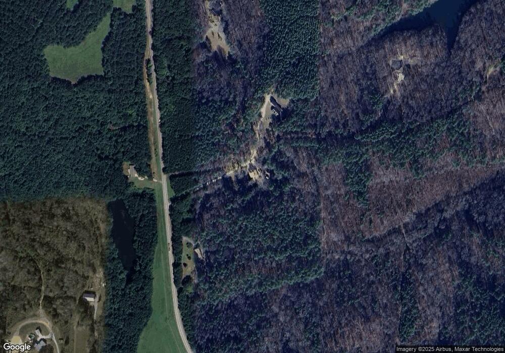
Map
Nearby Homes
- 0 Cross Roads Church Rd Unit 7629947
- 0 Cross Roads Church Rd Unit 10580810
- 7711 Highway 100
- 50 + - Acres Off Ga Hwy 78
- 0 Carnes Rd Unit 147233
- 6934 Georgia 100
- 661 Wildcat Rd
- 0 Susie Pope Rd Unit 10499156
- 0 Susie Pope Rd Unit 10399491
- 0 Bethlehem Church Rd Unit 7655973
- 0 Bethlehem Church Rd Unit 7645984
- Tract3 Georgia Highway 100
- 7724 Georgia Highway 100
- 845 Crossroads Church Rd
- 1870 Tallapoosa Hwy
- 7780 Georgia Highway 100
- 765 Addison Rd
- 767 Addison Rd
- 1200 Roy Brown Rd
- 557 Grogan Rd
- 8263 Highway 100
- 8241 Highway 100
- 8284 Highway 100
- 8381 Georgia 100
- 8061 Highway 100
- 8144 Highway 100
- 8442 Highway 100
- 8442 Highway 100 Unit 84
- 8442 Highway 100
- 2655 Crossroads Church Rd
- 8003 Highway 100
- 2625 Crossroads Church Rd
- 8493 Highway 100
- 2629 Crossroads Church Rd
- 8457 Highway 100
- 7959 Highway 100
- 8070 Highway 100
- 8074 Highway 100
- 8271 Highway 100
- 2635 Crossroads Church Rd